A digital platform for a district on a single map
ACS Municipal Navigator
Content management for a municipality and an interactive pixel map of the district in one system. Sites, sections, FAQ, roll of honour and contacts — for the administration, the kiosk and the website.
What is inside
We build one digital shop window for a district that works both in the administration and in the kiosk of a visitor.
-
Organisations and districts
A hierarchical model of organisation and district; one instance serves several municipalities
-
Pixel map of the district
Loading an image of the district map and fixing objects at X/Y coordinates
-
Sections (content categories)
Education, healthcare, culture, sport, utilities — each with a colour and an icon
-
Objects on the map
Institutions, organisations and points of interest with a description, contacts and a cover image
-
FAQ for objects
Frequent questions and answers for the visitor right in the record of the object
-
Roll of honour
Distinguished residents, employees and veterans with a photograph, position and year of the award
-
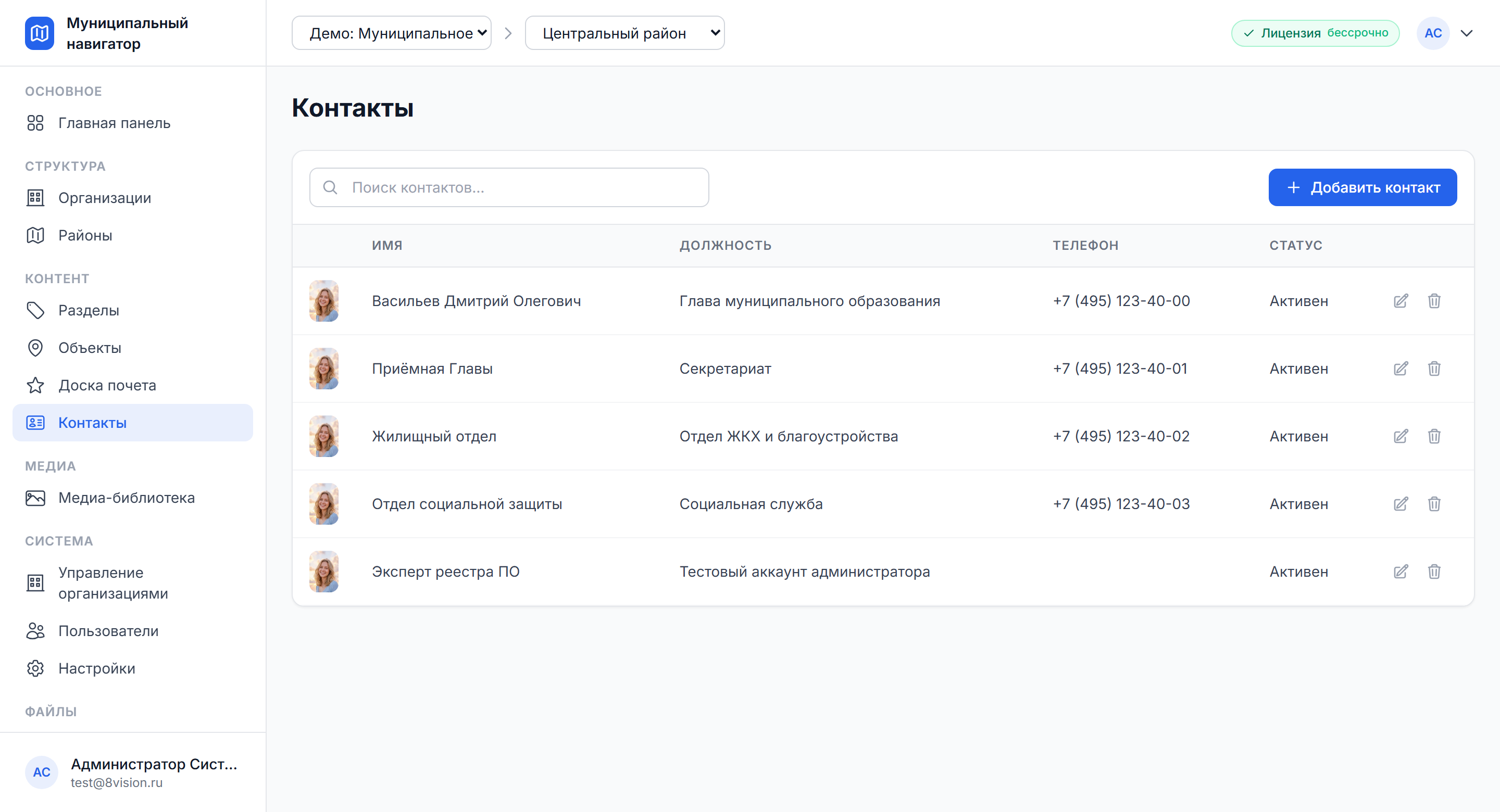
District contacts
An address book: name, position, telephone, email, photograph
-
Media library and public API
A tree-shaped file store and open endpoints for the kiosk and the embeddable widget
Interface
-
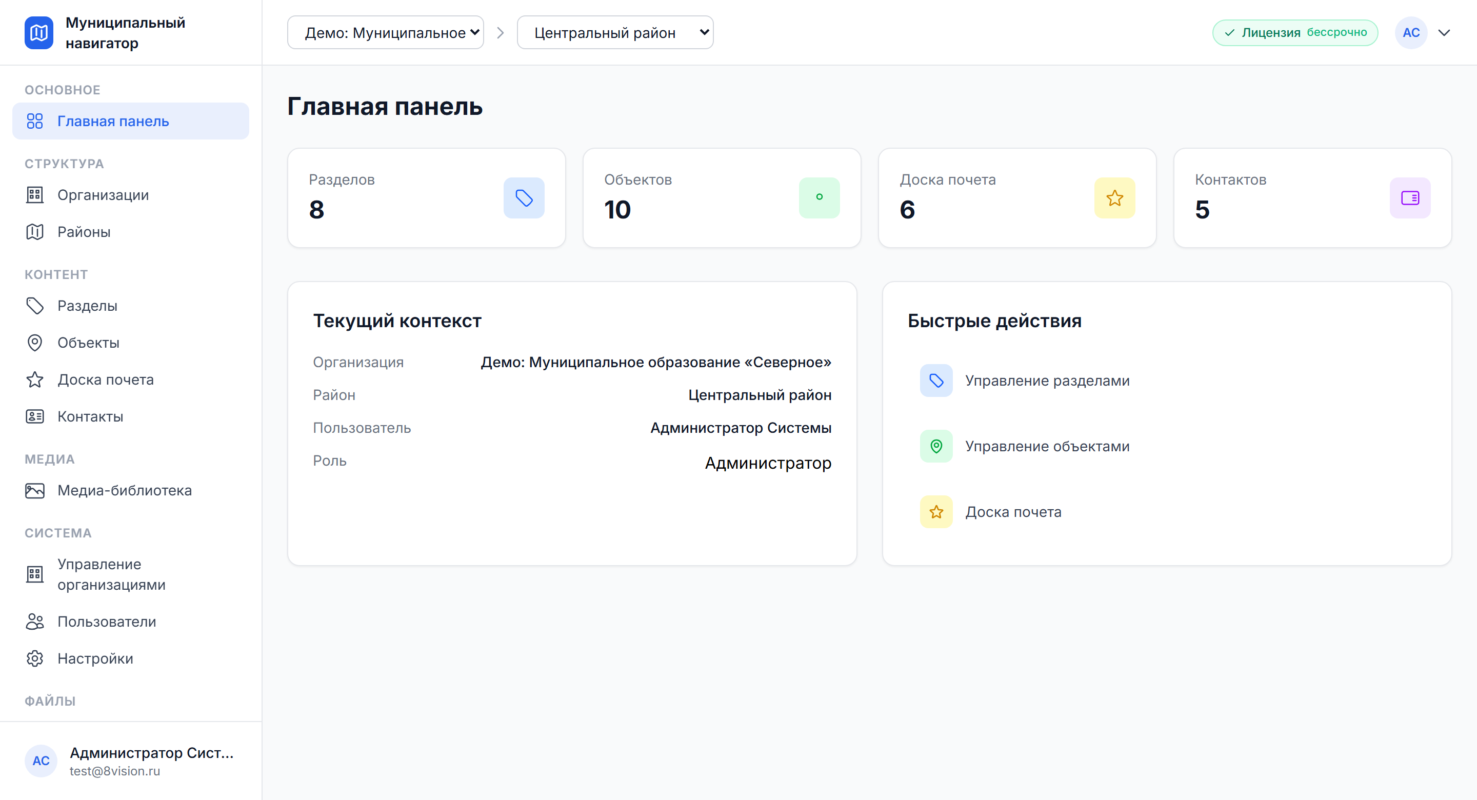
Main panel
KPIs for sections, objects, the roll of honour and contacts
-
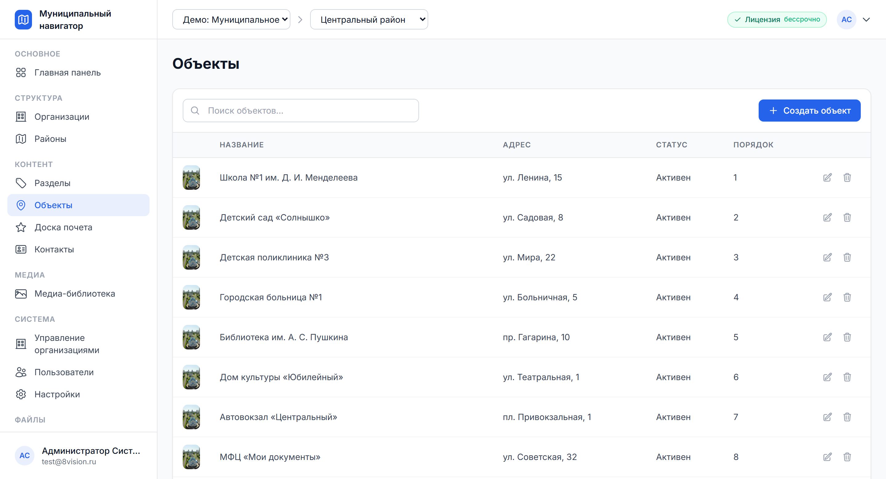
District objects
A list of objects with search, addresses and statuses
-
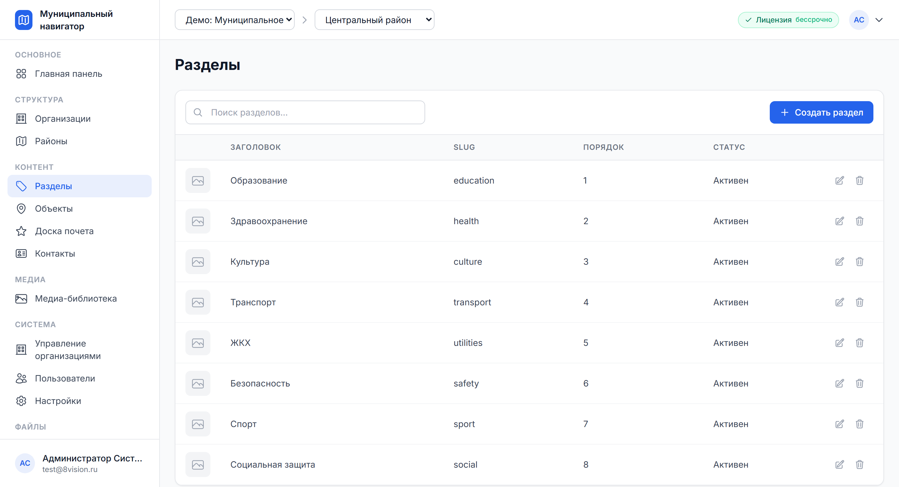
Sections
Categories with a colour, an icon and a slug
-
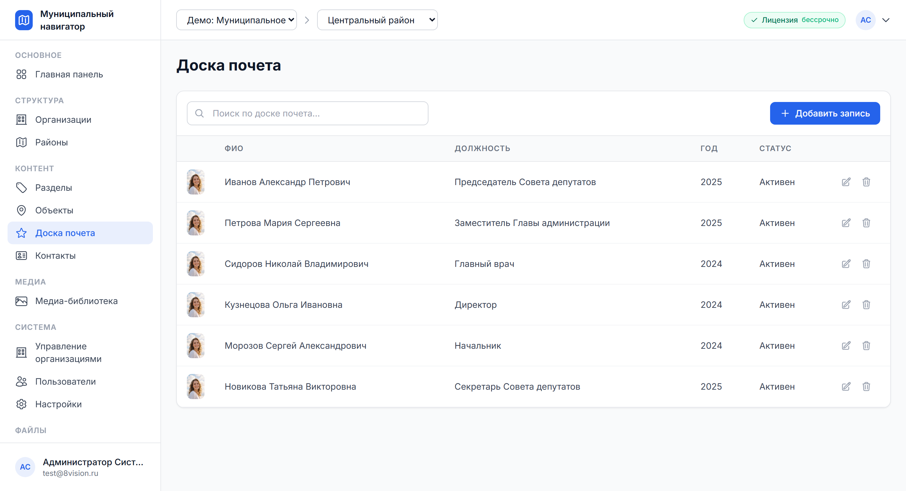
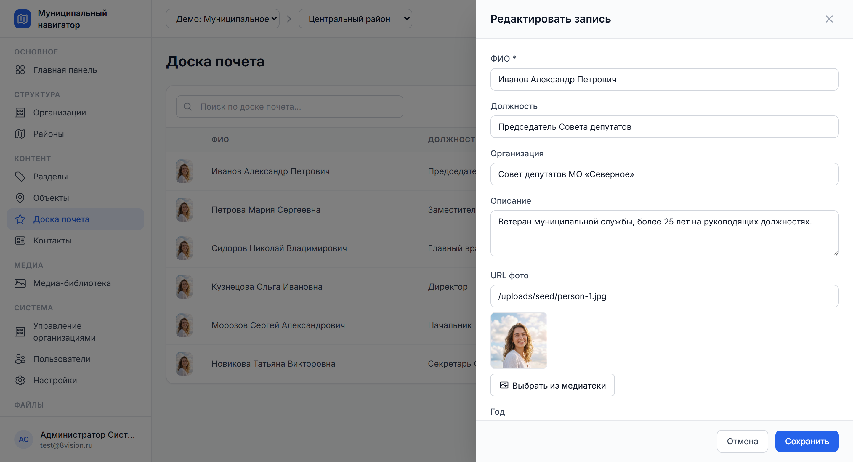
Roll of honour
Entries about distinguished residents of the district.
Map
A pixel map of the district right in the browser, with no third-party mapping services. A member of the administration sees where every object is. The visitor opens the map in the kiosk and gets the record of an object by tapping a marker.
-
Any map image
An aerial plan, a master plan, a tourist route map, a historical map
-
Placement by X/Y coordinates
Pixel precision: you place a marker by clicking the map in editing mode
-
Categories and icons
A marker inherits the colour of its section and its own thumbnail
-
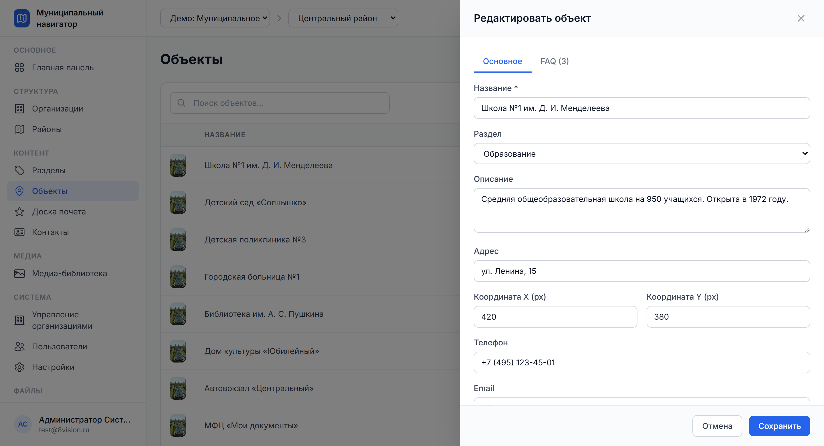
Object record
Description, address, contacts, opening hours, cover image, FAQ — all in a drawer card
-
Several districts in one organisation
Every district has its own map and its own content
-
A public API without authorisation
/api/public/ for the kiosk, the mobile client and the embeddable widget
-
Adapted for mobile devices
Touch navigation of the map out of the box
Content
We manage the content of the district from a single admin panel. A member of the administration works with sections, objects, FAQ, the roll of honour and contacts in one interface. Changes appear in the public client at once.
-
Sections and objects
Content categories and the institutions, organisations and points linked to them
-
FAQ under every object
Questions and answers for the visitor, with a controlled order and visibility
-
Roll of honour and contacts
The address book of the district and entries about distinguished residents with photographs
-
Media library
A tree of folders, drag and drop, isolation by organisation
Integrations
A link with outside systems and client applications. The platform serves content through a public REST API without authorisation, so that the same content can be used by the kiosk, the mobile client and the widget on the site. For non-standard integrations there is a REST API with full OpenAPI documentation.
Public API
-
/api/public/organizations
-
/api/public/districts/:id
-
/api/public/sections
-
/api/public/locations
-
/api/public/honor-board
-
/api/public/contacts
Consuming clients
-
Information kiosk (Angular SPA)
-
Mobile application for visitors
-
Embeddable widget on the site of the administration
-
Digital display in a public space
-
Screens in public services centres, libraries and culture centres
How it works in practice
-
Preparing the district map
You load an aerial plan or a scheme of the district into the media library, link it to the district and fix the size in pixels.
-
Setting up sections
You create content categories — education, healthcare, culture, sport, utilities — each with its own colour and icon.
-
Adding an object to the map
You create the record of an object with a description, an address and contacts, then place a marker by clicking the map; the coordinates are saved.
-
Filling in the FAQ and the roll of honour
You attach a list of frequent questions to every object and keep the roll of honour and the address book of the district alongside.
-
Publishing to the kiosk
The viewer client takes the content through the public API and shows the visitor an up-to-date map without recompiling.
What it solves
The system helps digitise how a district presents itself and lighten the load on the administration.
How the platform solves it
-
A single shop window for the district
Every object, contact and FAQ in one system instead of scattered files.
-
Content in one place
Descriptions, contacts, opening hours and FAQ in one record of an object.
-
Shorter queues
The visitor finds the answer on the map and in the FAQ instead of going to a member of staff.
-
Less work for the heads
An editor makes the changes in minutes, with no contractor and no rebuild of the site.
-
Transparency for residents
The roll of honour and the contacts are open, current and available for every district.
-
A channel to the kiosk and the site
The same content works in the kiosk, the widget and the mobile client.
The effect for the administration
Managing the content and the map of a district in one system — with no dependence on a contractor and no rebuild of the site.
-
The district map on the site
You load the image, place the markers by clicking and publish through the API.
-
An address book of institutions
Objects with a category, an address, a telephone and opening hours.
-
The roll of honour of the district
Records with a photograph, name, position, organisation and year of the award.
-
Contacts of the administration
Name, position, telephone, email, photograph.
-
FAQ for typical questions
Questions and answers attached to every object.
-
Several districts in one municipality
One instance serves several districts.
-
An information kiosk in a public services centre
The viewer client runs in full-screen mode.
-
Access rights for staff
The admin manages the structure, the editor manages the content.
Who it is for
The solution suits a wide range of municipal institutions and visitor points, whatever the size of the territory.
-
Administrations of rural settlements
The district map and the address book of institutions on the site of the administration
-
Urban districts and municipal districts
Several districts in one system, a single shop window for residents
-
Public services centres
An information kiosk with a map and FAQ for visitors to serve themselves
-
Local history centres and parks
A map of the territory with points of interest and historical sites
-
Tourist information centres
Tourist routes on a pixel map of the territory.
-
Cultural and educational institutions
A plan of the complex with objects placed on it and FAQ for visitors.
Security
Installed in the infrastructure of the administration — the data never leaves the perimeter of the client. Deployment on the servers of the municipality, isolation by organisation, compliance with federal law 152-FZ on personal data.
The perimeter of the client
-
Deployment
On-premises on the servers of the municipality, Linux and Docker Compose.
-
Requirements
from 2 vCPU and 4 GB of memory; a cloud subscription as an alternative.
-
Backups
automatic copying of the database.
-
Personal data
152-FZ, storage in Russia.
-
Roles
admin and editor, isolation by organisation.
-
Access
JWT authentication, bcrypt password hashes, a limit on the rate of sign-in attempts.
-
Exporting backups
To external storage of the client: S3, NAS or FTP.
Pricing
The cost is calculated for the municipality — there is no universal price. It depends on the size of the territory, the number of objects and the list of modules.
What the cost depends on
-
The size of the territory
The number of districts served by one instance.
-
The number of objects on the map
Institutions, organisations, points of interest.
-
The number of staff users
Administrators of the structure and content editors.
-
The list of modules needed
Map, sections, FAQ, roll of honour, address book.
-
Connecting a kiosk or a widget
The viewer client, the embeddable widget, a display.
-
Training and support
Launch, staff training, support.
-
Licensing options
On-premises as a one-off, or a monthly cloud subscription.
Three steps to a quote
-
Fill in the questionnaire
Tell us about the territory, the objects and the infrastructure.
-
Get the quote
Within three working days by email, broken down by module.
-
A demo and a pilot
We will show the system live and discuss a rollout plan.
Documentation
User guide — for the administrator, the editor, the head of the district and the staff of a public services centre.
-
User guide
PDF, about twenty-eight pages: organisations, districts, the pixel map, sections, objects, FAQ, roll of honour, contacts, media library, users, the public API.
Projects
-
 Touch sphere and videos for the Shvabe tent at the “Engineers of the Future — 2026” forum
/2026 — Events
Touch sphere and videos for the Shvabe tent at the “Engineers of the Future — 2026” forum
/2026 — Events
-
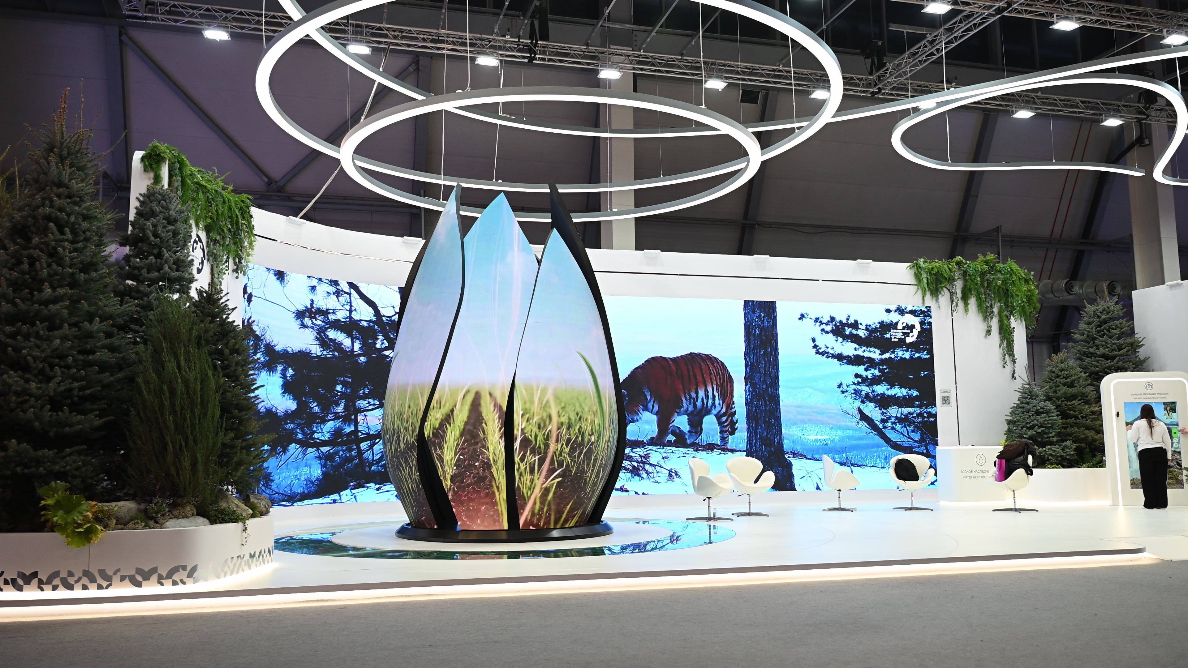 Multimedia for the Ministry of Agriculture of Russia’s “Source of Life” exhibition at the International Youth Festival 2026
/2026 — Exhibitions
Multimedia for the Ministry of Agriculture of Russia’s “Source of Life” exhibition at the International Youth Festival 2026
/2026 — Exhibitions
-
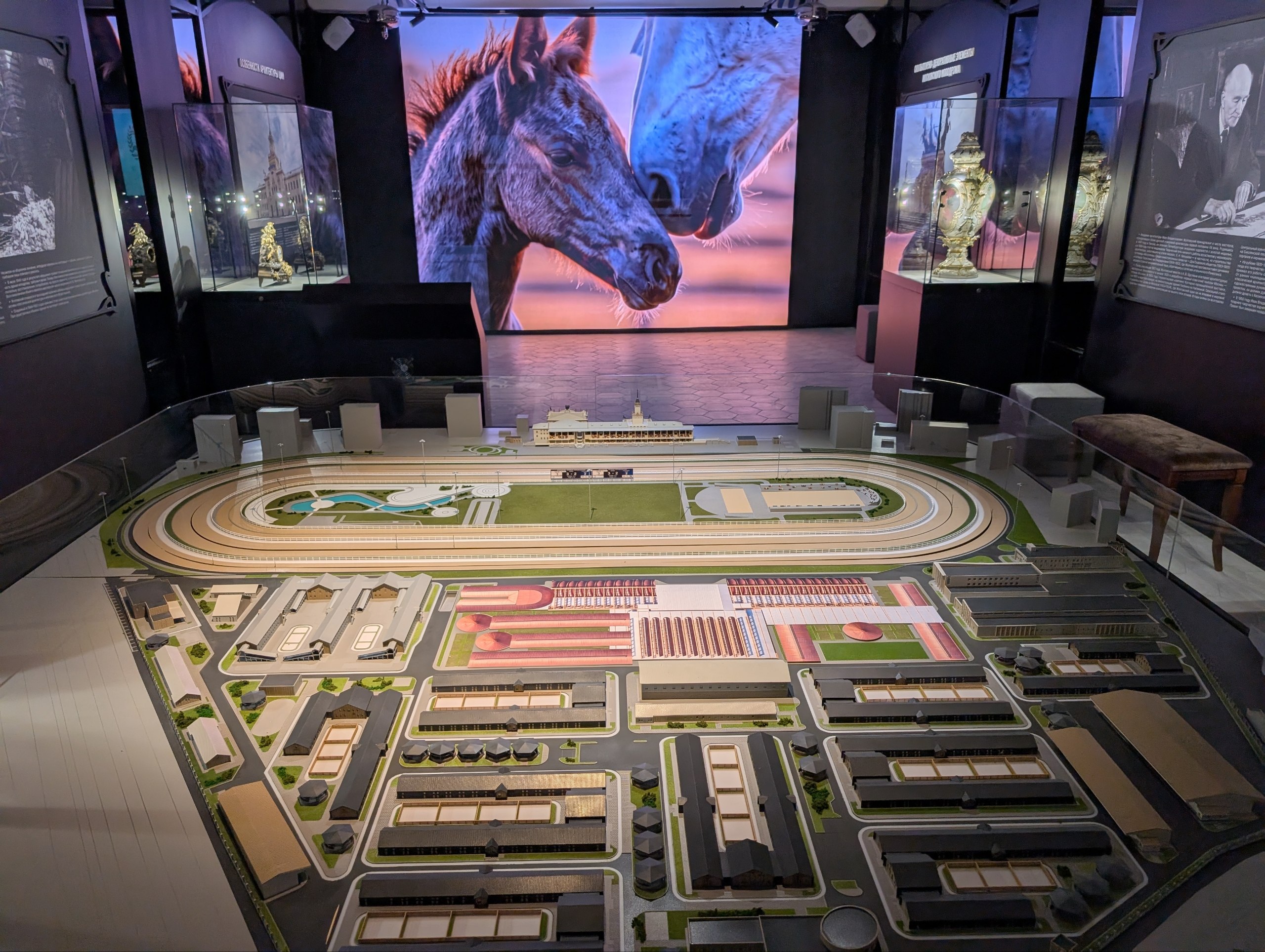 Interactive installations for the museum of the Central Moscow Hippodrome
/2026 — Museums
Interactive installations for the museum of the Central Moscow Hippodrome
/2026 — Museums
-
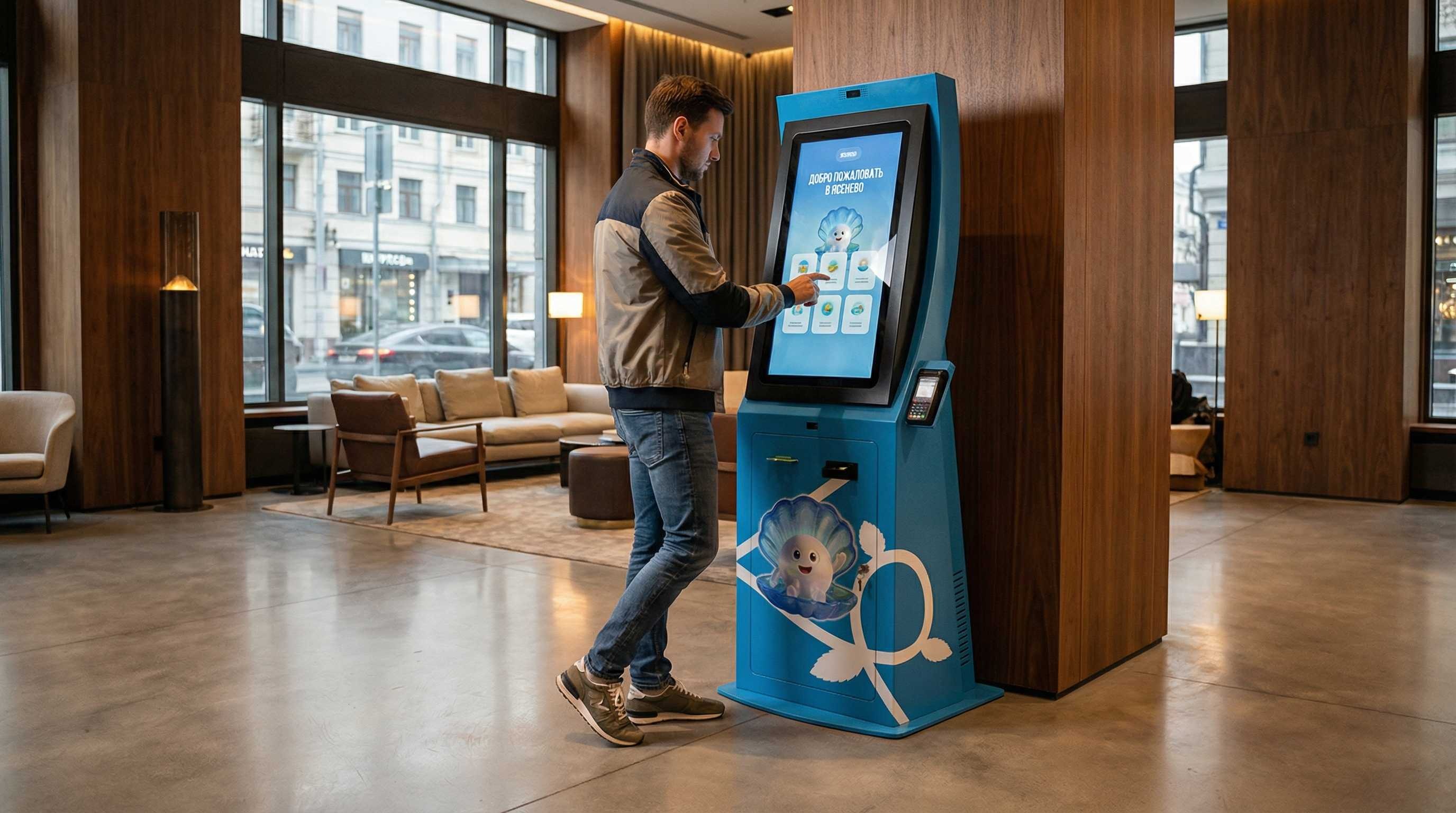 Information terminal for the Yasenevo district
/2026 — Digital
Information terminal for the Yasenevo district
/2026 — Digital
-
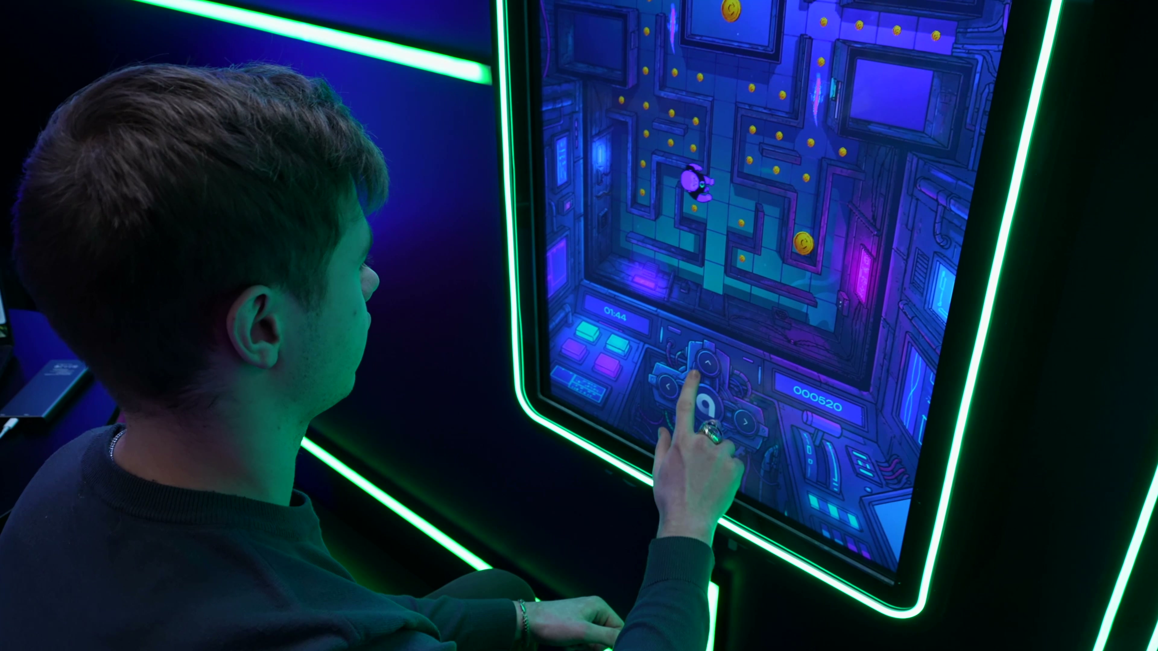 Interactive applications for the Academy of Innovators stand at StudFest 2026
/2026 — Events
Interactive applications for the Academy of Innovators stand at StudFest 2026
/2026 — Events
-
 Animated presentation on climate and agriculture for Roshydromet
/2026 — Exhibitions
Animated presentation on climate and agriculture for Roshydromet
/2026 — Exhibitions
-
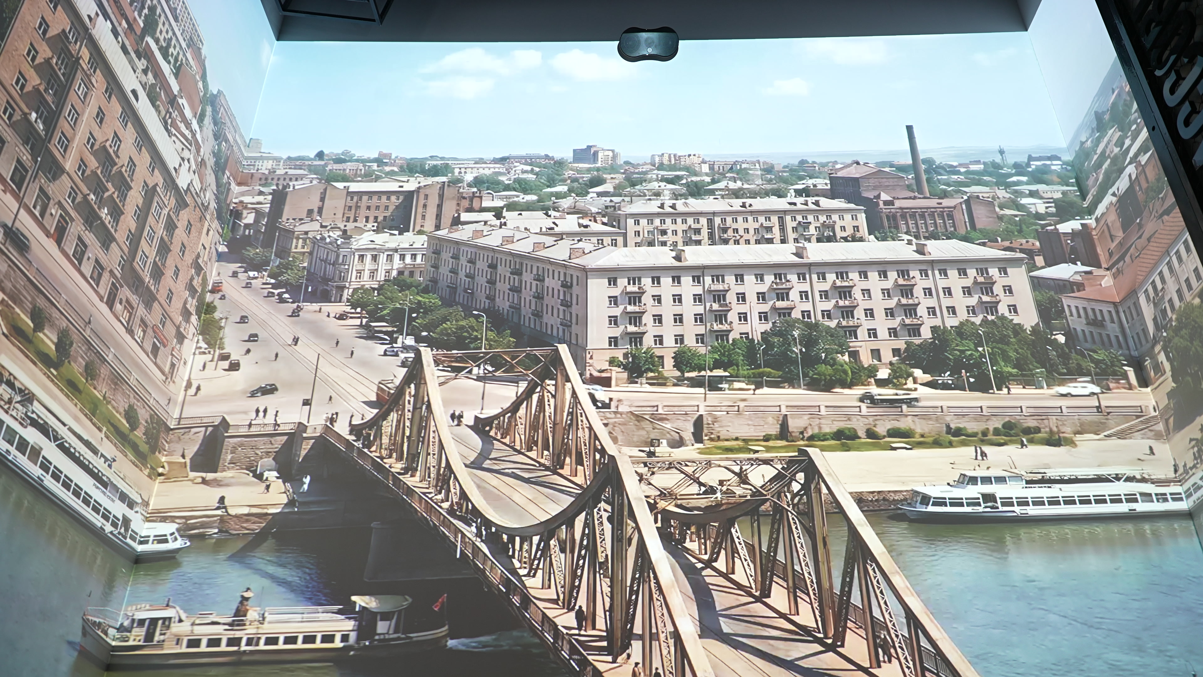 Multimedia installations for the Museum of Memory
/2026 — Museums
Multimedia installations for the Museum of Memory
/2026 — Museums
-
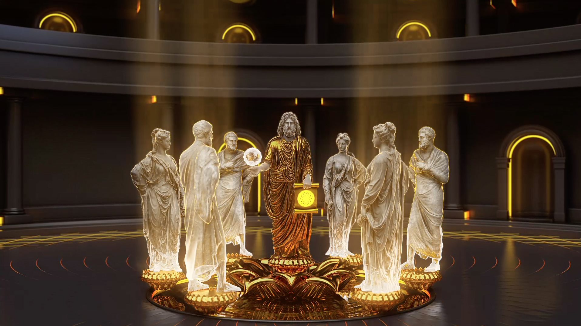 Promo film for the Vitaly Brinkmann School
/2021 — Digital
Promo film for the Vitaly Brinkmann School
/2021 — Digital