Museums · 2025
Murmansk Regional Museum
Museums / Murmansk Regional Museum
About the project
Software for 56 multimedia installations at the renovated Murmansk Regional Museum: touch screens, projections, VR stations, a ship’s wheelhouse and Morse code in 13 of its 14 halls.
On 17 March 2025, after a reconstruction that began in 2019, the Murmansk Regional Museum reopened in its 1937 building on Lenin Avenue. The new exhibition, set out in 14 halls over three floors, runs from the archaeology, geology and nature of the Kola Peninsula through the Sami and the Pomors, the development of the North and the Arctic, the Great Patriotic War and the post-war years to the region’s economy today.
The exhibition itself — the sets, showcases and artistic design — was created by another company. We made the software for 56 multimedia installations in 13 halls: touch screens and touch tables, interactive projections, screens on rails along the showcases, VR stations and interactives with physical controls — buttons, a ship’s wheel, a telegraph key and cards.
Year
2025
Industry
Museums
Scope of work
56 multimedia installations in 13 halls
Venue
Murmansk Regional Museum, Murmansk
- 56
- multimedia installations
- 13 of 14
- halls with our installations
- 17.03.2025
- museum reopens after reconstruction
The task
The technical specification breaks the exhibition down into display units, and almost every unit has its own hardware and software system: a screen, a projection or a sensor, and its own scenario. In some places the visitor reads a label on a screen, in others controls a projection, in others plays a game. For each system we had to build an application with materials on the unit’s topic, install it on site and make the museum’s revisions.
What we did
Archaeology
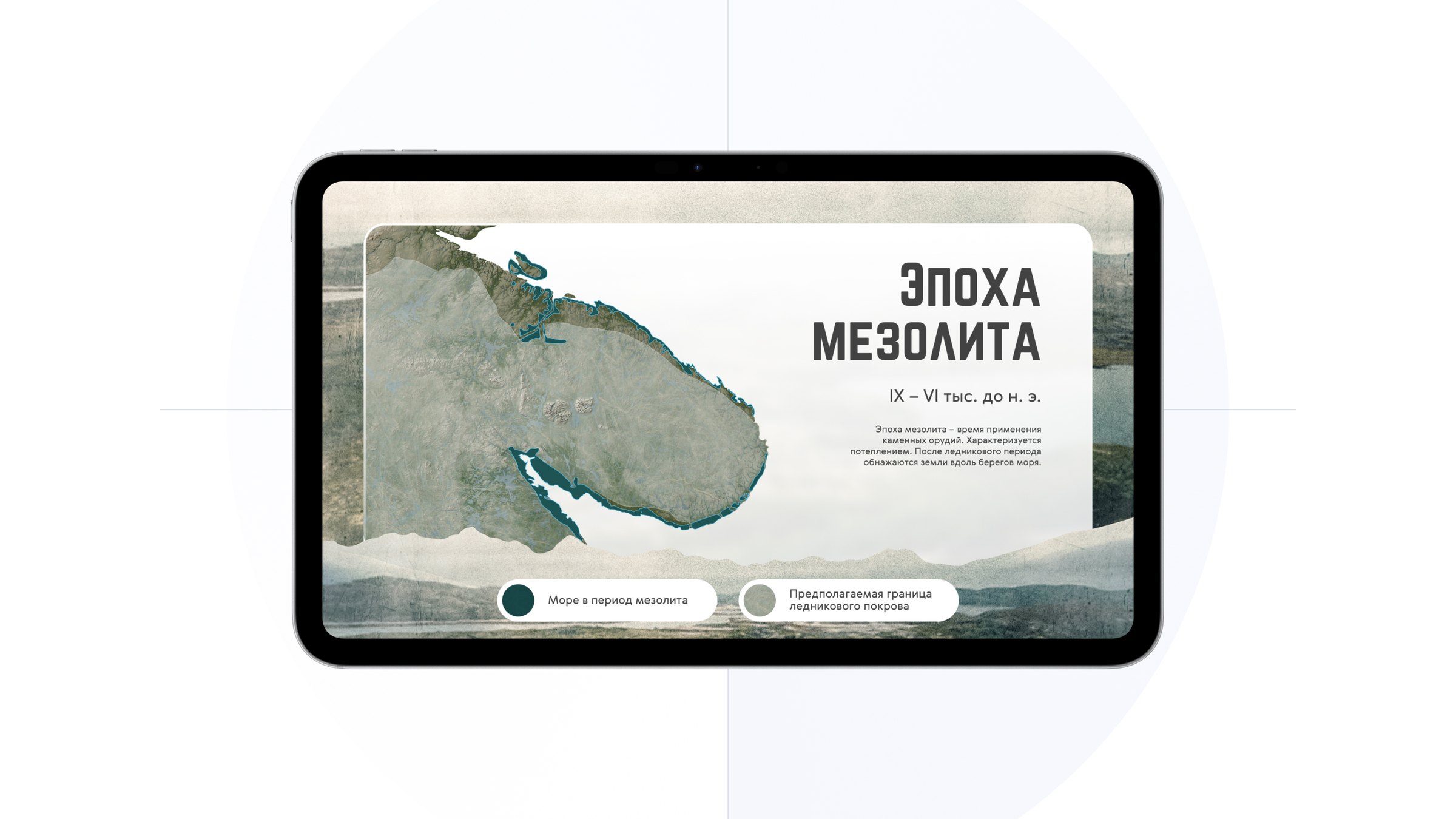
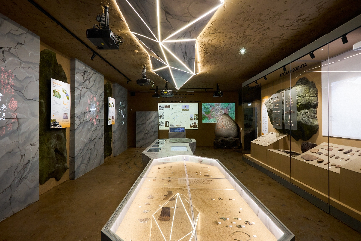
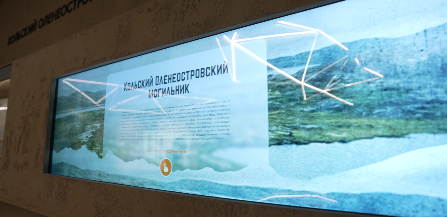
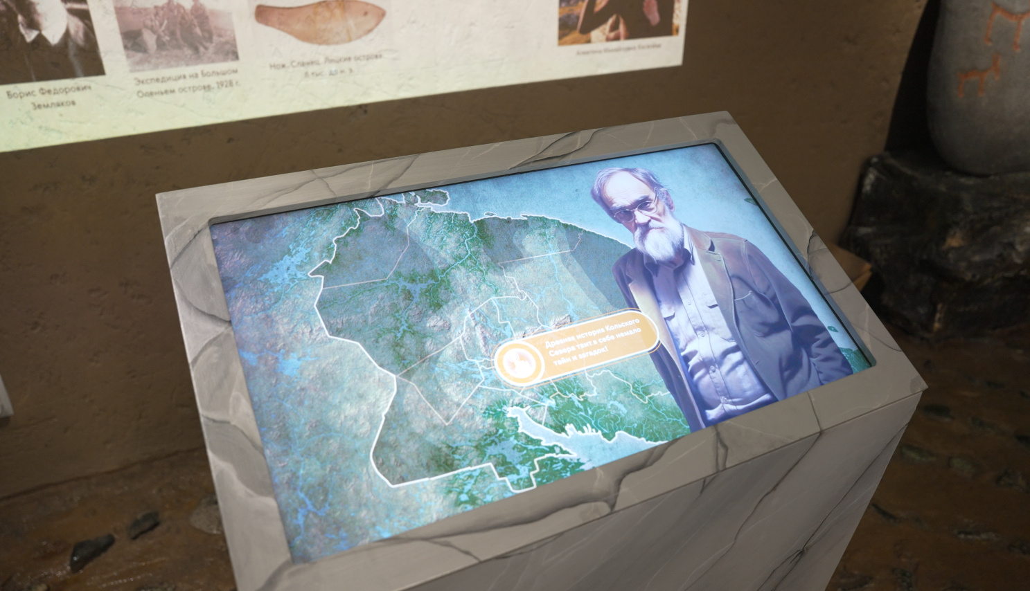
A projected map of archaeological sites and the history of their study, controlled from a touch table beside it. The wide touch screen “Kola Oleneostrovsky burial ground”. The showcase “The Mesolithic, Neolithic and Bronze Age” with a projection onto matte film: the visitor touches the outline of an object, and a story about the era begins.
Geology
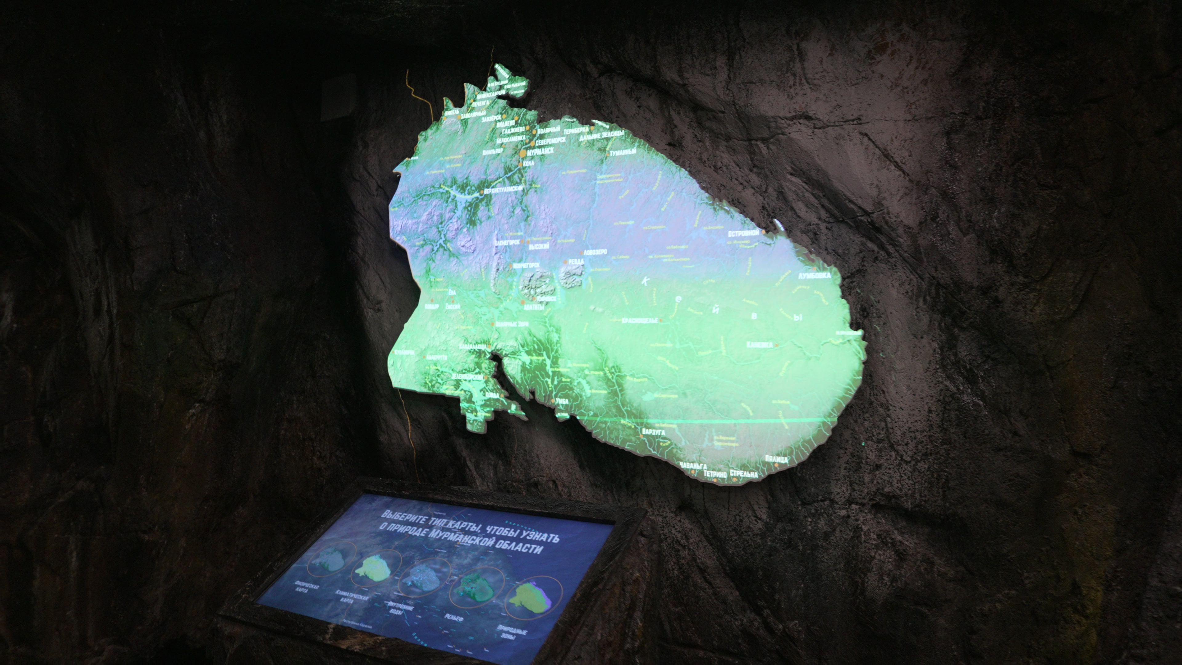
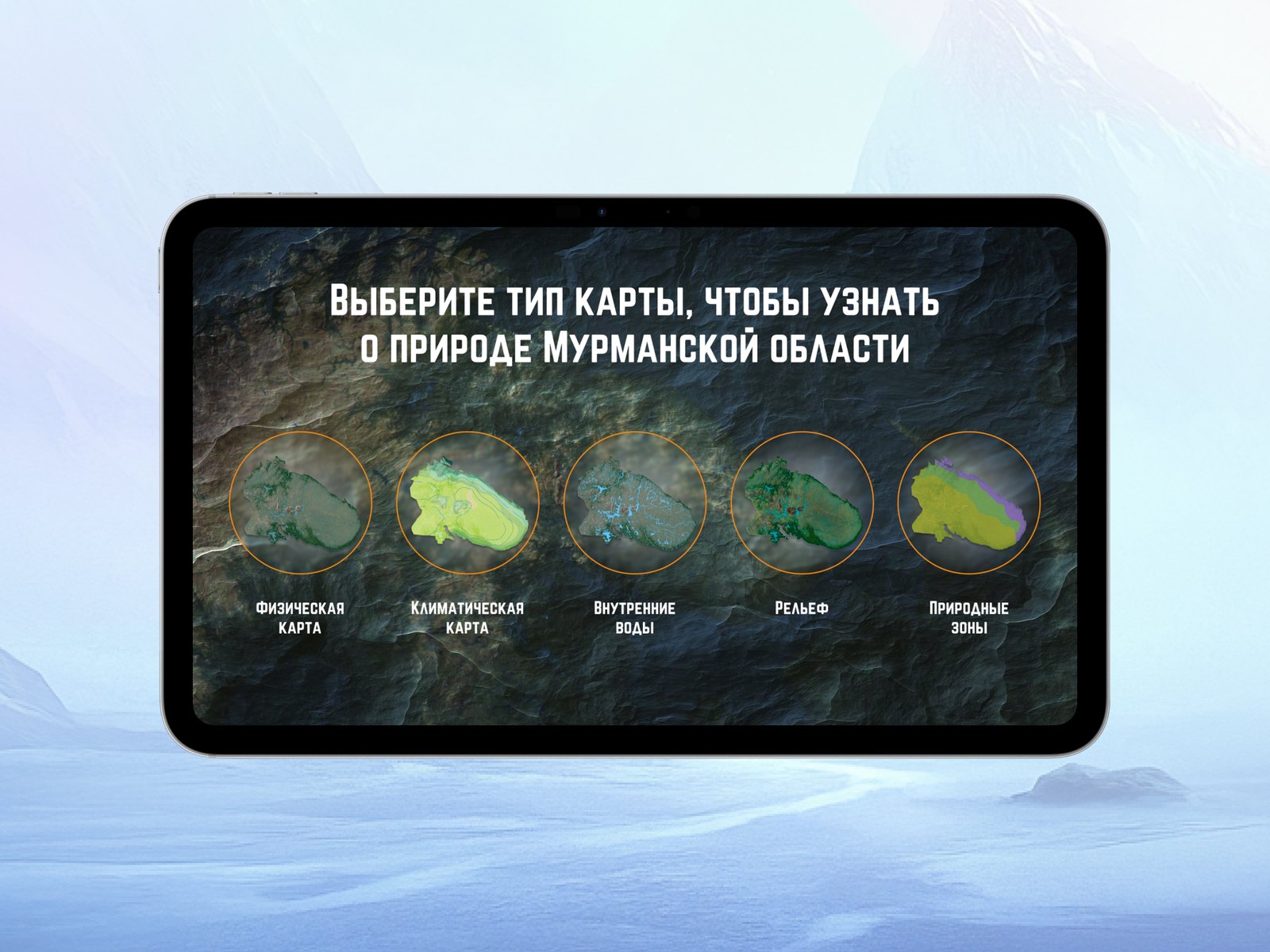
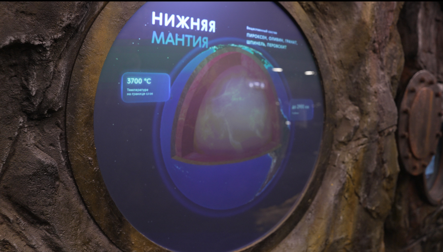
A projection onto a relief map of the Kola Peninsula set in a “rock”: on a touch screen the visitor chooses one of five maps — physical, climatic, inland waters, relief or natural zones. “The Earth’s inner structure” is a round projection onto fabric in a “porthole”: a Kinect Azure sensor responds to how deeply the fabric is pressed, and the projection shows the layers of the Earth with their depths and temperatures.
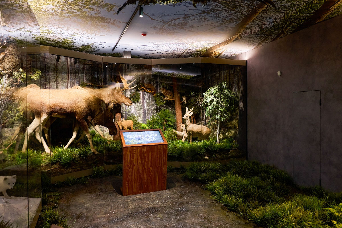
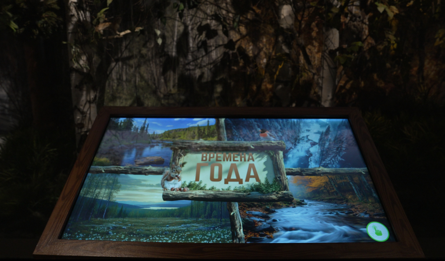
Taiga
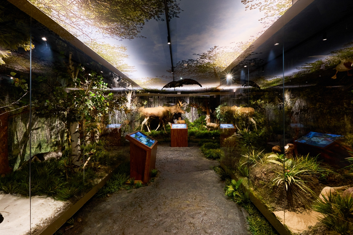
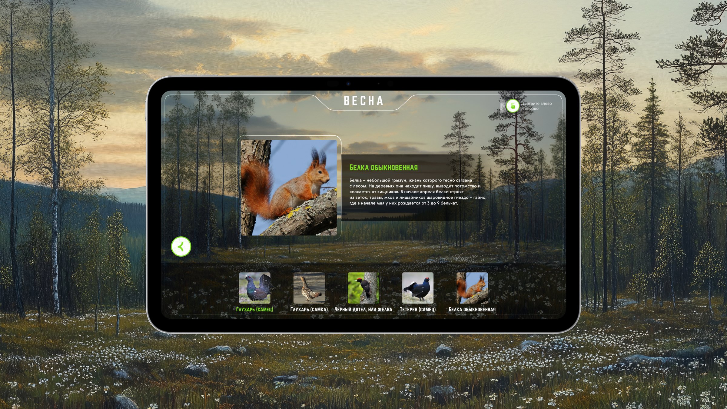
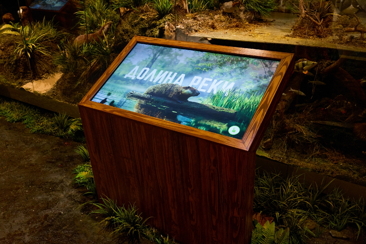
Touch tables by the dioramas — “Seasons”, “Elk” (“Sparse taiga”) and “River valley”. Three VR stations, “See through the eyes of…”, show the world through the eyes of an eagle, a wolf and a fish.
Tundra
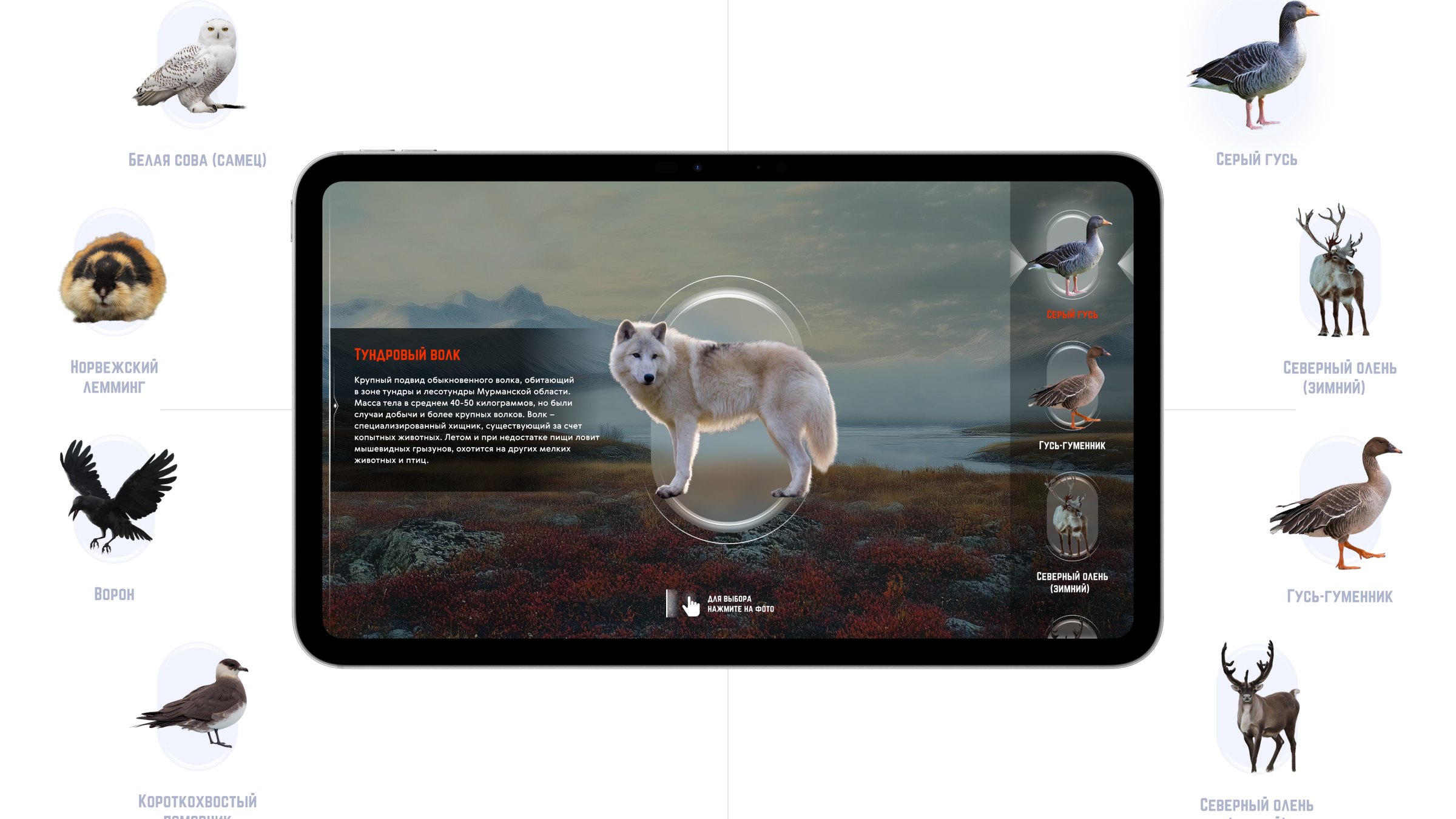
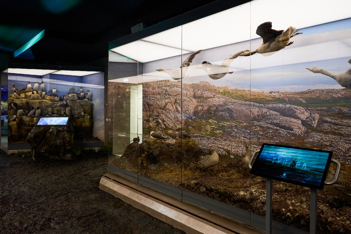
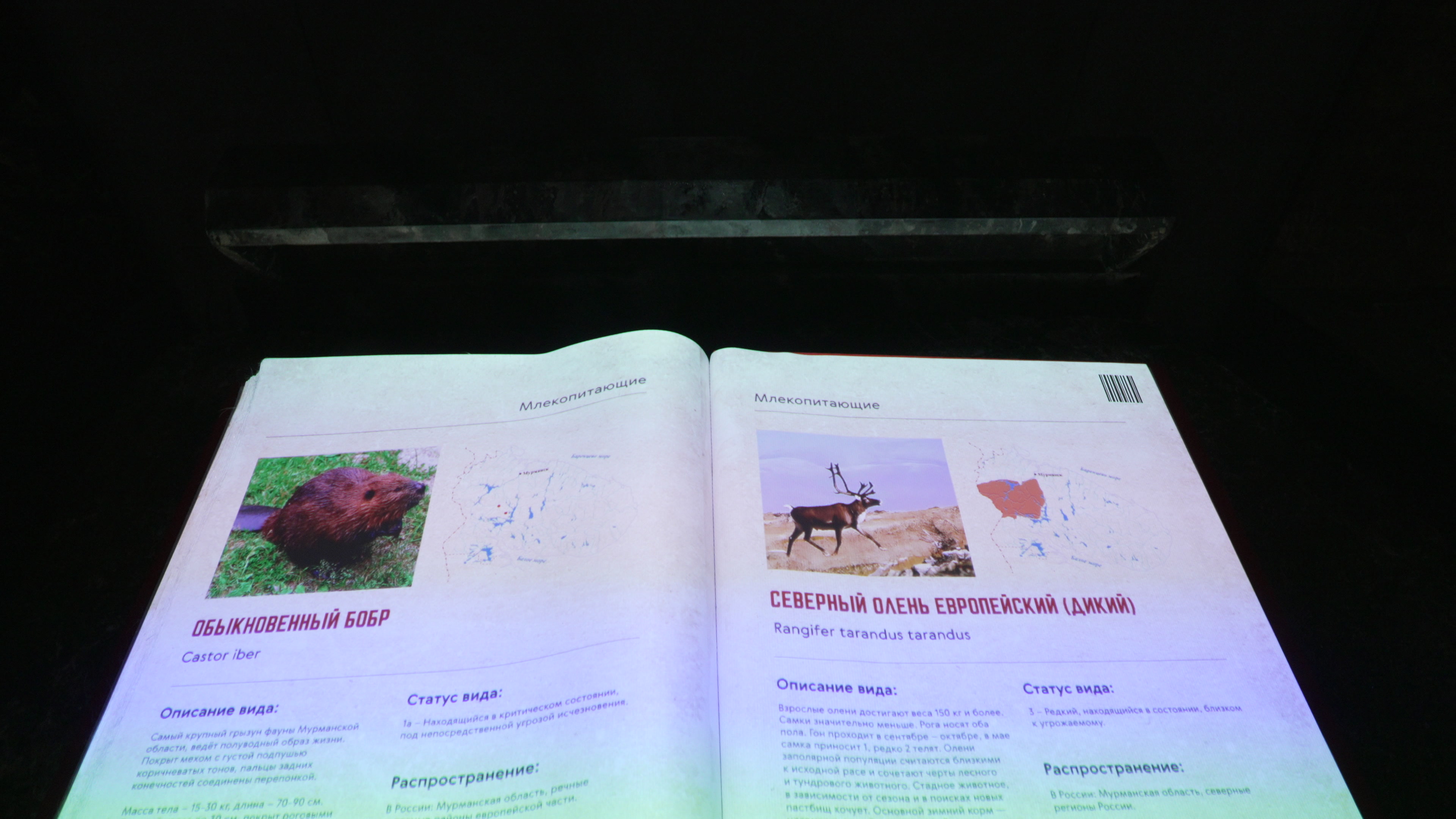
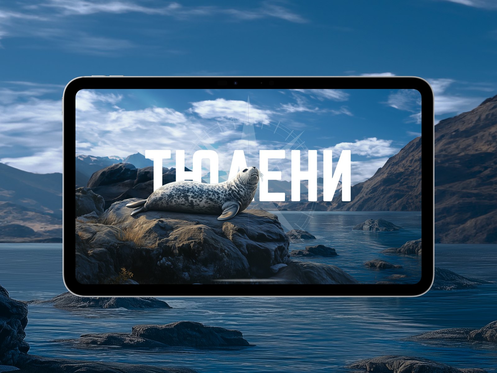
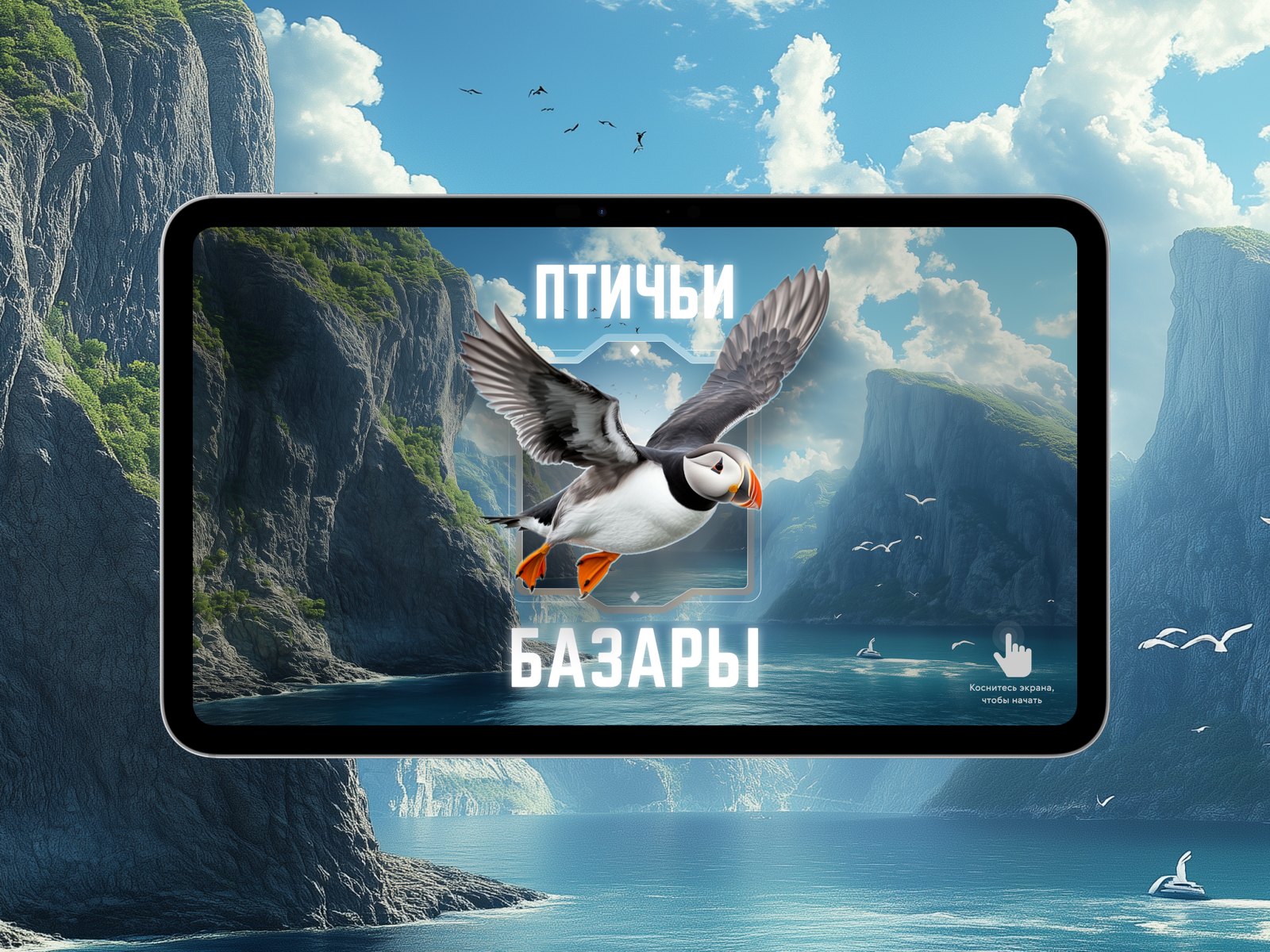
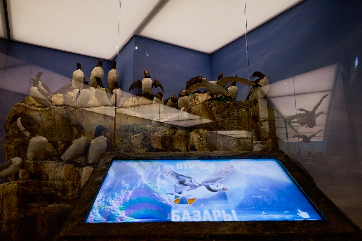
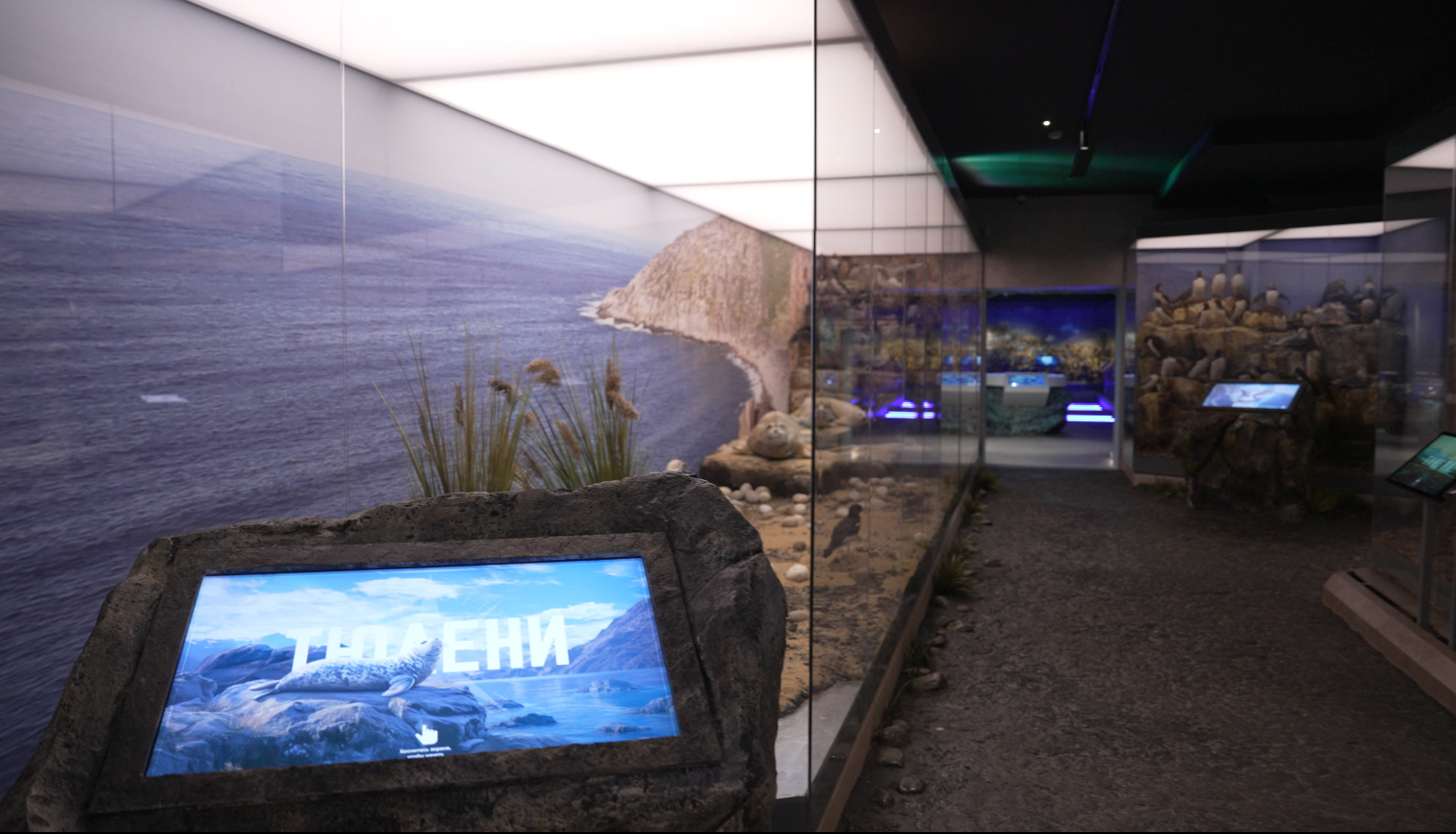
Three touch-screen “scanners” travel along a rail beside a long tundra showcase. “The Red Book” is a projection of a book whose pages are turned with gestures. “Bird colony” and “Seals” are touch tables by the dioramas.
Seas
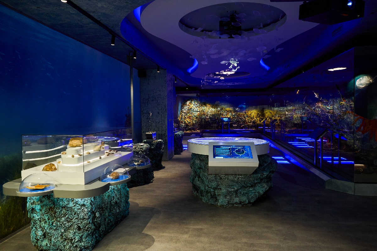
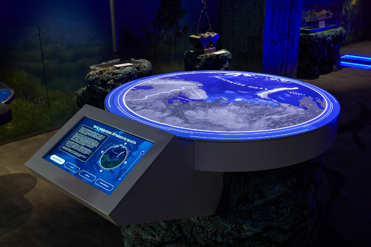
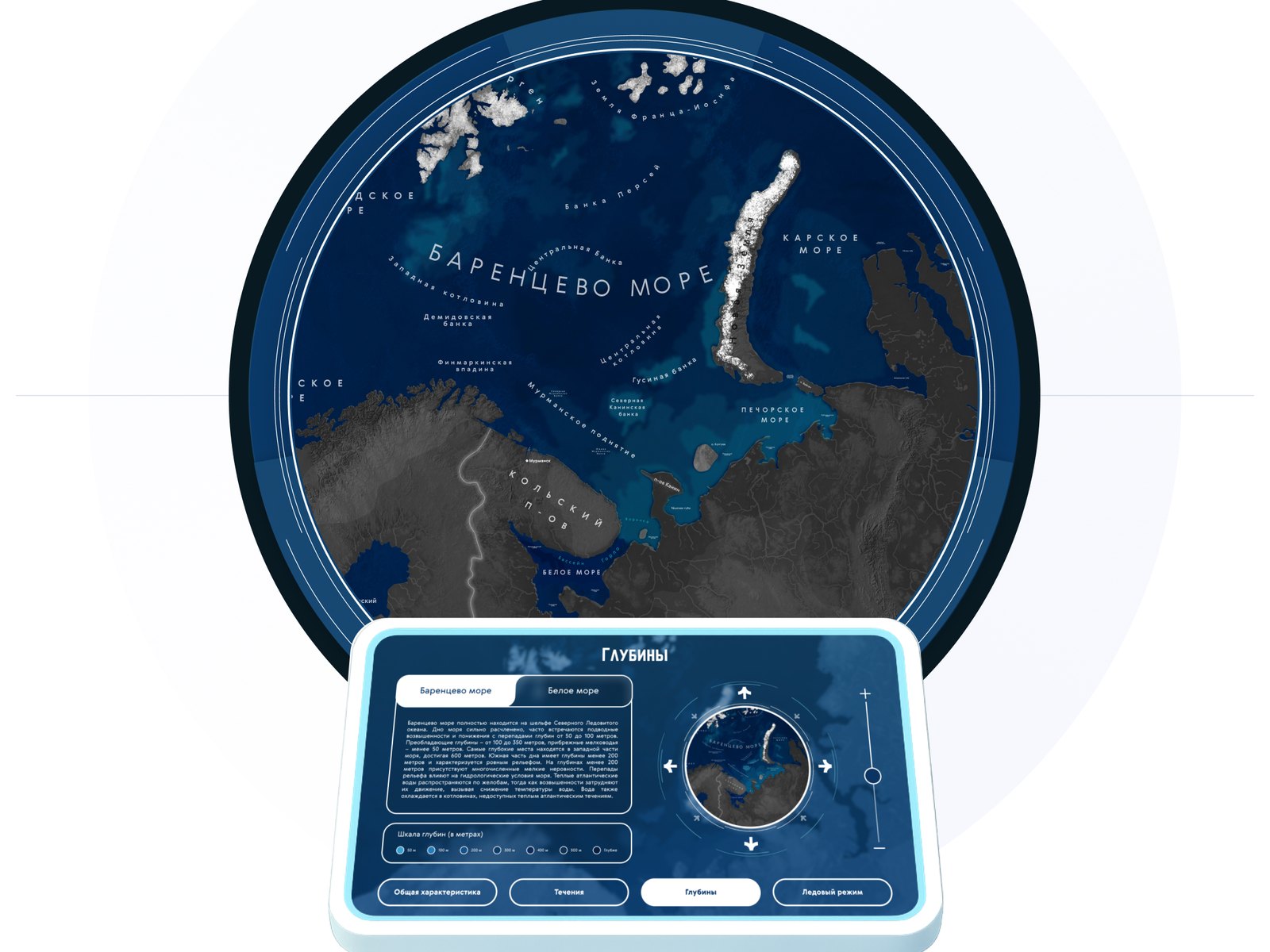
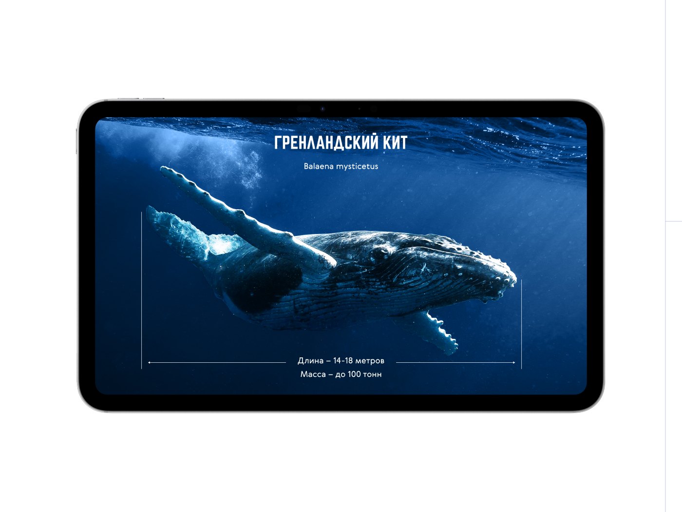
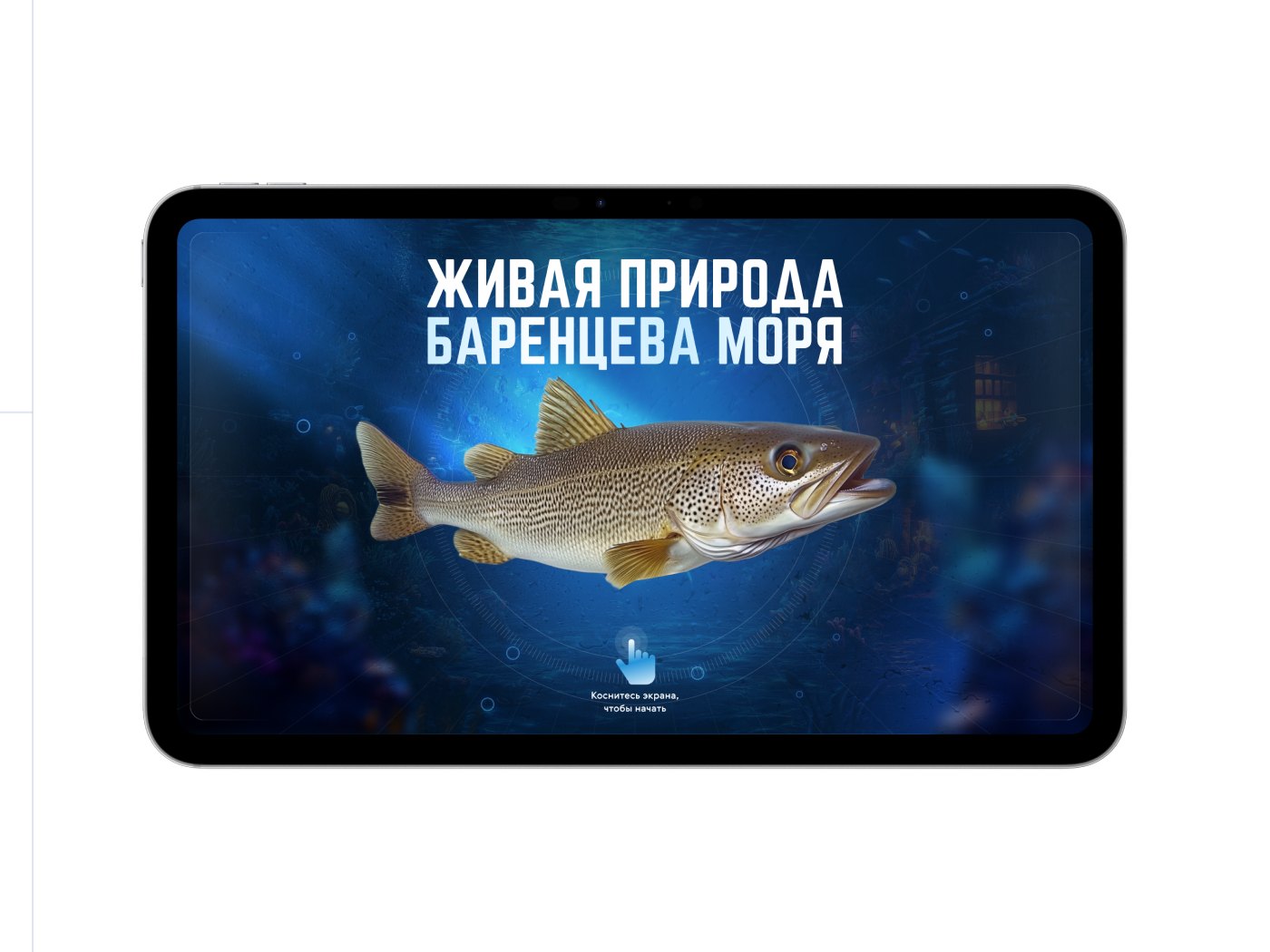
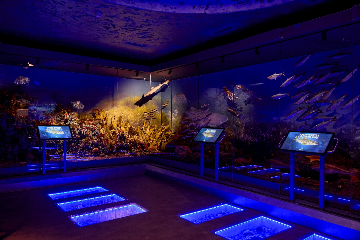
“Map of the seas” is a projection from the ceiling onto a round table, controlled from touch panels at the table. “Whale corner” is a projection on the wall with a console of 14 buttons, one per species, from the bowhead whale to the sperm whale. “Look into the depths of the seas” is three VR stations in diving helmets. “Wildlife of the Barents Sea” is four touch screens on rails along a diorama of the seabed: each screen repeats in graphics what is behind the glass, and a touch opens a story about the creature.
The Sami
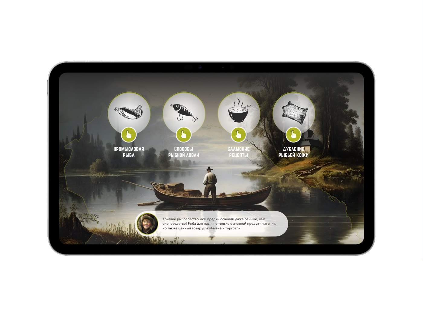
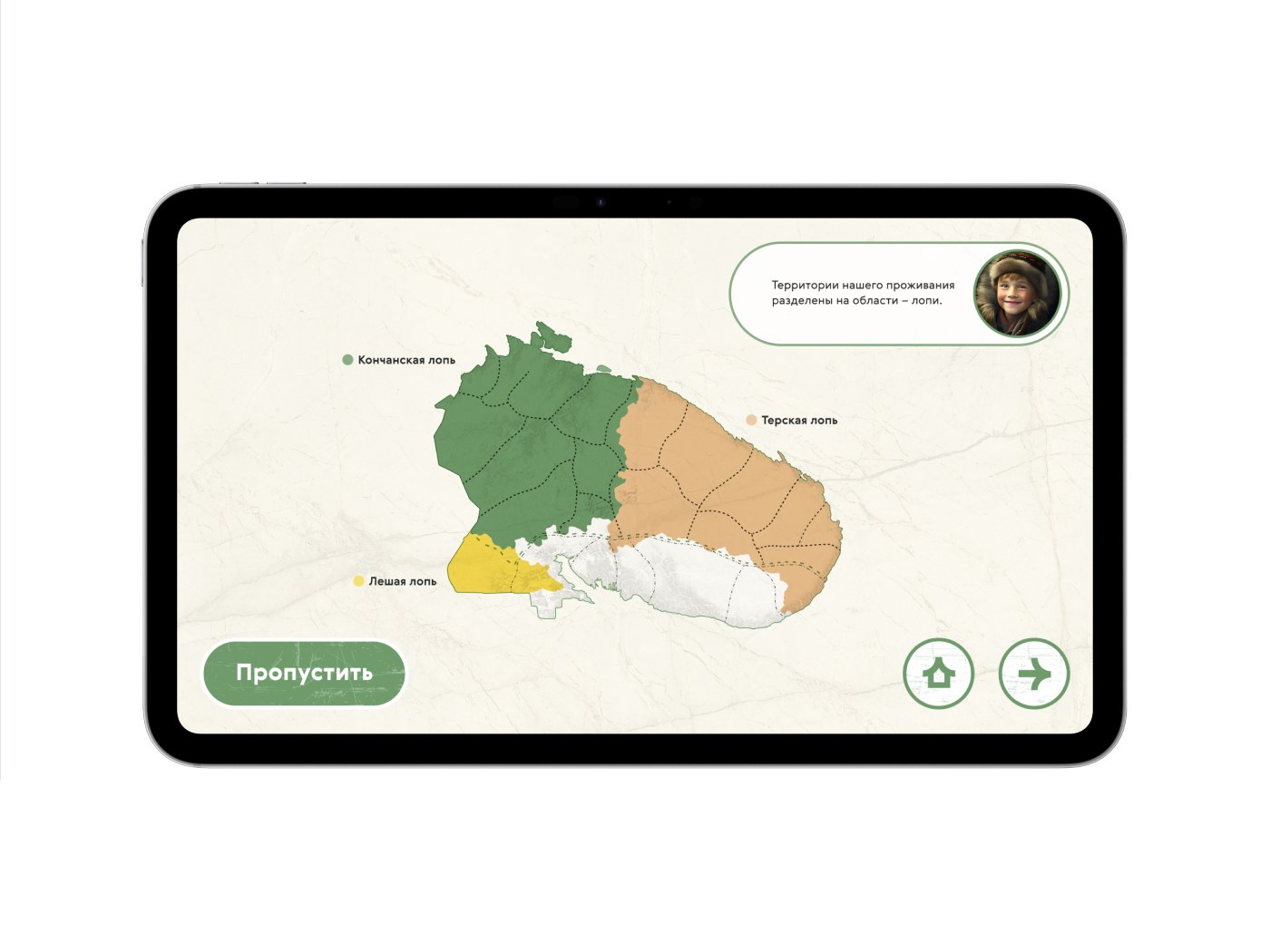
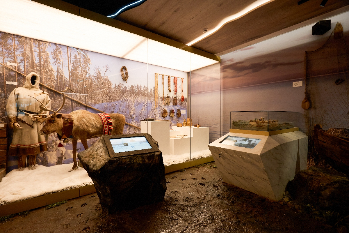
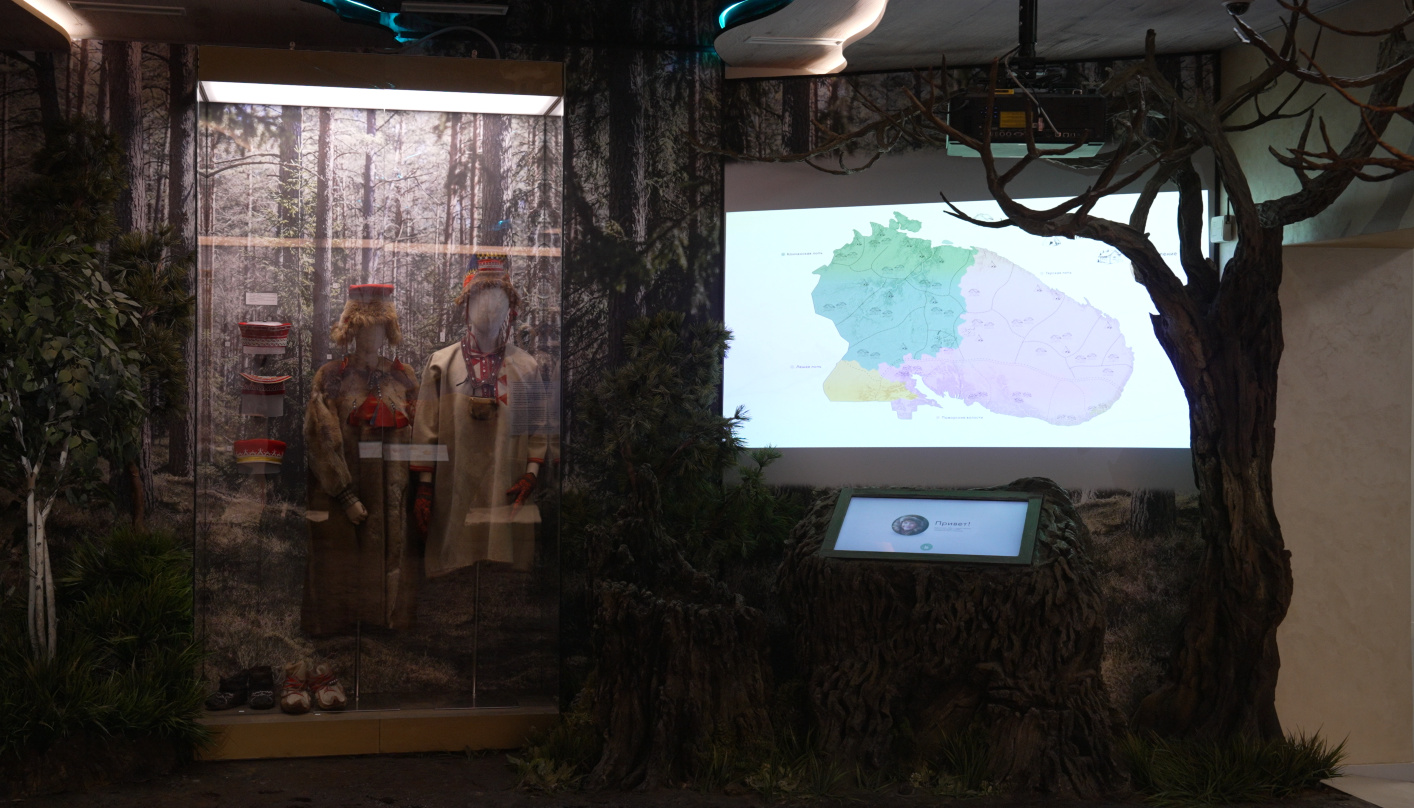
A projected map of Sami settlements — winter and summer pogosts, Russian villages — with a touch console; the touch screens “Fishing”, “Reindeer herding” and “Religion, transport, hunting and gathering” set in “stones” by the showcases.
The Pomors
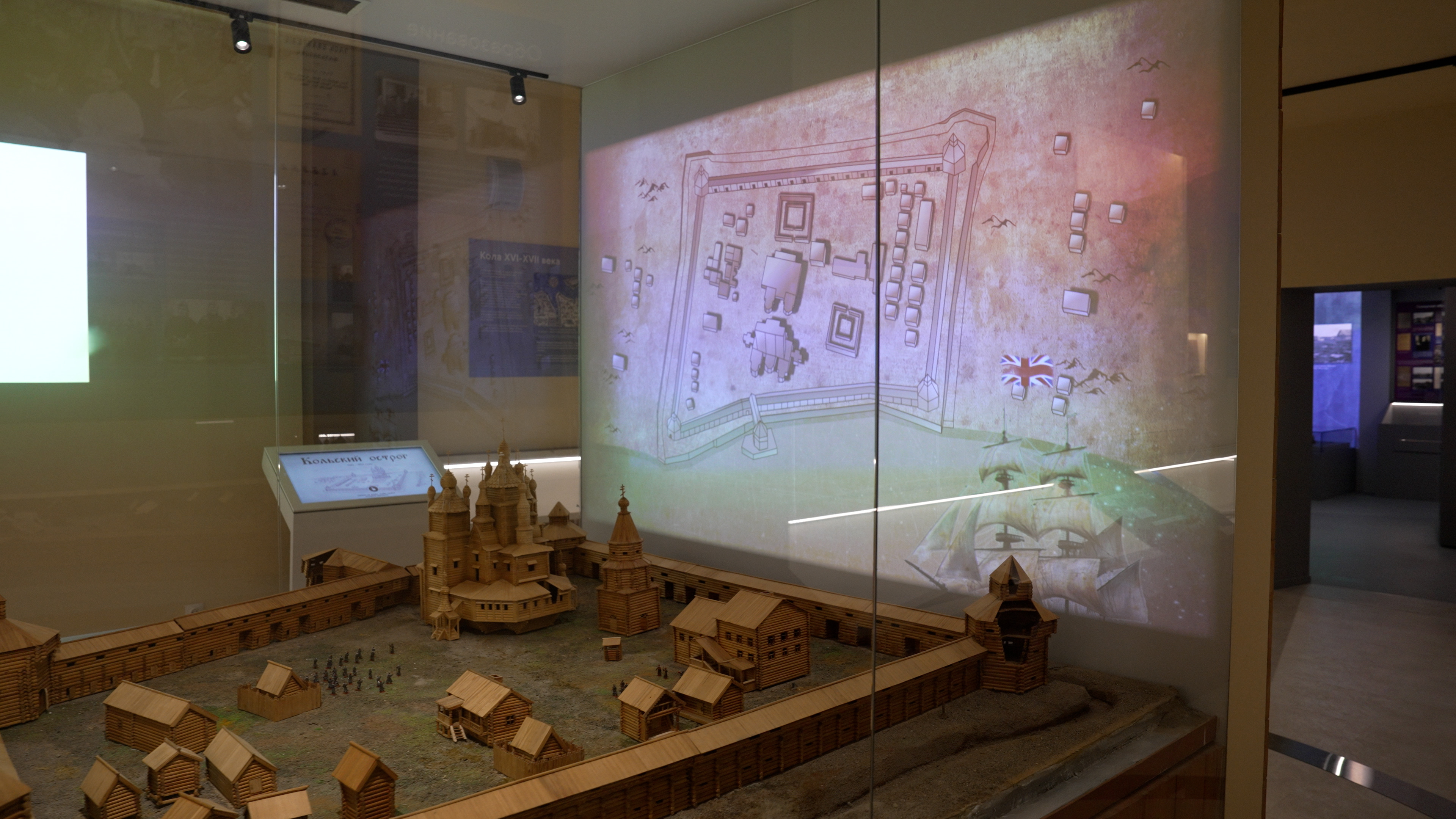
“Kola Fortress”: two projectors display graphics and animation on a model of the fortress and on the wall behind it; the show is started with a button.
Development of the North, 1920s–1930s
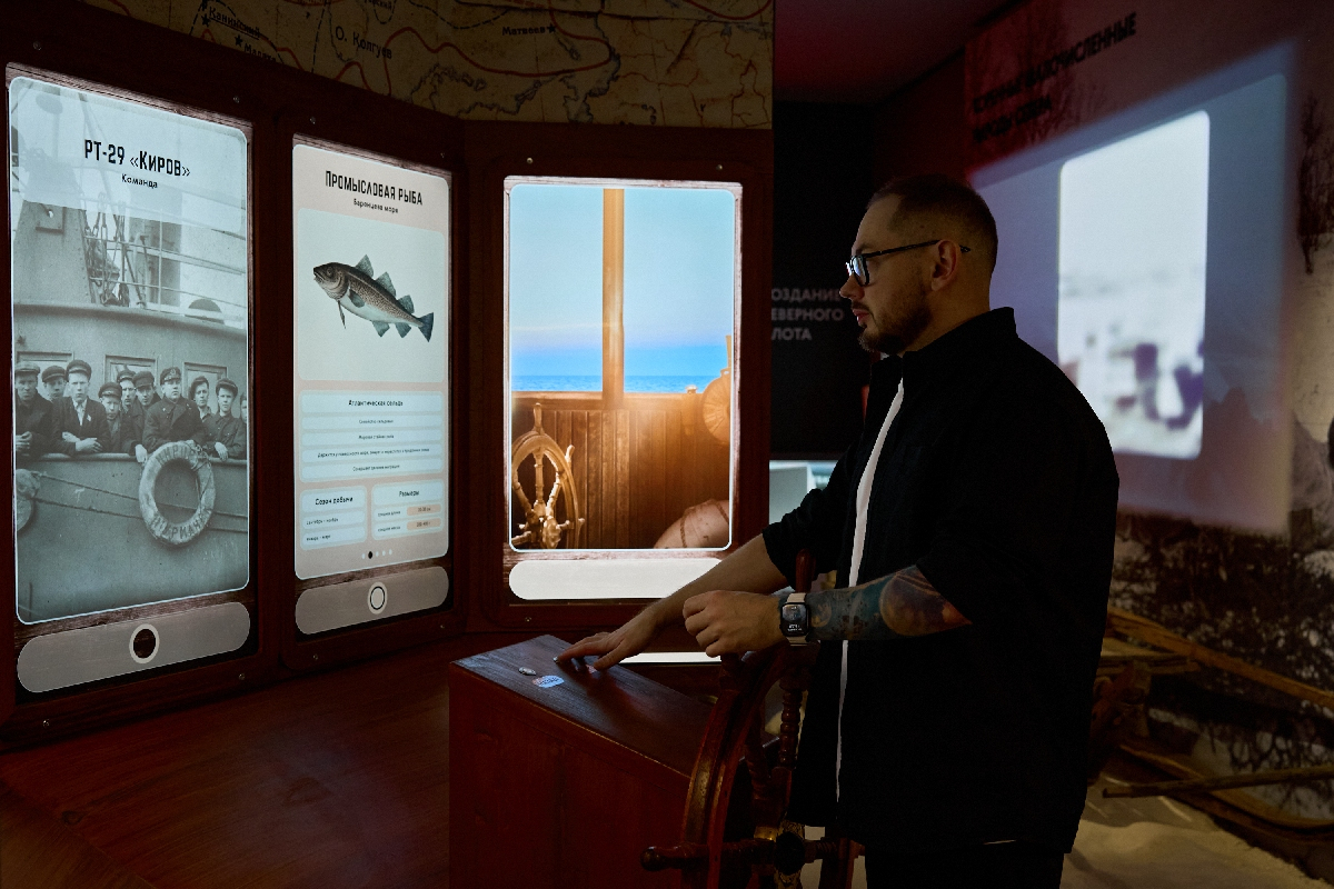
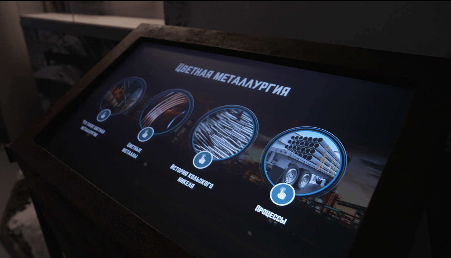
An interactive timeline projection of the 1920s–1930s. A full-size “Wheelhouse” of the fishing trawler RT-29 “Kirov”: four screens in place of the wheelhouse windows, a ship’s wheel and buttons; the screens show the sea, the ship’s crew and the commercial fish of the Barents Sea. “Mining industry” is a projection with an interactive video about pouring nickel matte, together with the touch screen “Non-ferrous metallurgy” by a showcase. The touch screens “Murmansk District within the Leningrad Region”, “The beginning of the development of the North”, “The fishing industry and the railway” and “Rebuilding the armed forces”.
Development of the Arctic
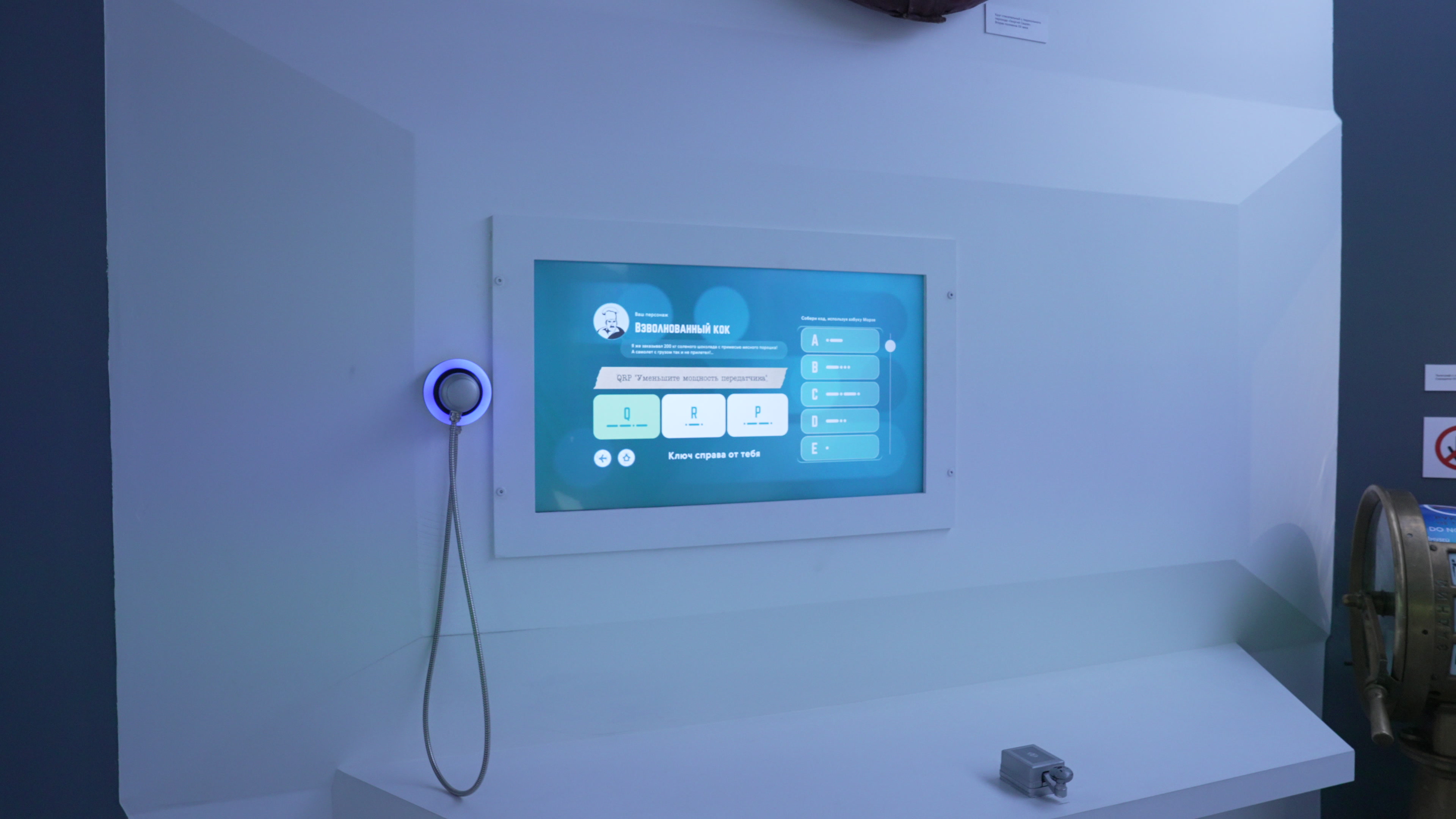
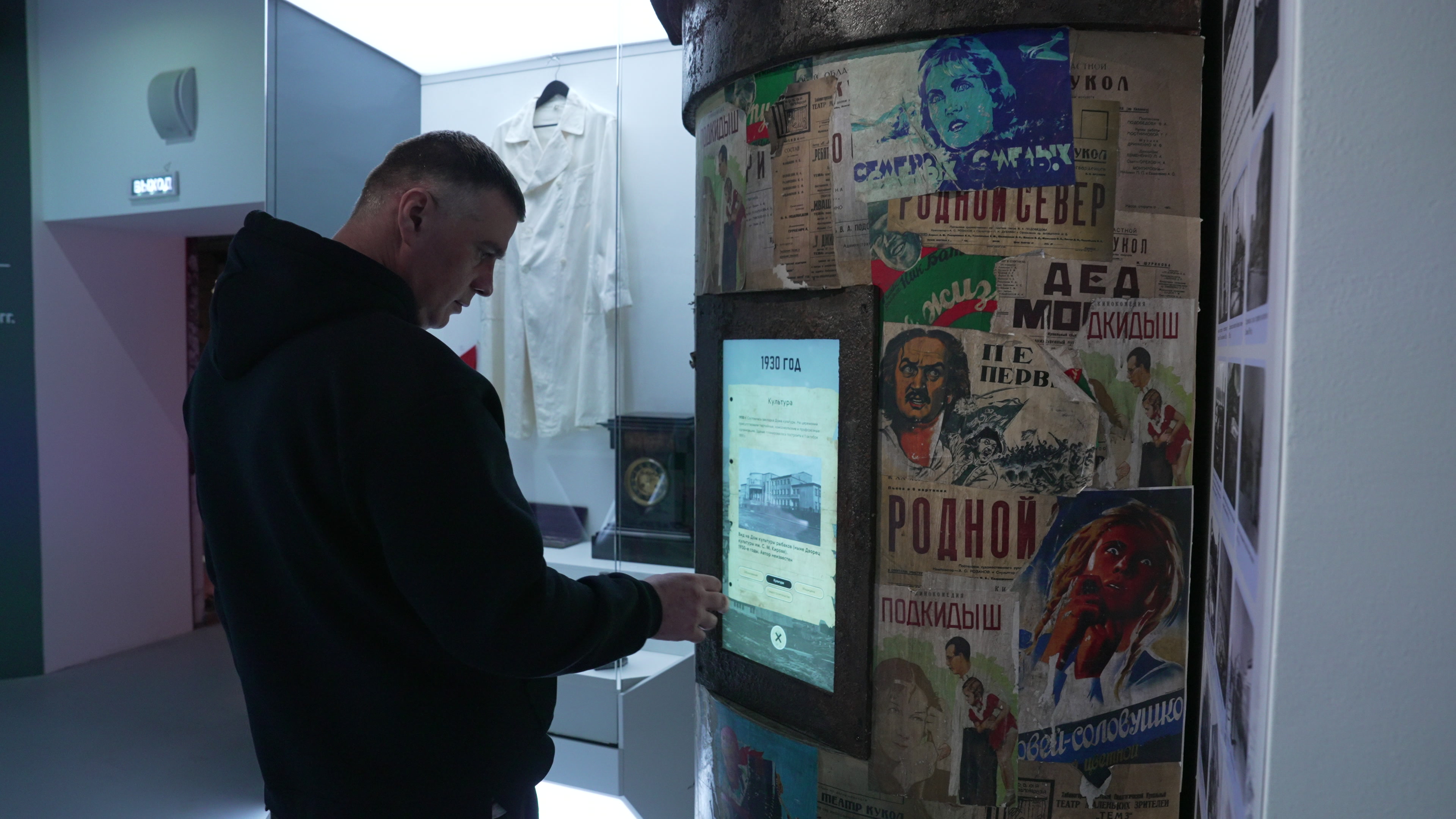
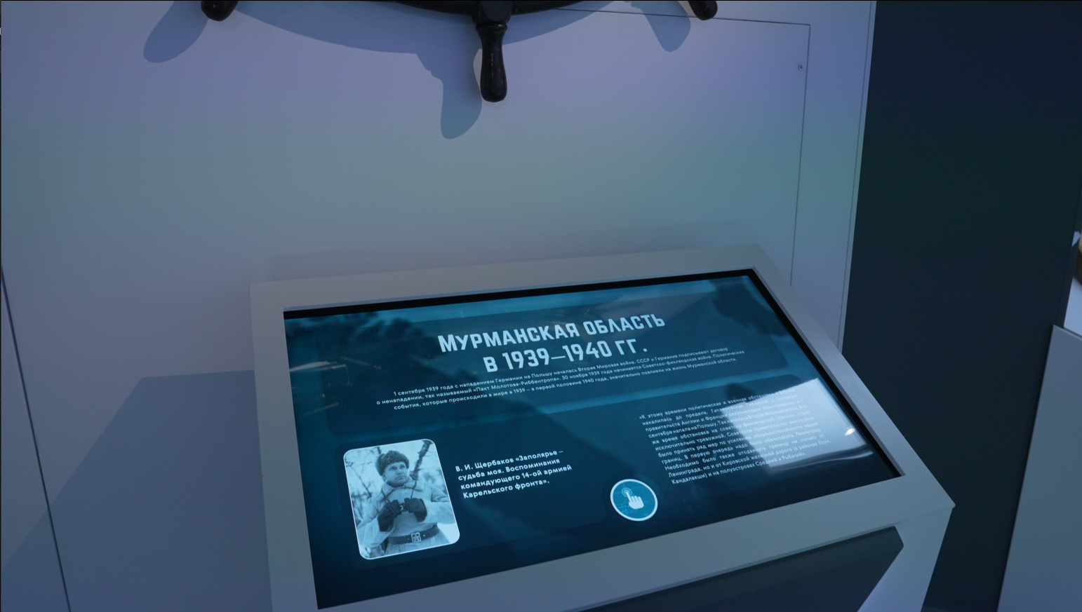
“Morse code” is a game with a telegraph key: the visitor chooses a character and taps out their message. A 55″ vertical touch screen “Polar aviation”, the touch table “Shipping and the Soviet–Finnish War”, and the “Urban development” screen in an advertising column — Murmansk year by year, from 1930 to 1941.
The Great Patriotic War
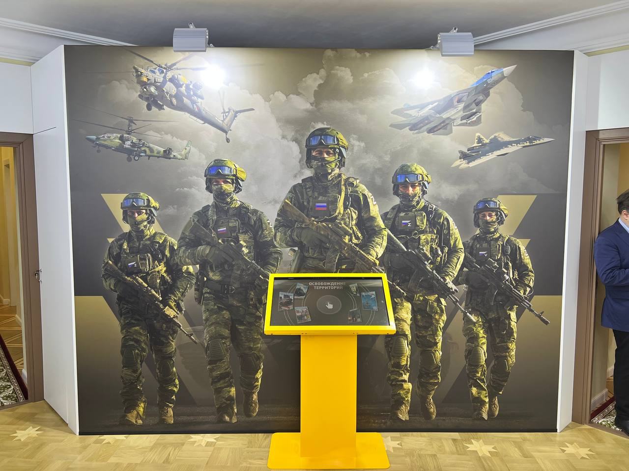
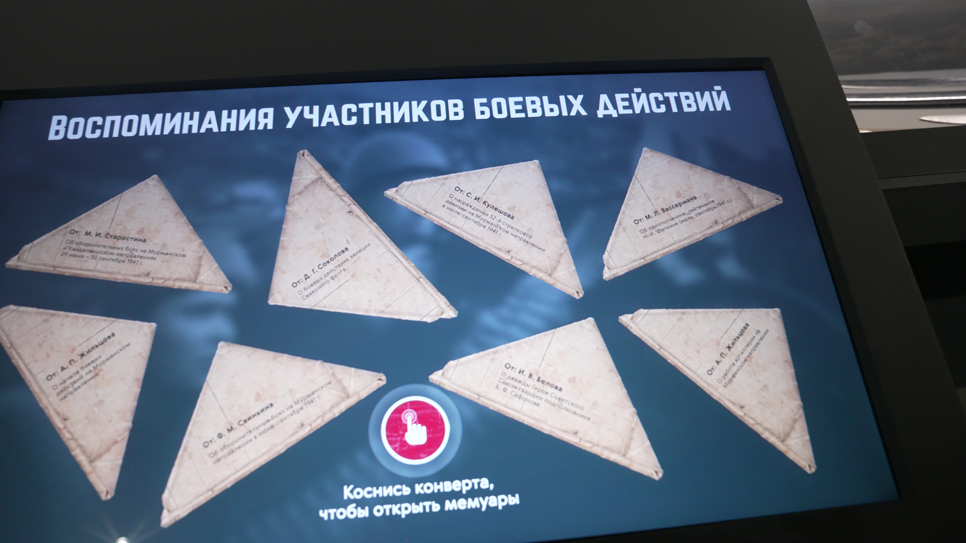
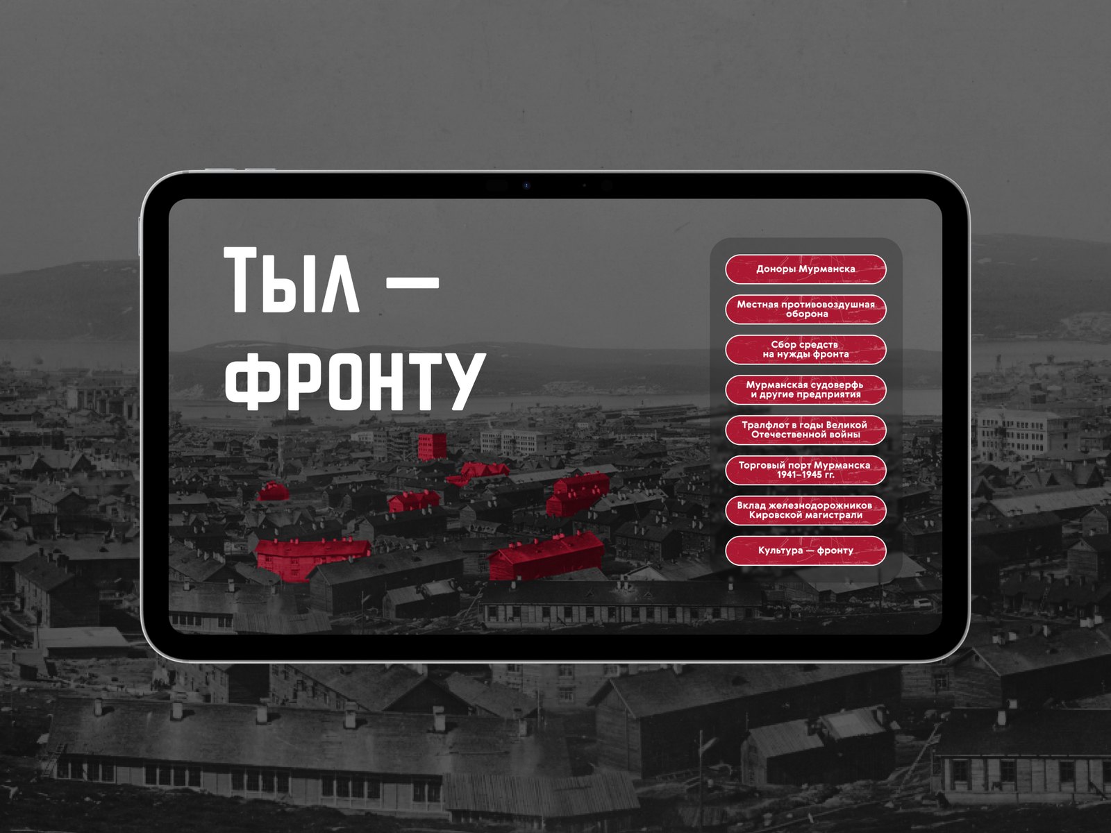
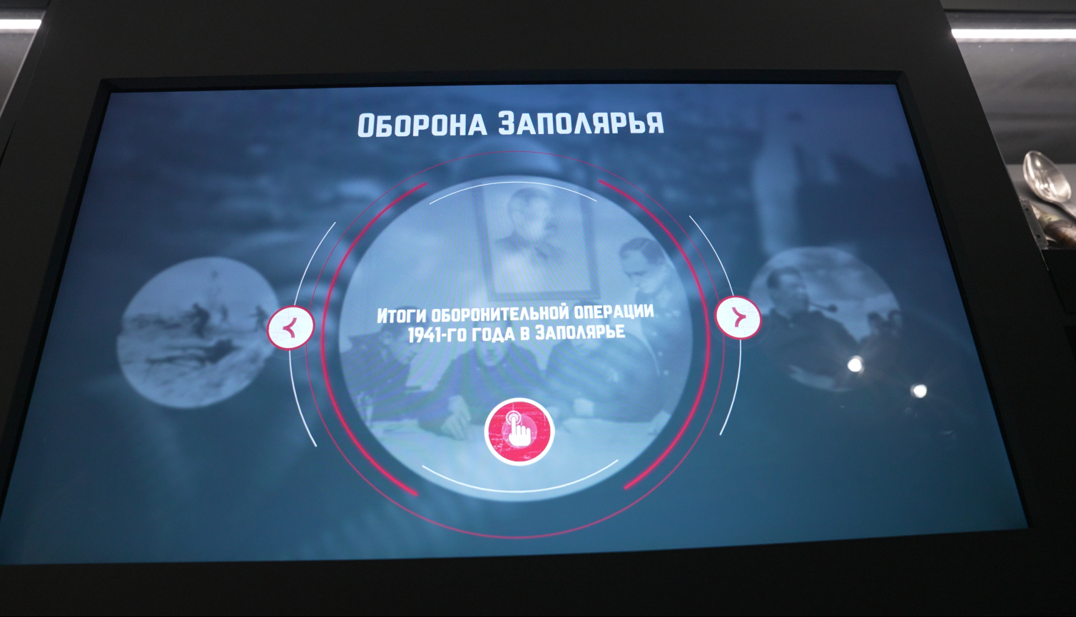
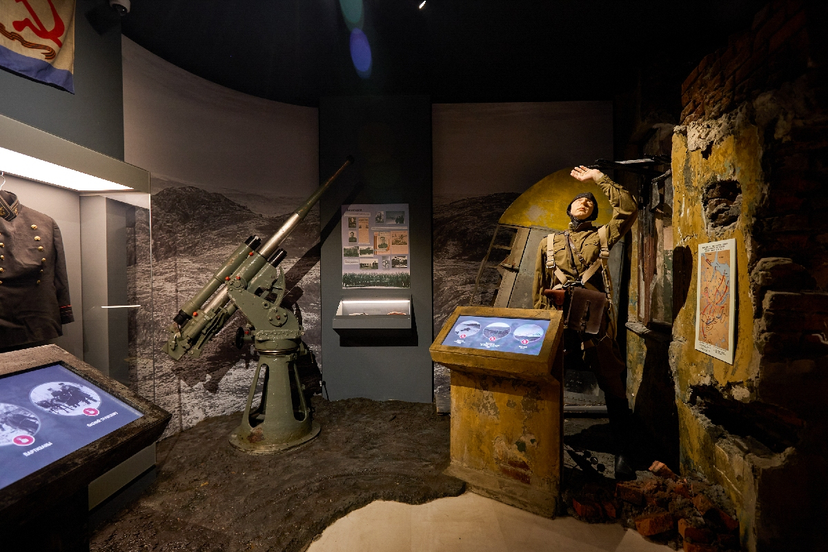
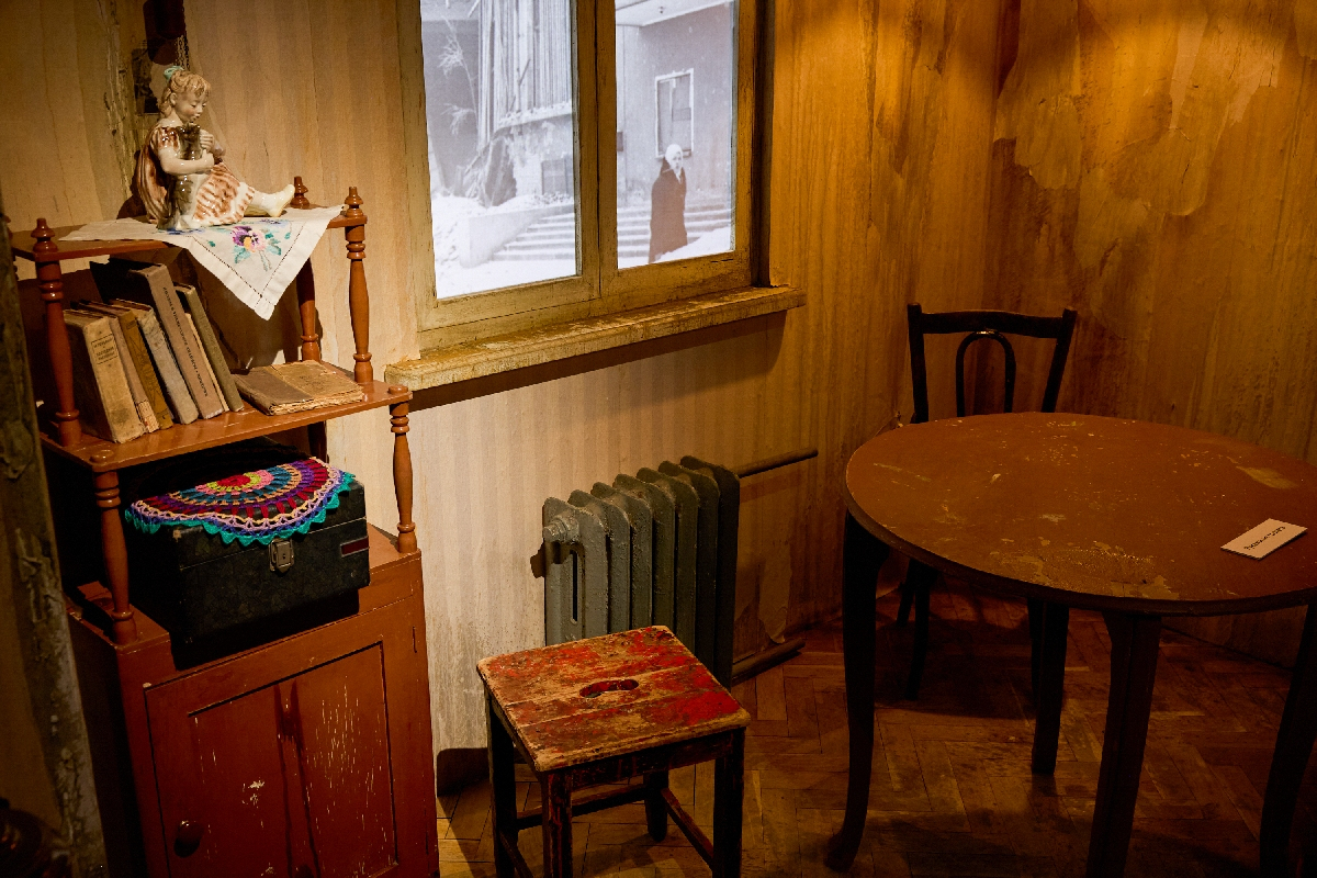
“Plan Barbarossa” is a vertical touch screen set into a wall with a map: six sections, from “The blitzkrieg plan in the North” and “The forces of the two sides” through operations Renntier, Platinfuchs and Polarfuchs to “The failure of the blitzkrieg in the North”; each section is a short animation on the map. The projection “Historical footage”. Two “Defence of the Arctic” screens: the second holds the recollections of those who fought, each opened by touching a folded triangular wartime letter. The touch screens “Positional warfare” (the fleet and the Northern Defence Area, aviation, partisans, reindeer transport units), “The home front for the front line”, “Lend-Lease” and “Medical squads” with the game “Pack the medic’s bag”. A projection outside the window of a wartime flat.
Victory in the Arctic
“Search teams” is a 43″ touch pylon across which cards of the teams and their members “fly”. In “Faces of Victory”, photographs of heroes fly out onto the wall; a hero is chosen on a touch screen, and their card opens up on the wall. The touch screen “Norwegian patriots and the liberation of Norway” and two projections, “The Petsamo–Kirkenes Operation”, started with a button.
The post-war years
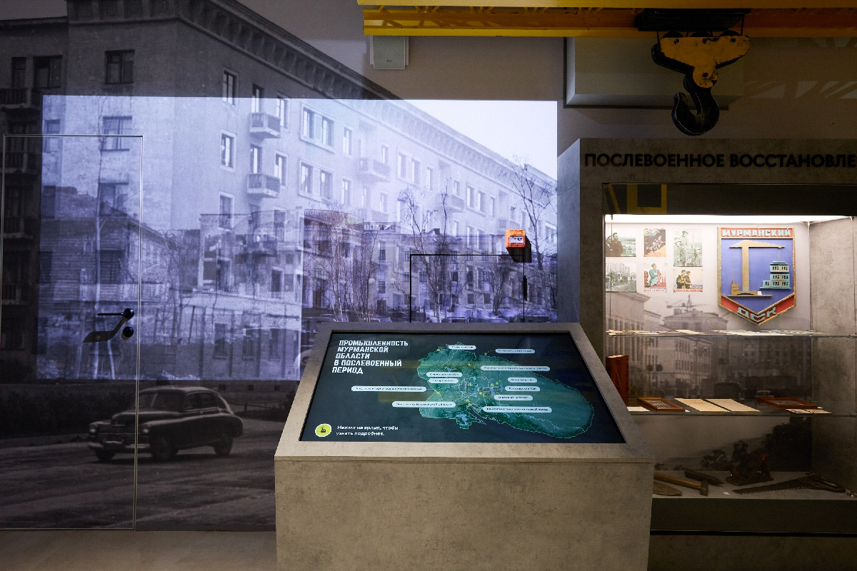
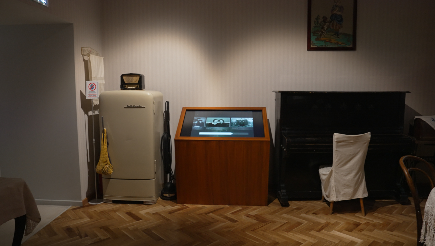
The touch screens “Reconstruction and construction”, “Industry and development” — a map of the region’s enterprises — and “Everyday life” in the interior of a Soviet flat.
Economy
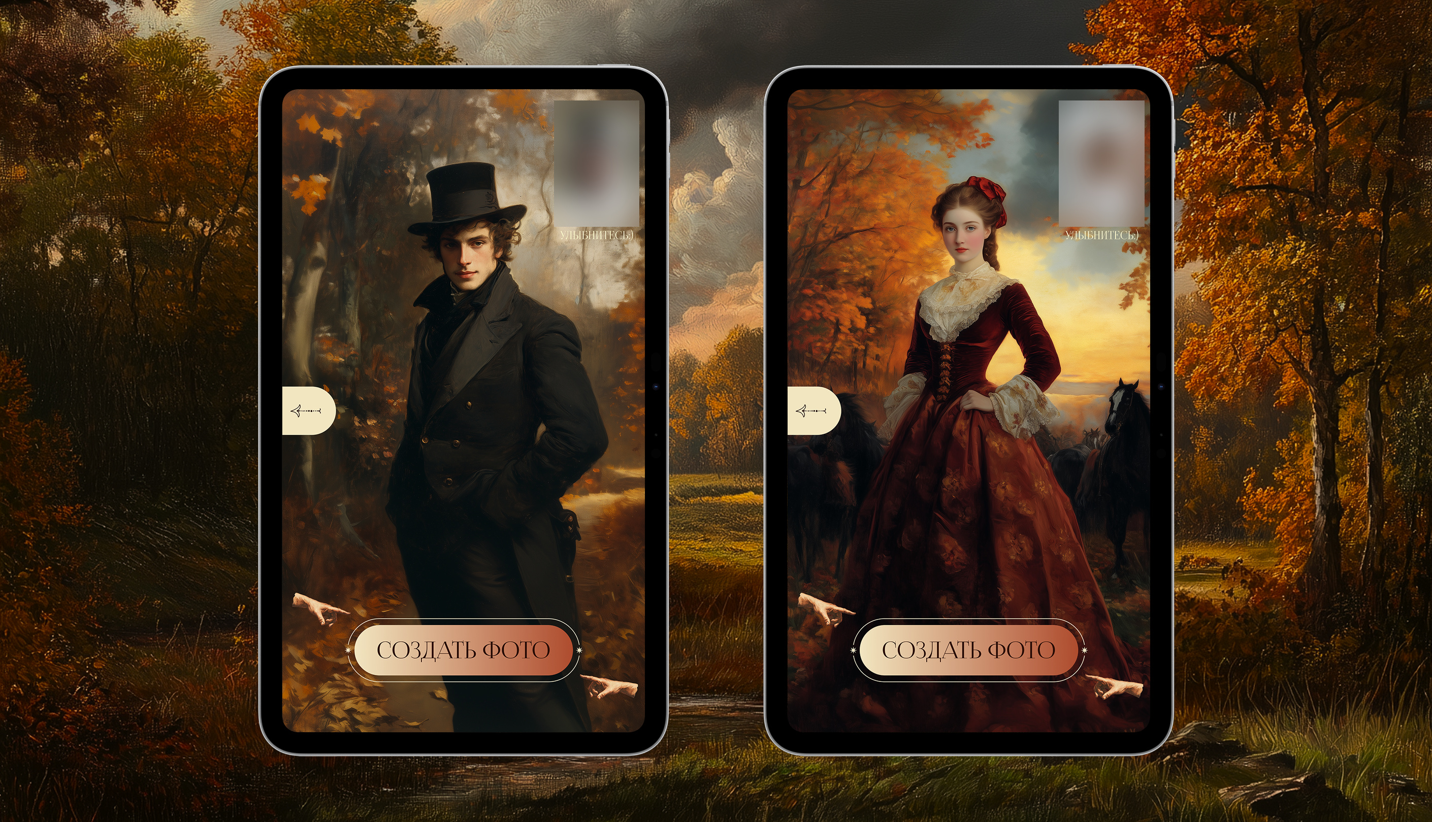
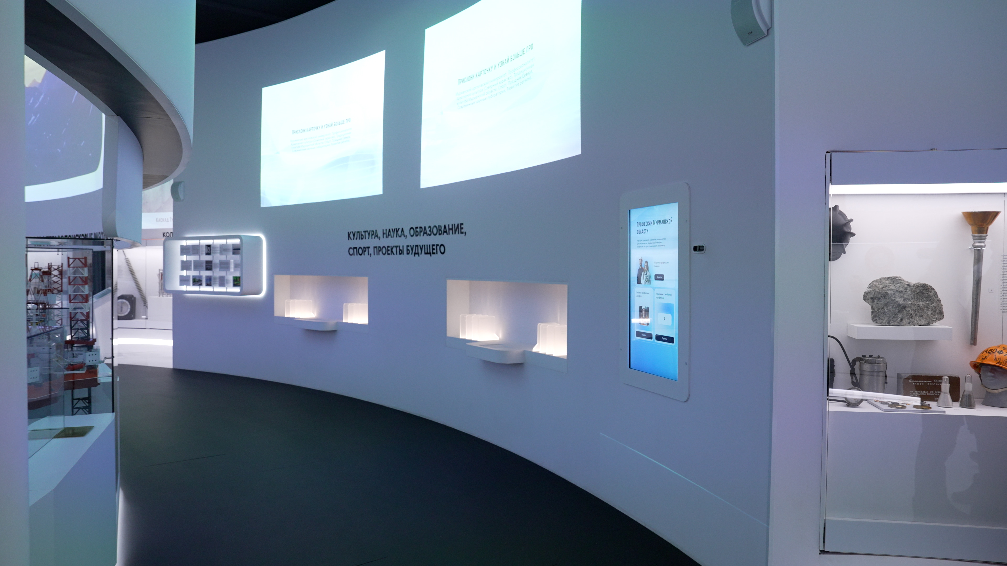
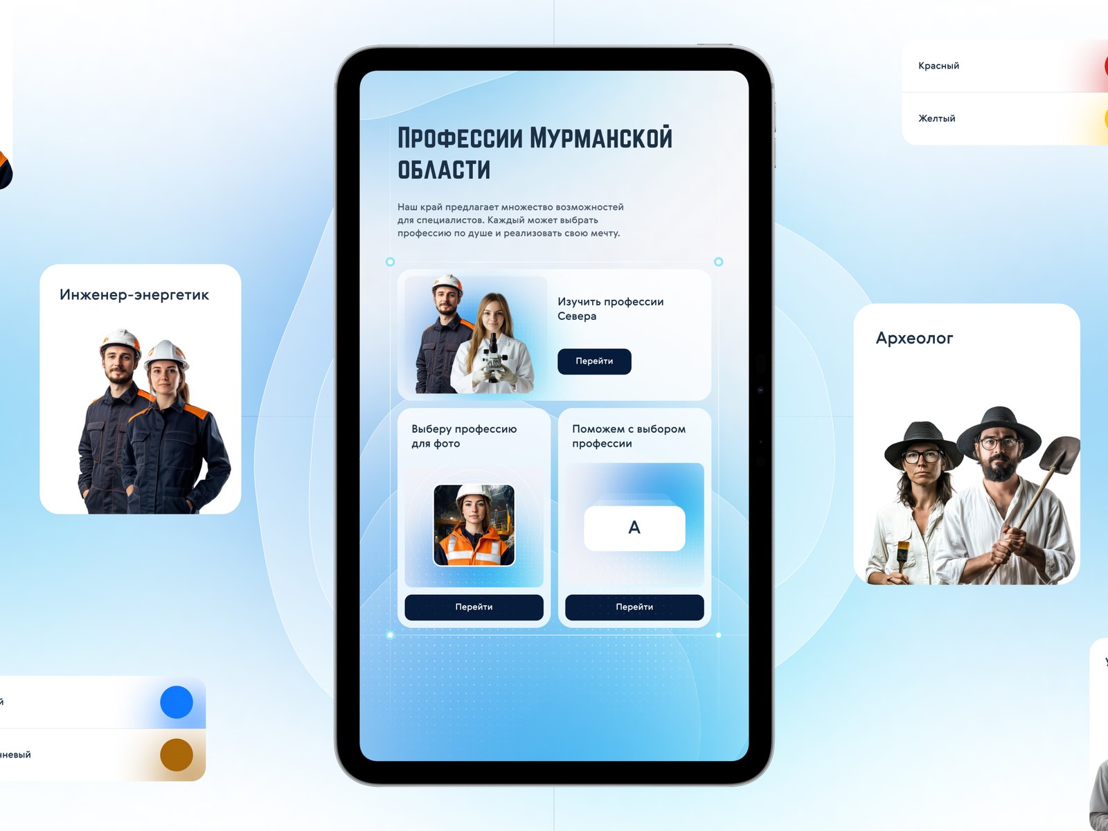
A projection wall with a card index: the visitor places a card against a marker, and a video starts on the wall — education, culture, science, sport, the Sami, the future of the region. “Photomechanics of a profession” is a vertical touch screen with a camera: the visitor chooses a profession, the camera takes their picture, and their face appears in the guise of a person in that profession; the picture can be downloaded to a phone via a QR code.
How it is built
Under the technical specification: touch screens from 24 to 55″, Optoma laser projectors (ZU720TST, ZU606TSTx, ZU500USTe, ZU606Te), nettops and computers with GeForce RTX 3060 graphics cards, VR headsets, a Kinect Azure sensor, a Logitech Brio camera, RFID tags for the cards.
Screens on rails in the tundra and seas halls: sensors determine the position of each screen on its guide rail, and the application shows the part of the showcase that the screen is facing.
Physical controls: buttons at the whale, the fortress and “Petsamo”, the ship’s wheel and buttons in the wheelhouse, the telegraph key, RFID-tagged cards in the card index.
Every workstation has remote access.
Result
The installations were completed between December 2024 and April 2025. The museum opened on 17 March 2025; from March to November 2025 it welcomed more than 100,000 visitors.