Museums · 2024
History of Fortification
Museums / History of Fortification
About the project
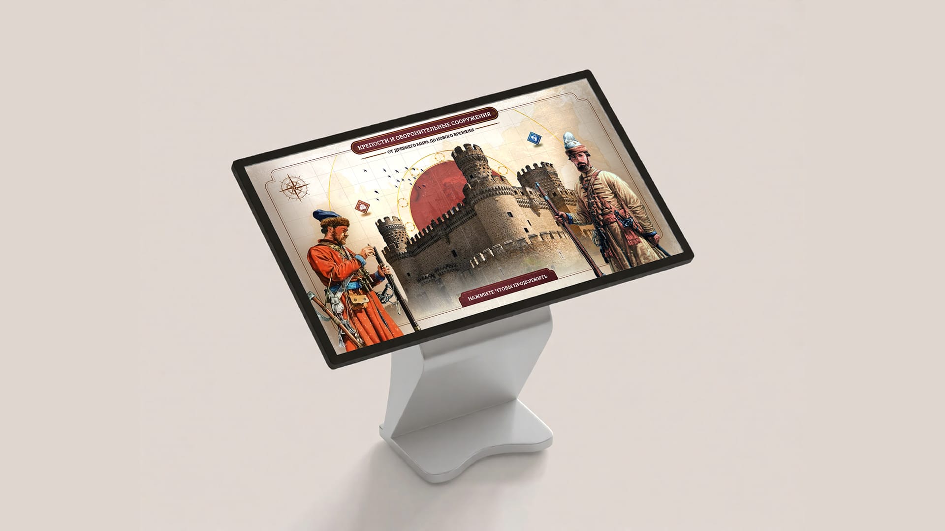
An application for a touch screen in the “Defenders of Russia’s southern frontiers in the 16th–17th centuries” exhibition at the Tula Kremlin: fortresses of the world on a map and the servicemen of the Muscovite state.
On 17 December 2024, the permanent exhibition “Defenders of Russia’s southern frontiers in the 16th–17th centuries” opened in the building of the Tula State Arms Museum within the Tula Kremlin — the former Epiphany Cathedral. It tells the story of the defenders of the Tula Kremlin and the service class of the Tula region, of border service on the Great Abatis Line and of the origins of arms making in Tula.
We made an application for the touch screen in the hall: about the fortresses and defensive structures of Europe, Asia and Africa from the Ancient World to the Early Modern period, and about the servicemen of the Muscovite state in the 16th–17th centuries.
Year
2024
Industry
Museums
Scope of work
A touch-screen application: 2 sections, a map of fortresses across three eras, servicemen of the 16th–17th centuries
Venue
Tula State Arms Museum, Tula Kremlin, Tula
- 2
- sections in the application
- 3
- eras on the fortress map
- 17.12.2024
- exhibition opens
The task
The exhibition needed a touch screen covering two topics: which fortresses and defensive structures were built in different eras, from the Ancient World to the Early Modern period, and who defended the southern frontiers of the Muscovite state in the 16th–17th centuries and how these men were armed. Both topics are in one application on one screen.
What we did
Start screen and section choice
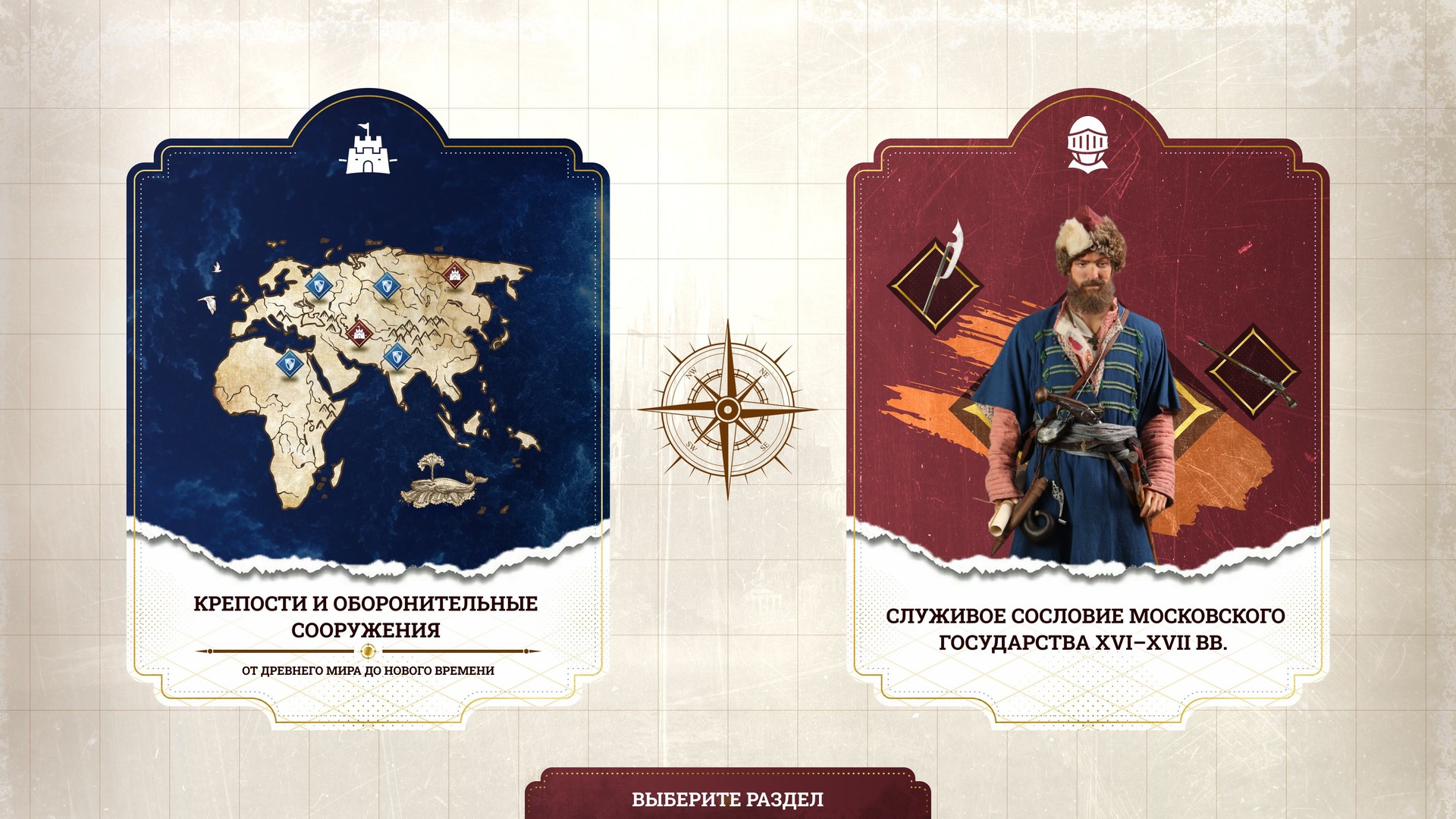
The start screen reads “Fortresses and defensive structures. From the Ancient World to the Early Modern period”. Next, the visitor chooses one of two sections: “Fortresses and defensive structures” or “The service class of the Muscovite state, 16th–17th centuries”.
“Fortresses and defensive structures”
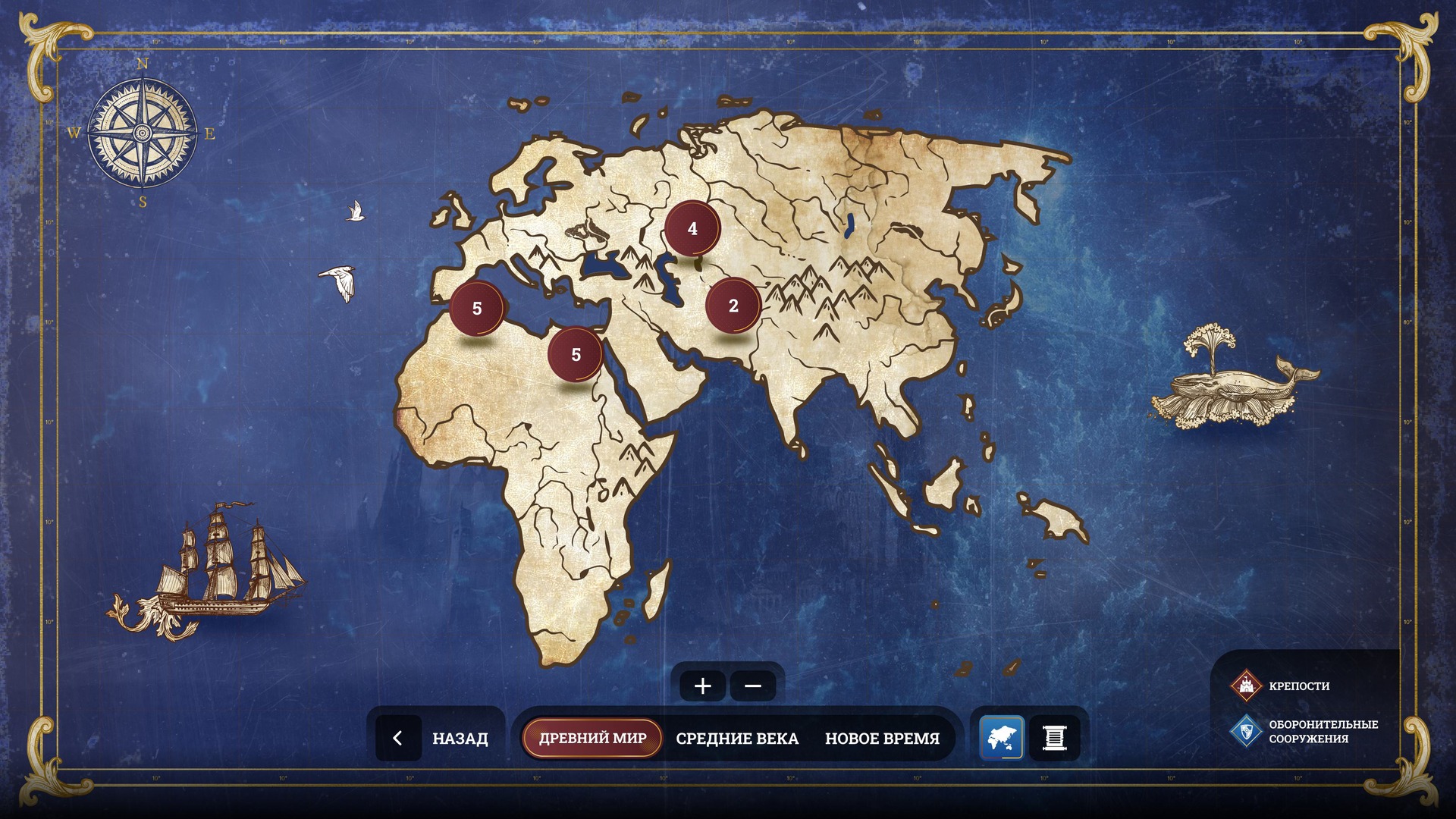
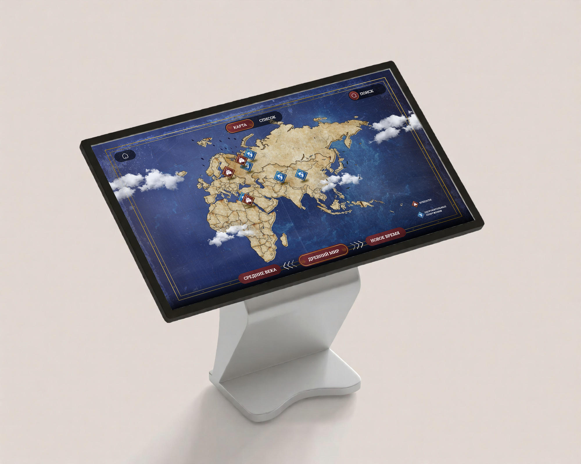
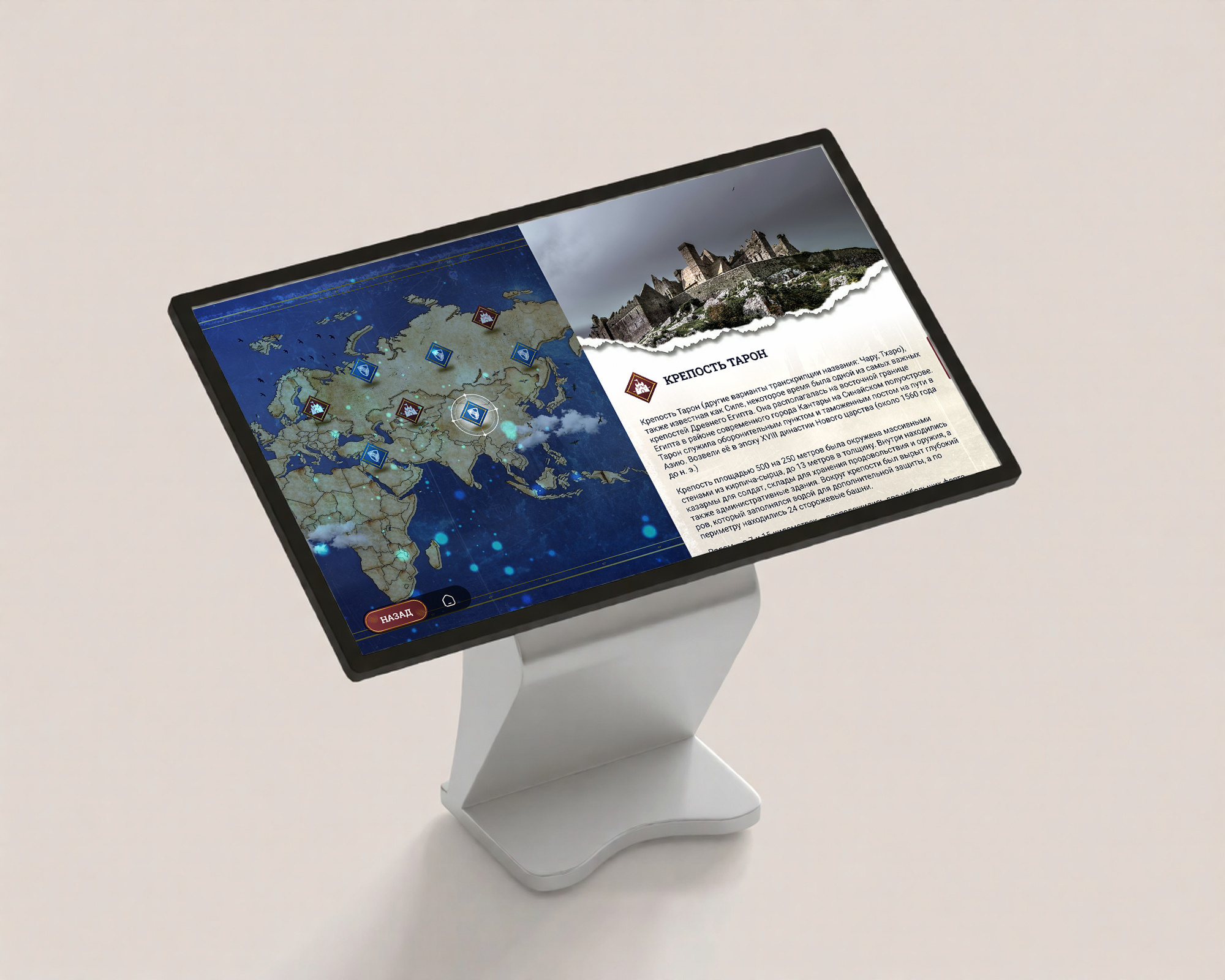
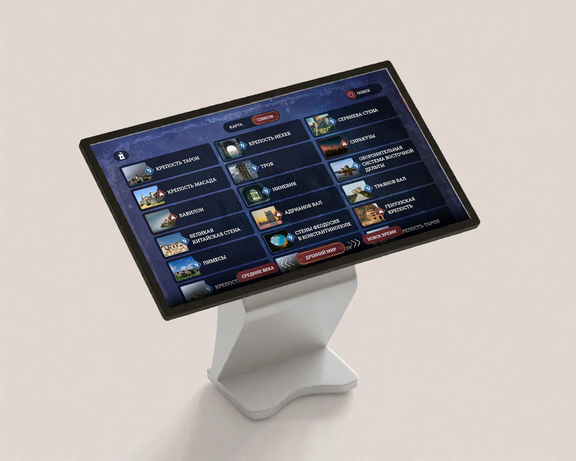
A map of Europe, Asia and Africa styled as an antique map. Sites are marked with two symbols — “Fortresses” and “Defensive structures”. The era is switched with the buttons “Ancient World”, “Middle Ages” and “Early Modern period”. The map can be zoomed in; when it is zoomed out, the markers group into circles showing the number of sites. The same sites can be opened as a list with pictures. Tapping a marker opens a card: the name, a story about the site and photographs that expand to full screen.
“The service class of the Muscovite state, 16th–17th centuries”
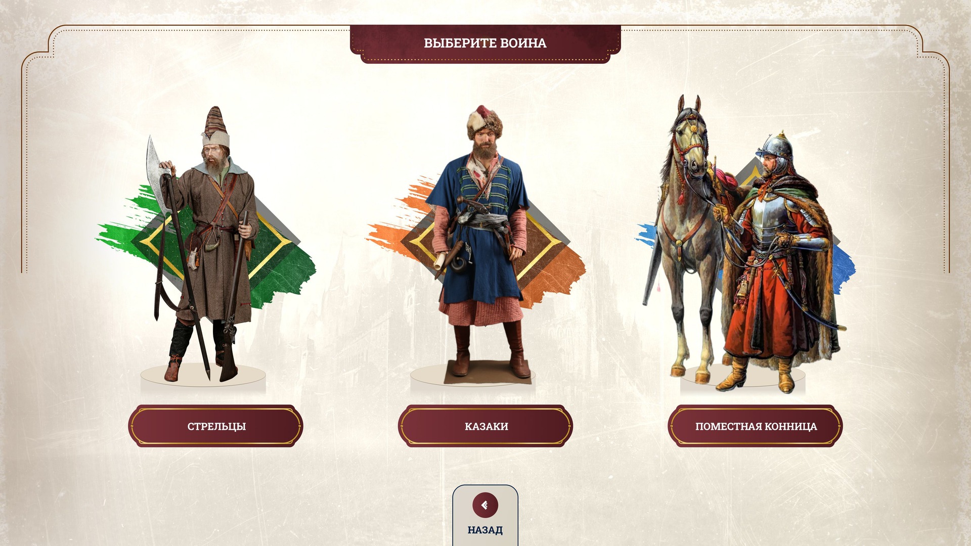
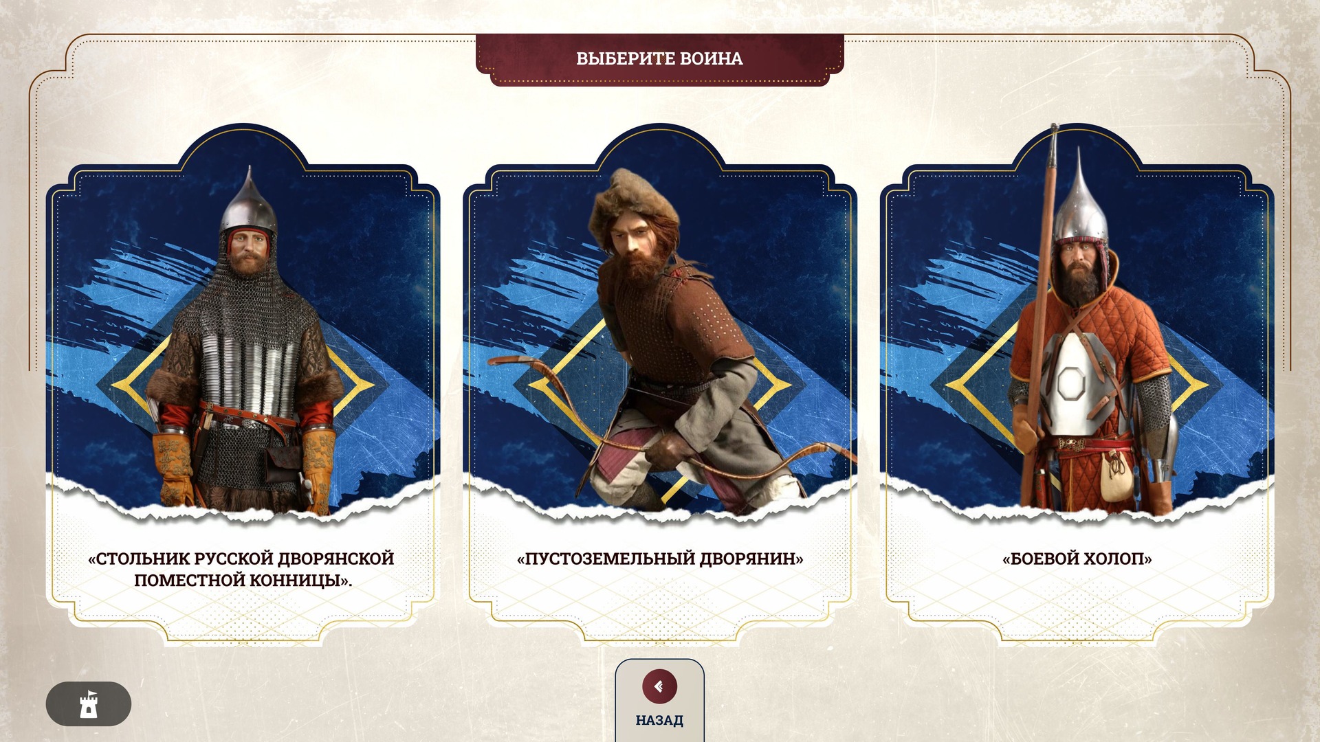
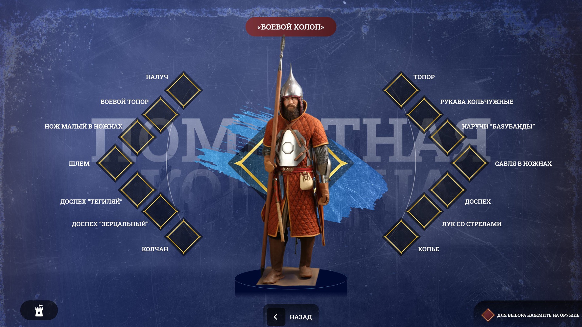
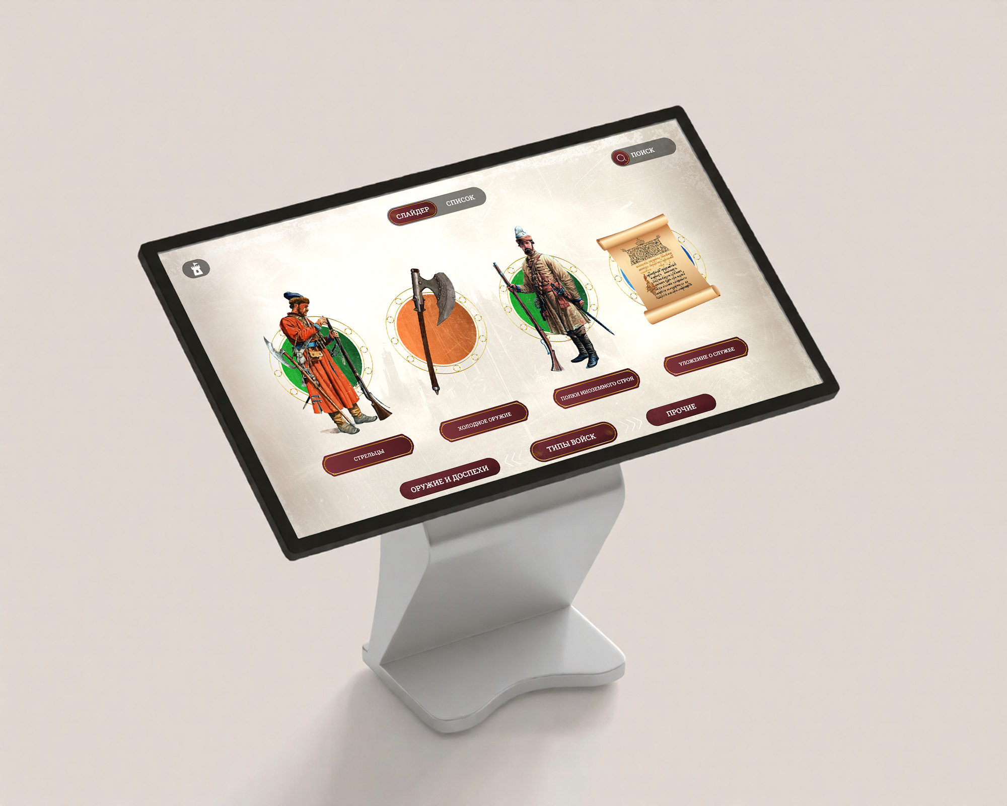
The visitor chooses a warrior: streltsy, Cossacks or the landed cavalry. The landed cavalry has three figures: a stolnik of the Russian noble landed cavalry, a landless nobleman and a military bondsman. On the warrior’s screen the figure stands in the centre surrounded by the items of his equipment; the military bondsman has fourteen of them, from a helmet and “tegilyai” quilted armour to a bow with arrows and a spear. Tapping an item opens a card with its image and description.
How it is built
A horizontal touch screen in the exhibition hall. The interface is drawn for a resolution of 3840×2160.
The design imitates an antique map: a compass, a sailing ship and a whale in the margins, paper with torn edges, burgundy buttons. Each branch of service has its own colour: streltsy are green, Cossacks orange, the landed cavalry blue.
Inside the sections, every screen has a “Back” button.
Result
The exhibition opened on 17 December 2024. The application is in use in the hall: the section choice and warrior choice screens appeared in the TULASMI report from the opening (0:50–0:52).