Exhibitions / Interactive map of municipal projects for the “Small Homeland — Strength of Russia” forum
Interactive map of municipal projects for the “Small Homeland — Strength of Russia” forum
About the project
A 3D touch map of Russia for the 3rd All-Russian Municipal Forum “Small Homeland — Strength of Russia”: municipal projects by region and section, and four educational projects.
The 3rd All-Russian Municipal Forum “Small Homeland — Strength of Russia” took place on 20–22 April 2026. It is organised by the All-Russian Association for the Development of Local Self-Government (VARMSU) with the support of the Presidential Executive Office, and is timed to Local Self-Government Day, 21 April.
We made a touch application for the forum: a 3D map of Russia on which the guest chooses a region and sees which projects its municipalities have carried out. The application stood in the Live Arena in the Odintsovo district of the Moscow Region.
Year
2026
Industry
Exhibitions
Scope of work
Touch application: a 3D map of Russia with municipal projects and four educational projects
Venue
Live Arena, Moscow Region — “Small Homeland — Strength of Russia” forum
- 4
- educational projects in the application
- about 7 thousand
- forum participants, according to the organisers
- 20–22.04.2026
- 3rd All-Russian Municipal Forum
The task
To show forum guests the experience of municipalities from all over the country in a way they could explore on their own, without a guide: choose a region and a topic, and read about a specific project — what was done, where, and with what results.
And separately, to present the educational programmes for municipal employees.
What we did
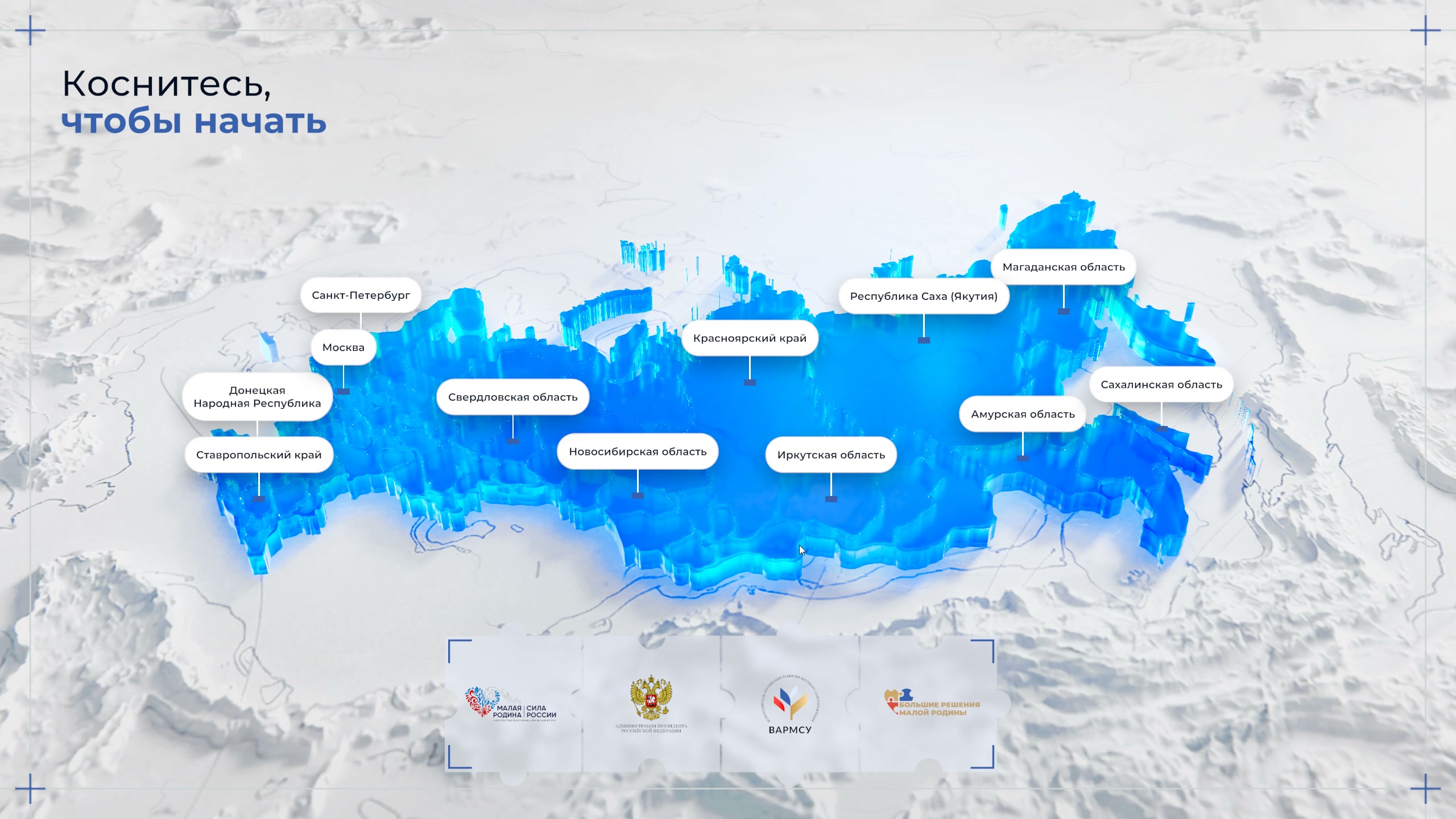
Start screen
The words “Touch to start”, a 3D map of Russia on white relief with region names, and the logos of the forum organisers at the bottom.
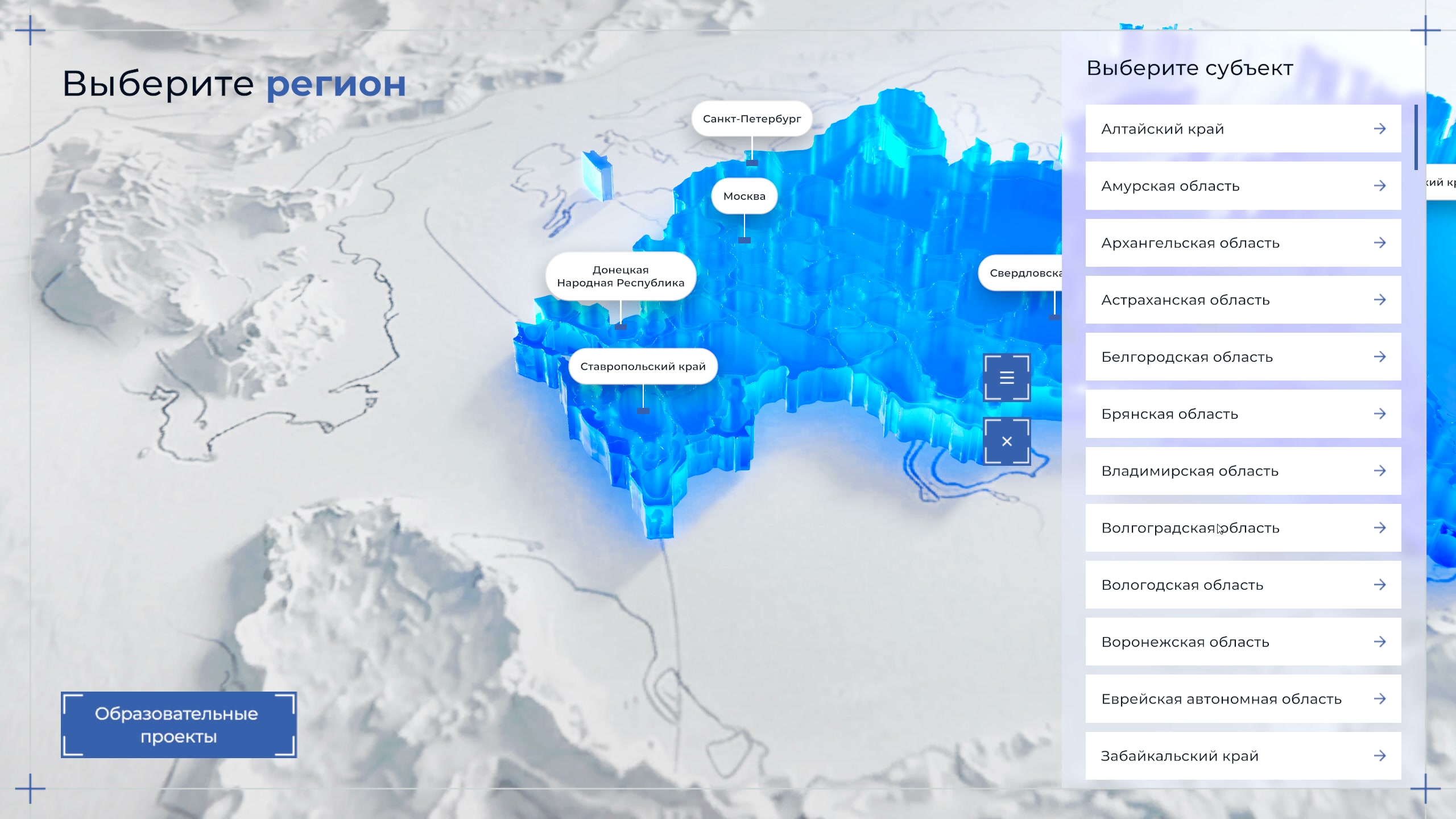
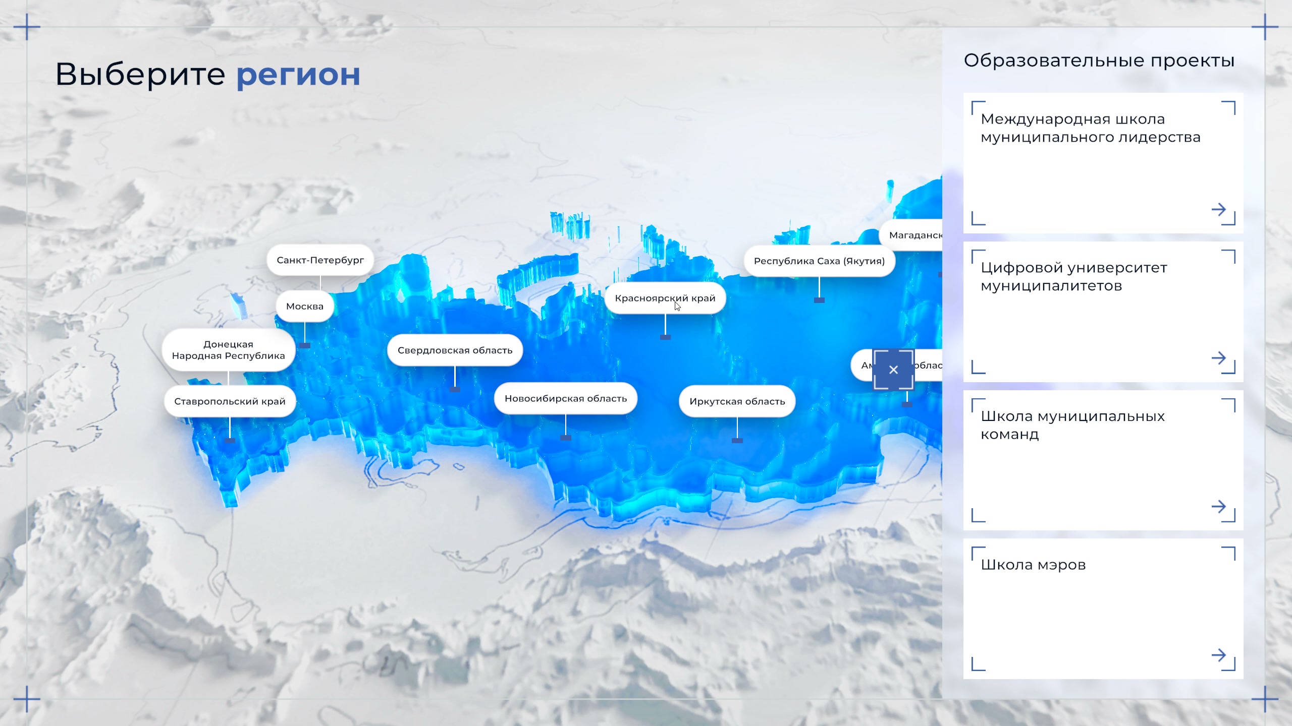
Choosing a region
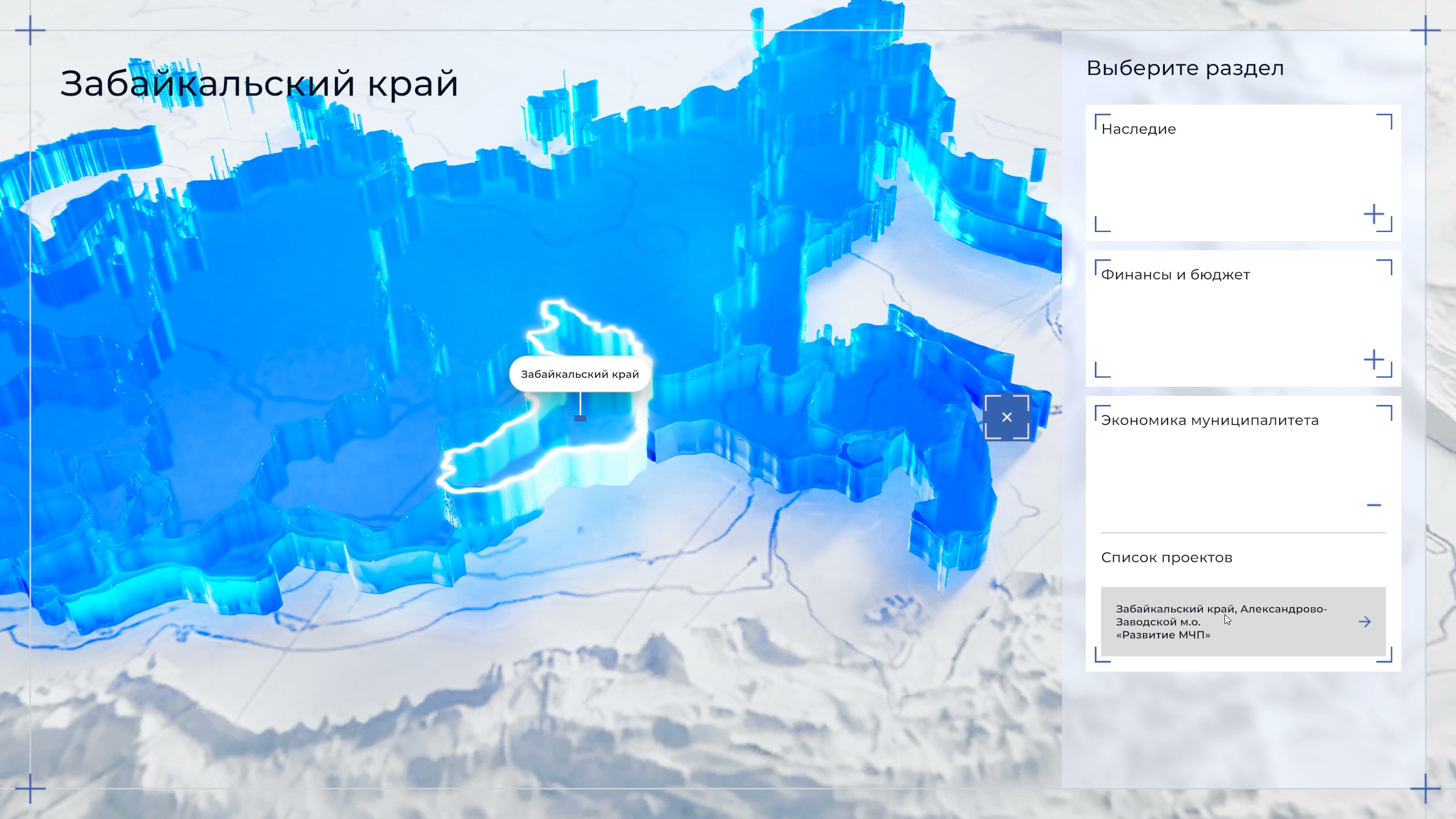
A region is chosen by touching it on the map or in the “Choose a federal subject” list, where the subjects are listed alphabetically. The camera zooms in on the region and its border lights up.
Sections and projects
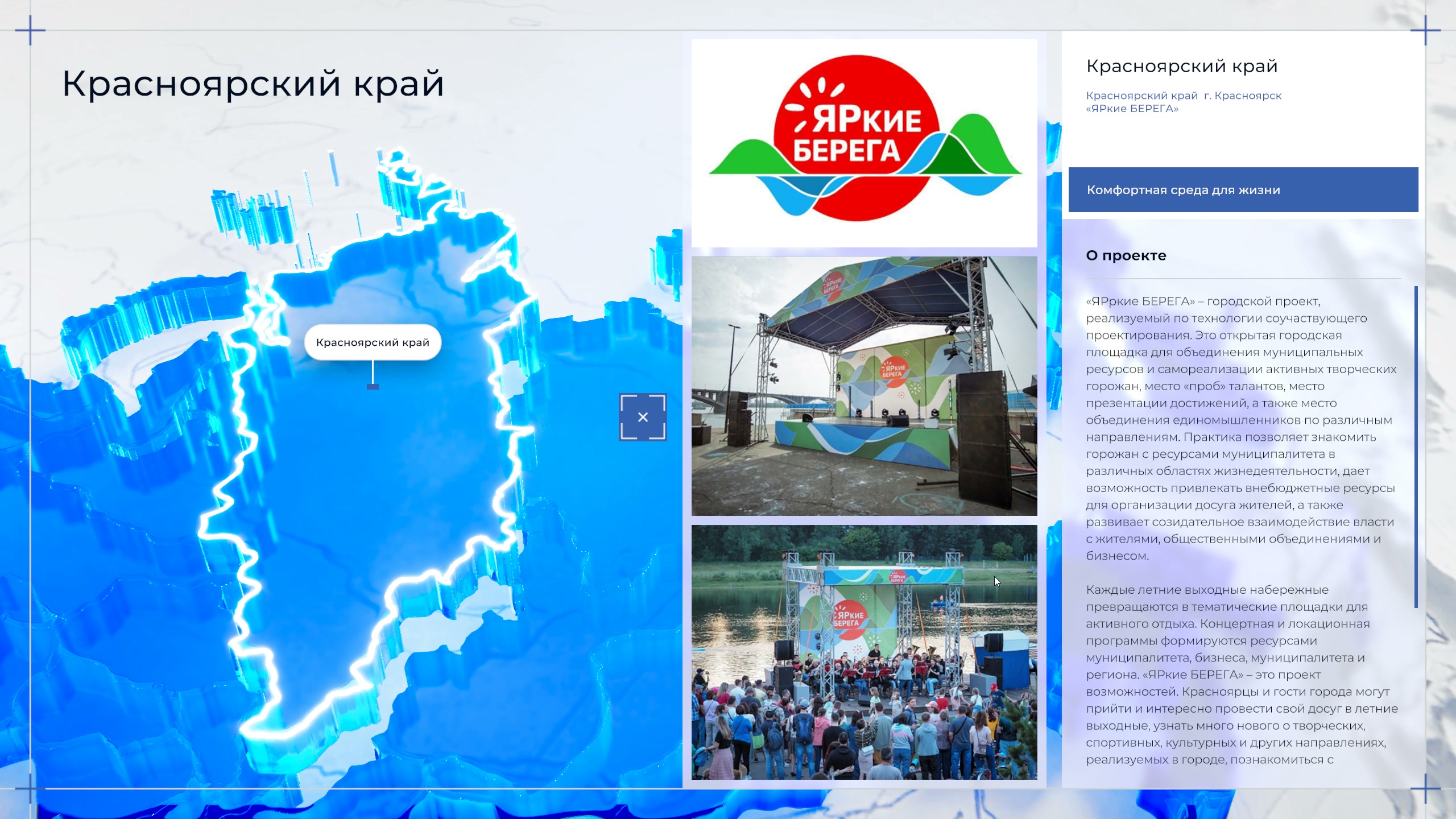
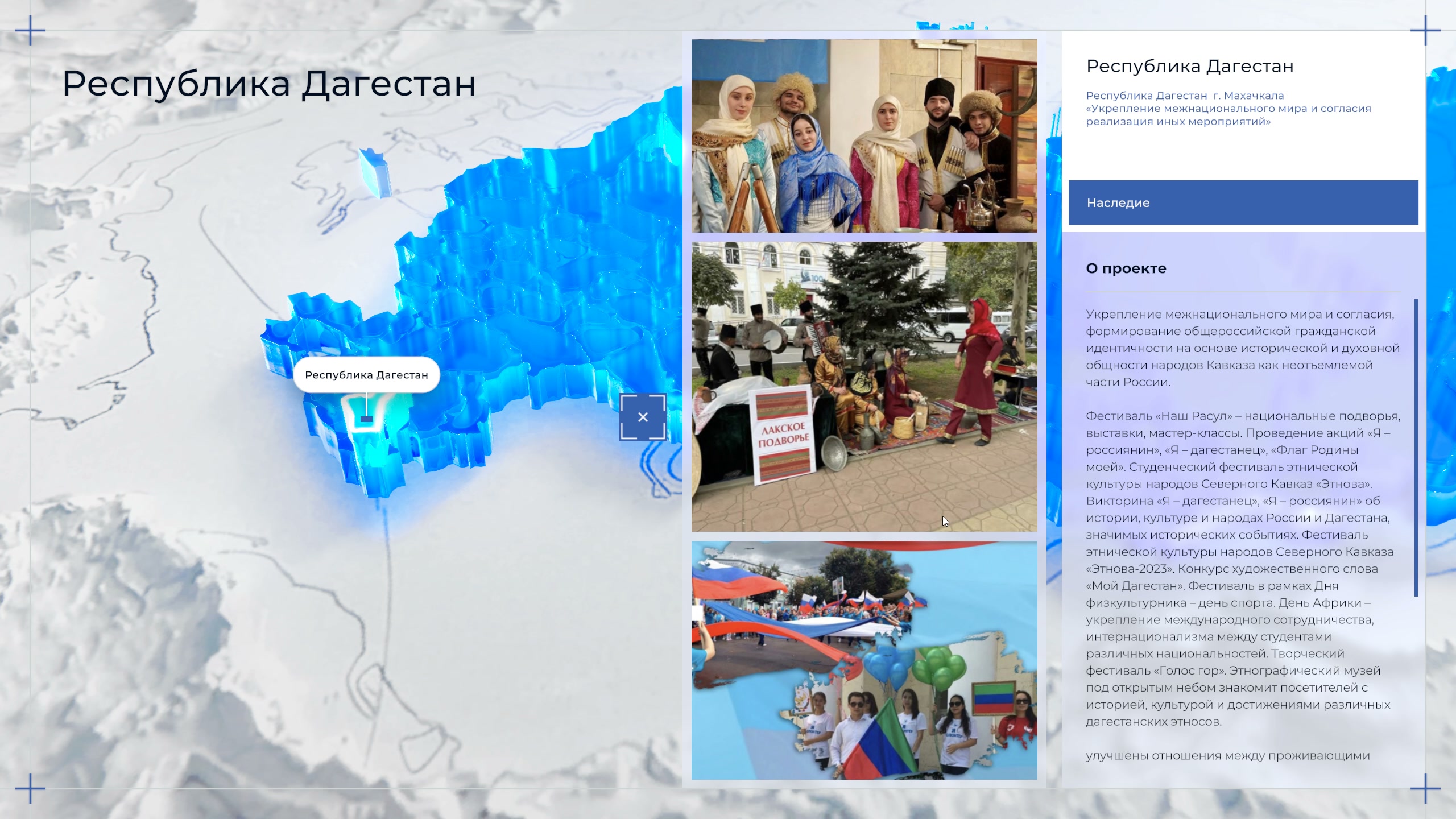
Each region has its own sections: “Heritage”, “Comfortable living environment”, “Eco-municipality”, “Digitalisation of municipal governance”, “Municipal economy”, “Finance and budget”, “Healthy and active lifestyle”, “Support for participants in the special military operation and their families”, “Sustainable development of the territory”, “Engagement with residents”. A section opens into a list of projects.
A project card shows the municipality, the name, the section, an “About the project” text and three photographs. The projects include “BRIGHT BANKS” in Krasnoyarsk, “Aldan Active Longevity” in Yakutia, “Developing Municipal-Private Partnership” in the Aleksandrovo-Zavodsky district of Zabaykalsky Krai, and projects on interethnic harmony in Makhachkala and Mytishchi.
Educational projects
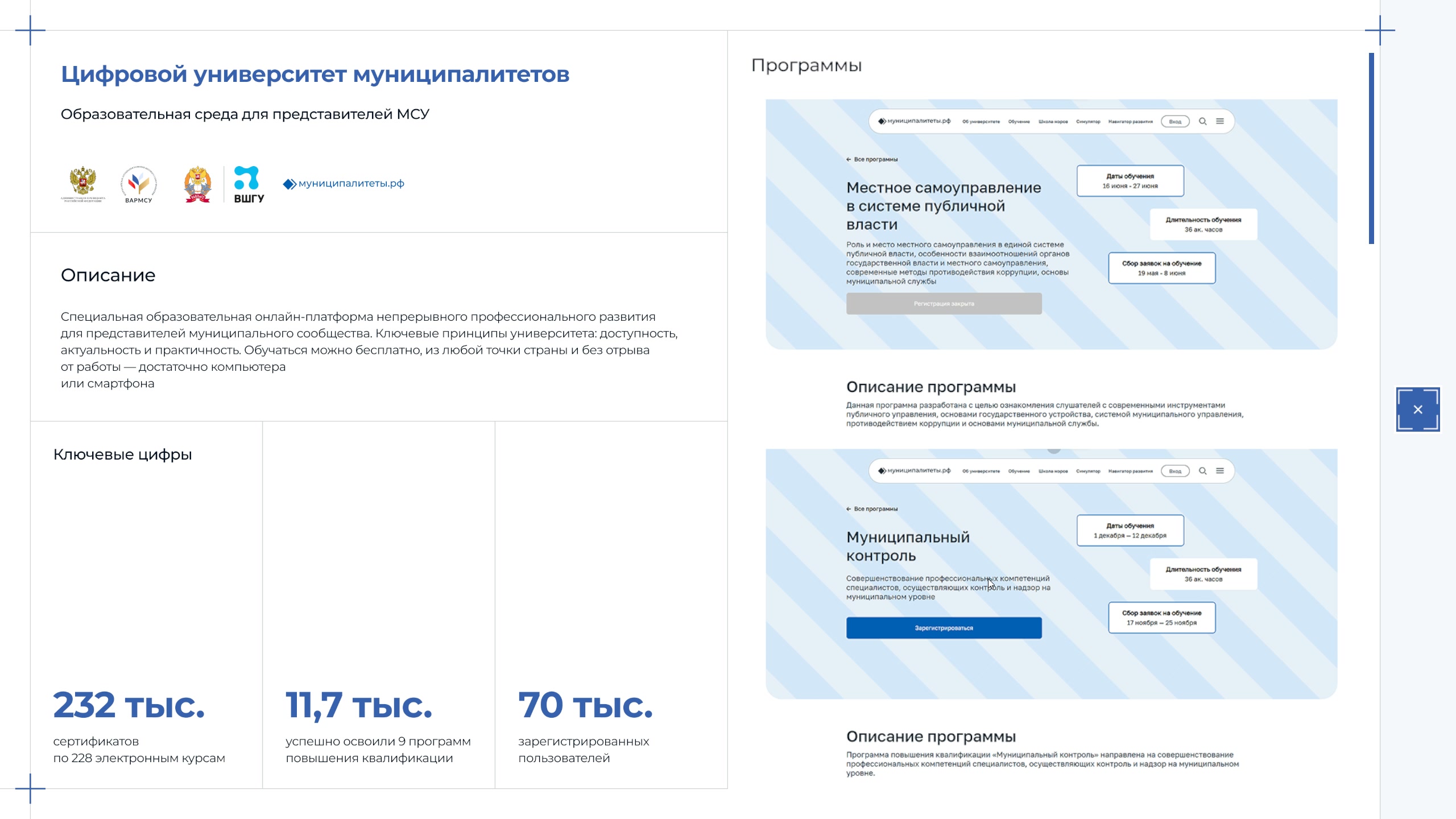
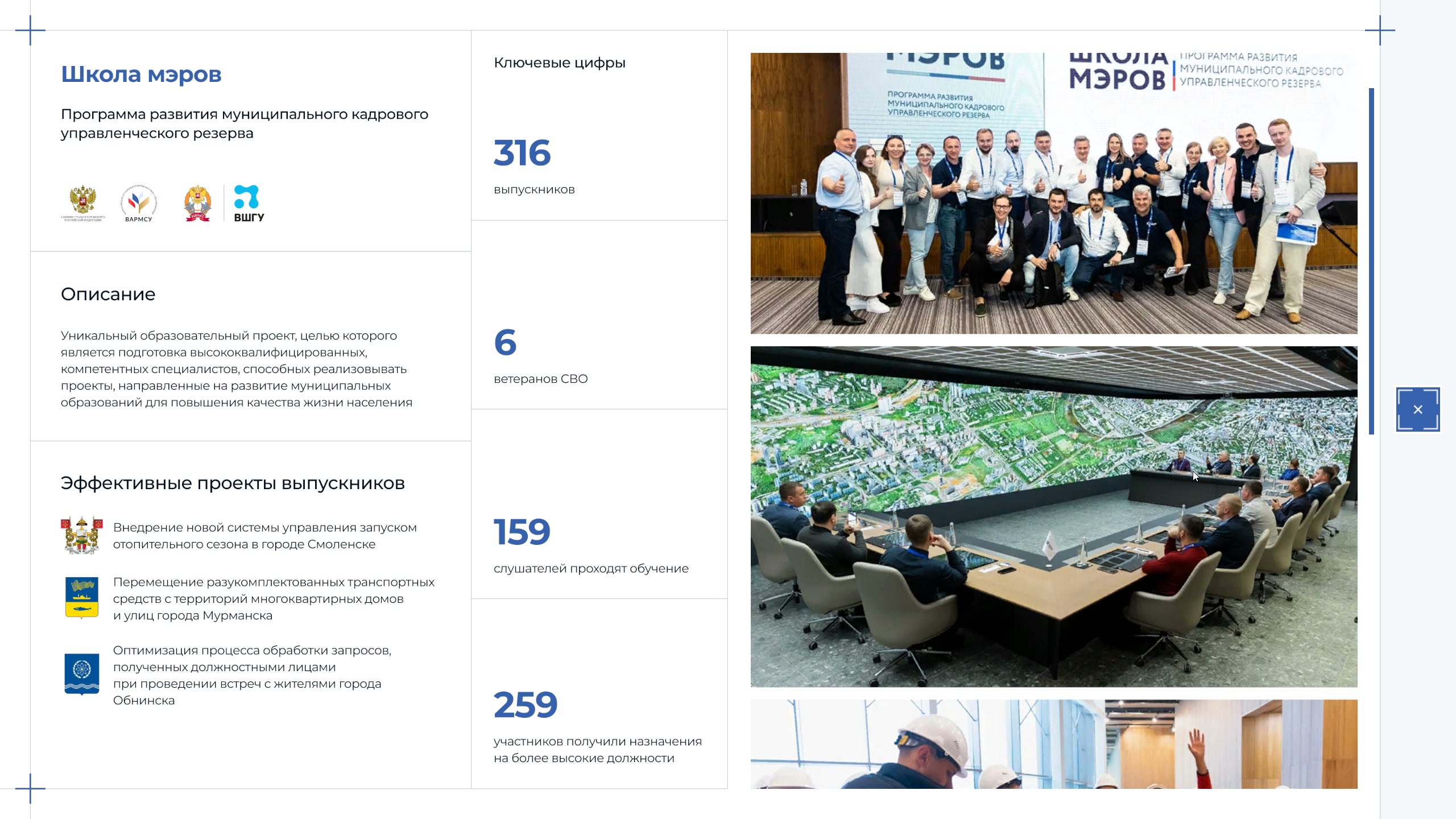
A button on the map opens four programmes: “International School of Municipal Leadership”, “Digital University of Municipalities”, “School of Municipal Teams” and “School of Mayors”. A programme card contains a description, key figures, courses or graduates’ projects, and photographs.
How it is built
The map is a 3D scene: the regions are translucent three-dimensional slabs above a relief base, and the selected region is picked out with a glowing outline.
The interface consists of white translucent panels over the map: the list of federal subjects, the sections and the project cards. Everything is controlled by touch.
Result
The final version of the application was ready on 18 April 2026, two days before the forum opened. According to the organisers, about 7 thousand representatives of the municipal community and government bodies took part in the forum.