Museums · 2022
Museum of Contemporary History of Russia
Museums / Museum of Contemporary History of Russia
About the project
Three projects for the permanent exhibition of the Museum of Contemporary History of Russia: six interactive exhibits in the halls on 1917, the 1920s and the 1930s, an interactive map of the Civil War and a round table with a map of the battles of the Great Patriotic War.
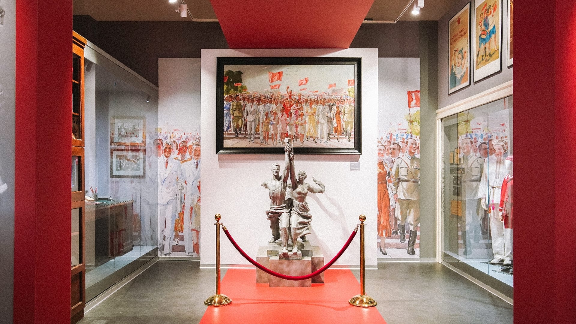
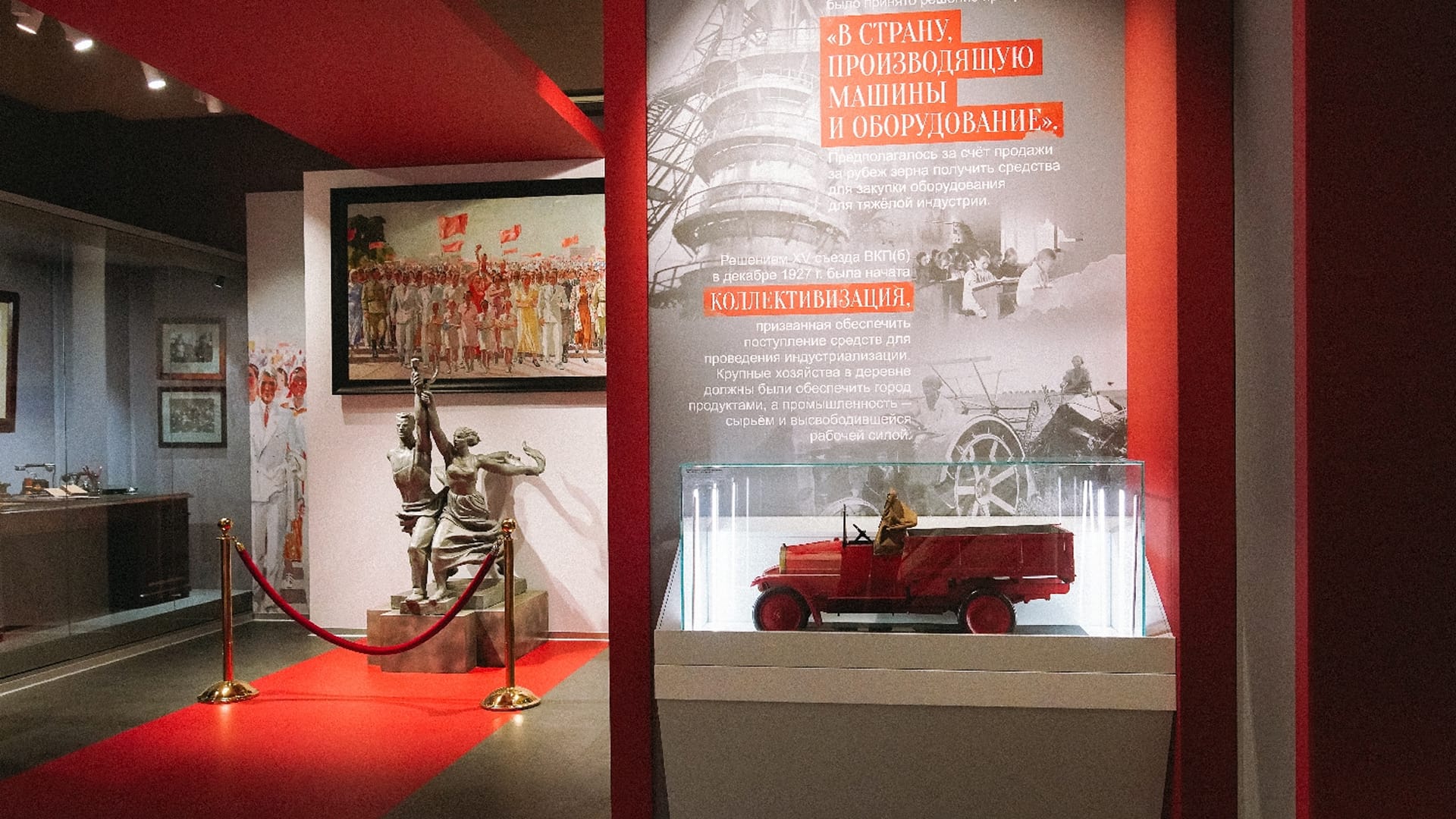
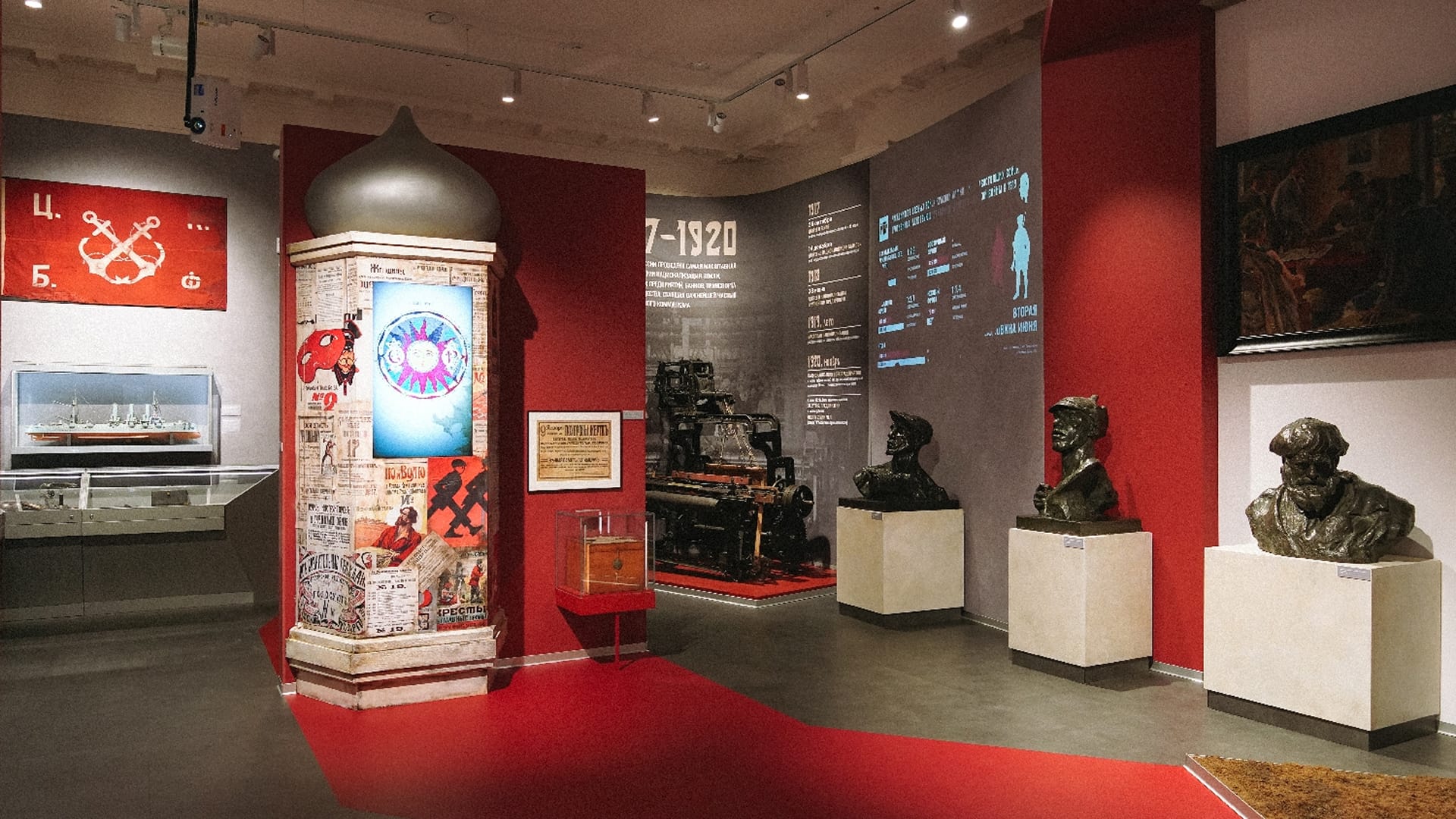
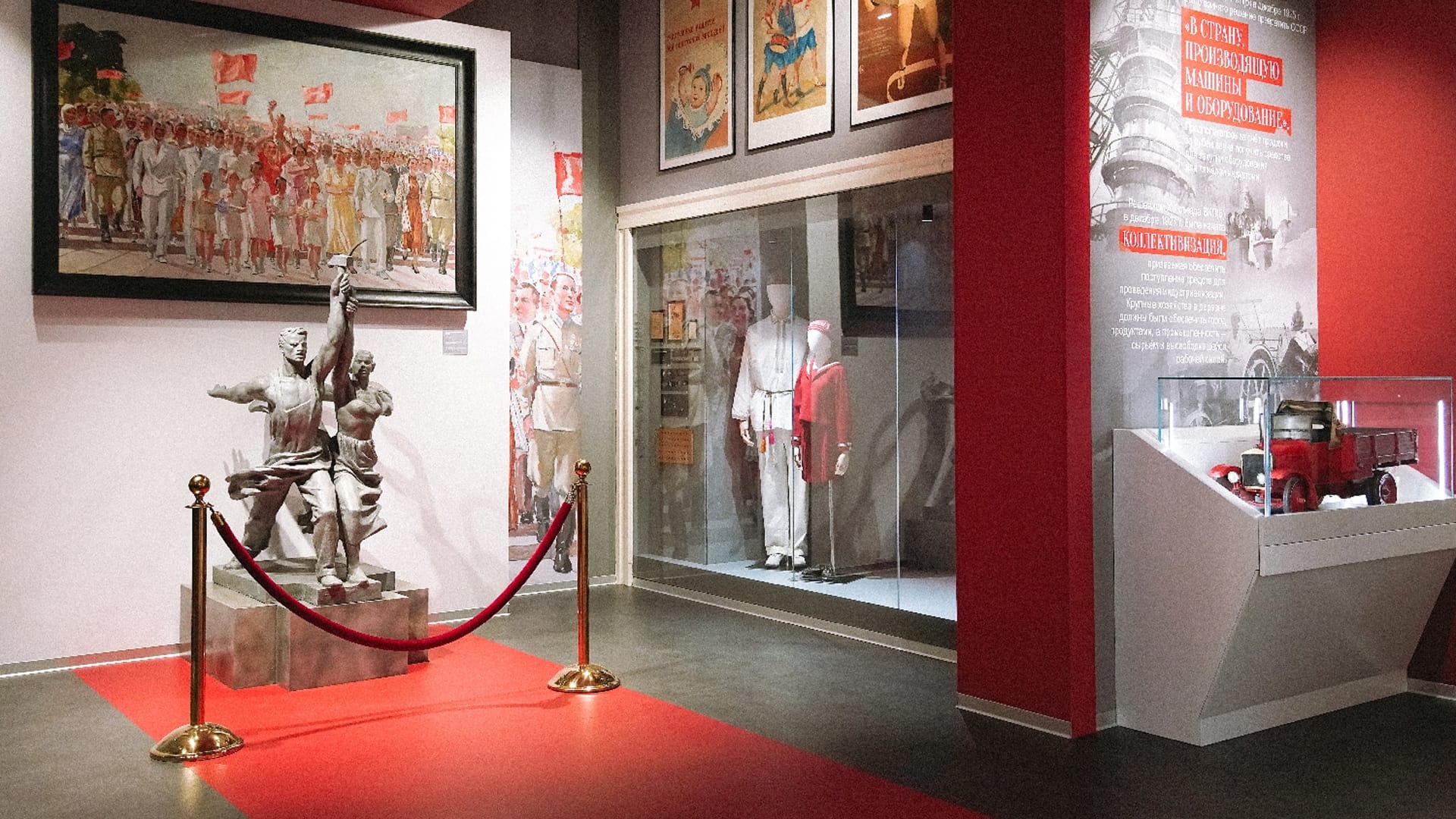
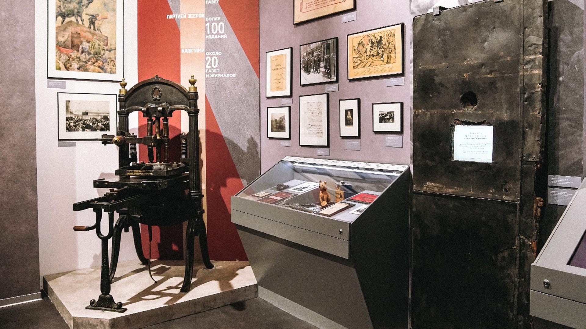
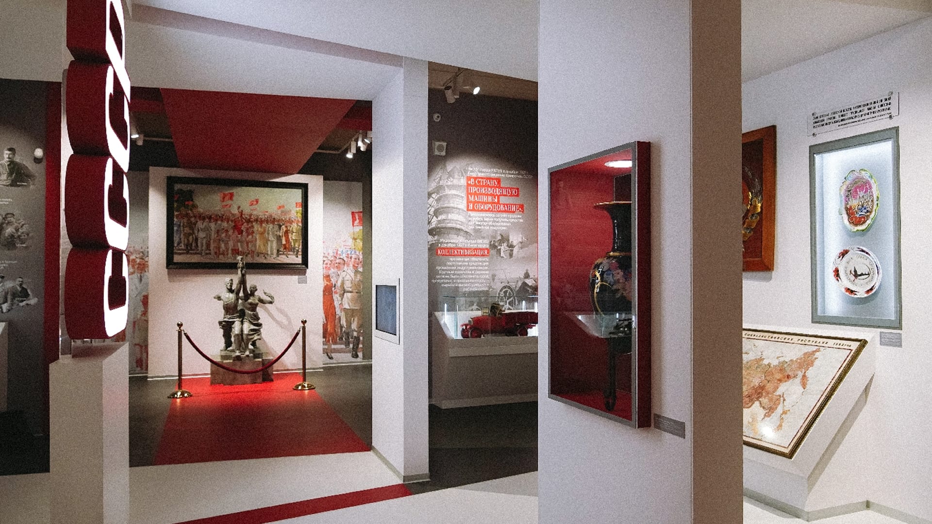
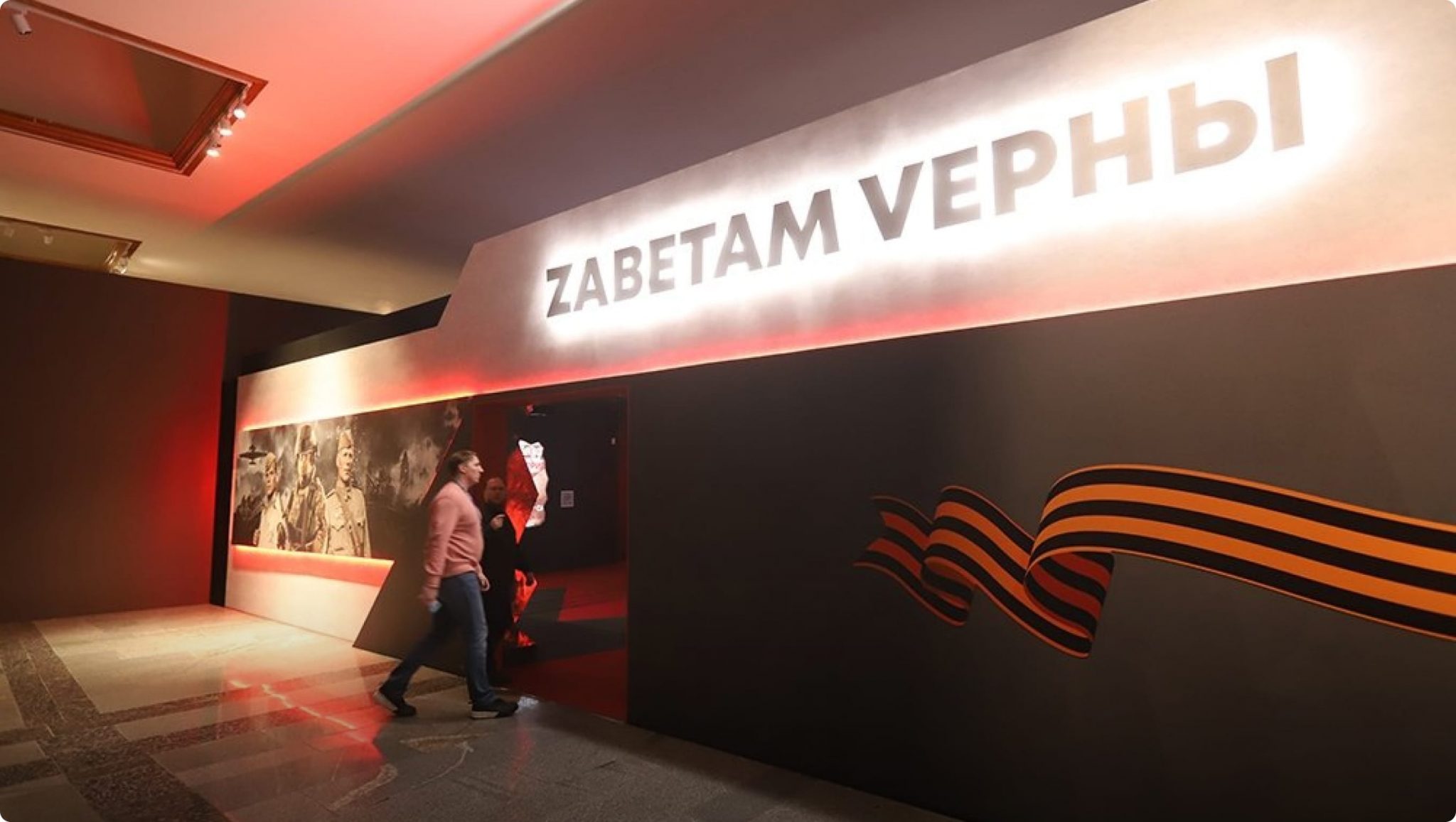
On 14 November 2022 a new permanent exhibition, “Russia and the USSR from 1917 to the early 1950s”, opened at the Museum of Contemporary History of Russia on Tverskaya Street: six halls, from the 1917 revolution to the atomic project. Visitors were admitted the following day.
Year
2022
Industry
Museums
Scope of work
6 interactive exhibits, an interactive Civil War map platform for the hall and the website, software for the map table on 12 battles and for the “Sharashka” control panel, content management systems
Venue
Museum of Contemporary History of Russia, Moscow
- 6
- interactive exhibits in the halls on 1917–1930s
- 12
- battles of the Great Patriotic War on the map table
- 1000+
- events on the Civil War map
The task
Each project had its own task: the exhibits had to present material in different ways, the map had to work identically in the hall and online, and the table had to tell the story of twelve battles of 1941–1945.
The brief for the exhibits had seven items: a content management system and six exhibits. Each had its own way of presenting material: touch-sensitive glass over coins and badges in a display case, books in a study, posters on a screen inside a three-dimensional composition, a video in a shop started by a button, and touch screens on collectivisation and on the heroes of the 1930s. Work ran from 27 September to 1 November 2022.
For the Civil War map, the technical specification called for three layers — military operations, political structure, economy — a timeline with events at each point in time accompanied by photographs, documents and other materials, and mini-games at certain points. In the hall, control had to be on one device and the image on another, larger one. The museum wanted to fill the map itself, without developers, and to keep adding to it after the opening. Under the contract, work ran from 20 July to 31 December 2022; the map was running in the hall by the time the exhibition opened.
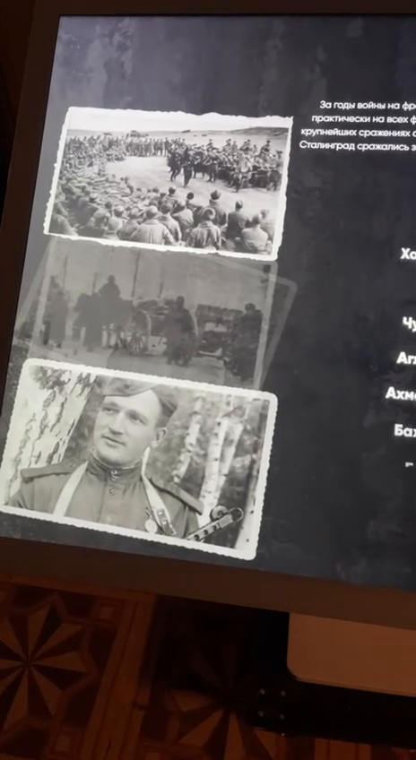
Under the technical specification, the table with the map “Major battles of the Great Patriotic War” is laid out like a clock: each of the twelve battles has its own sector of the map and its own page — a video, the balance of forces, documents and photographs, commanders and heroes, losses. The work had to be delivered by 1 November 2022, two weeks before the opening.
What we did
Interactive exhibits
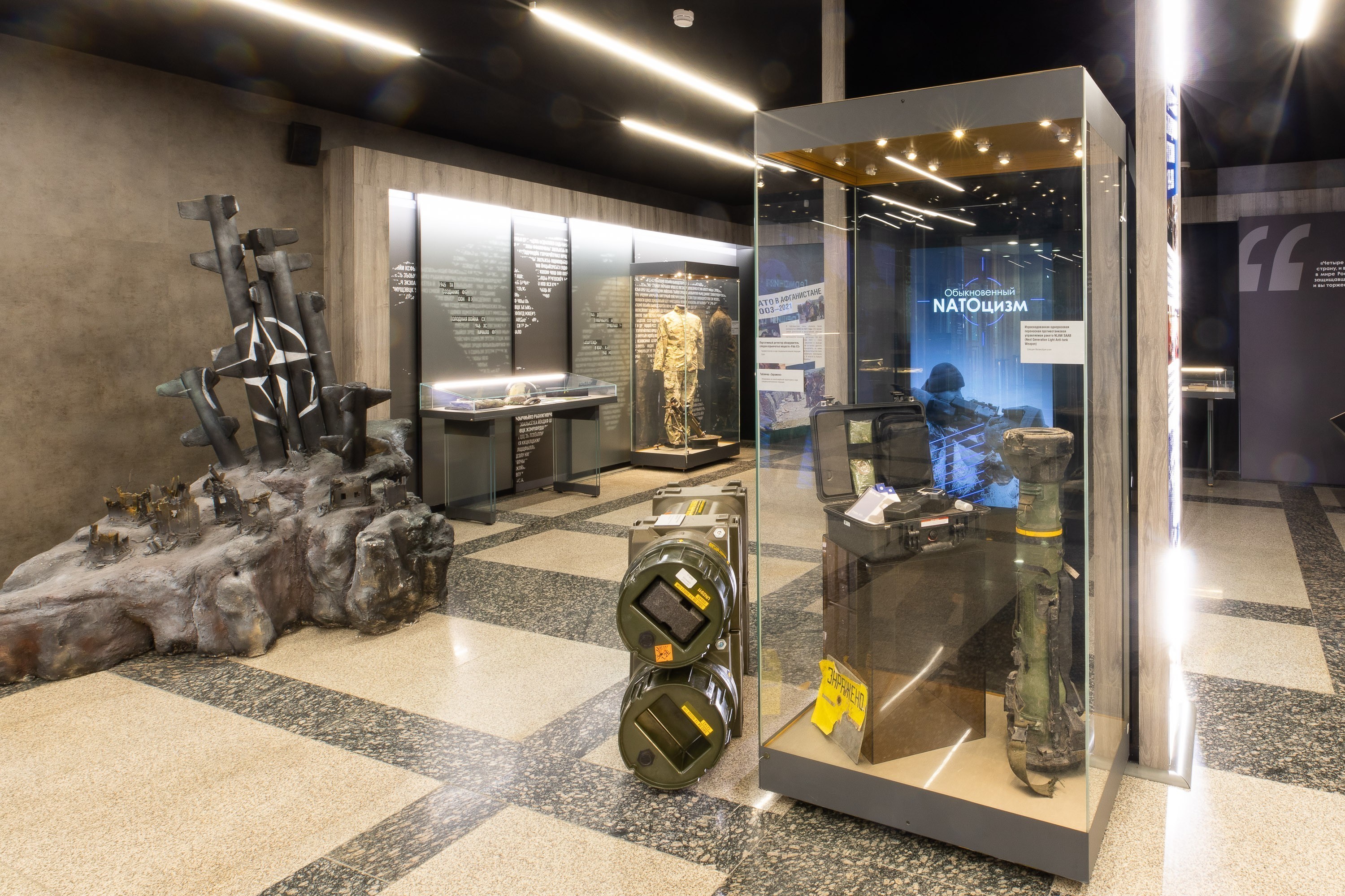
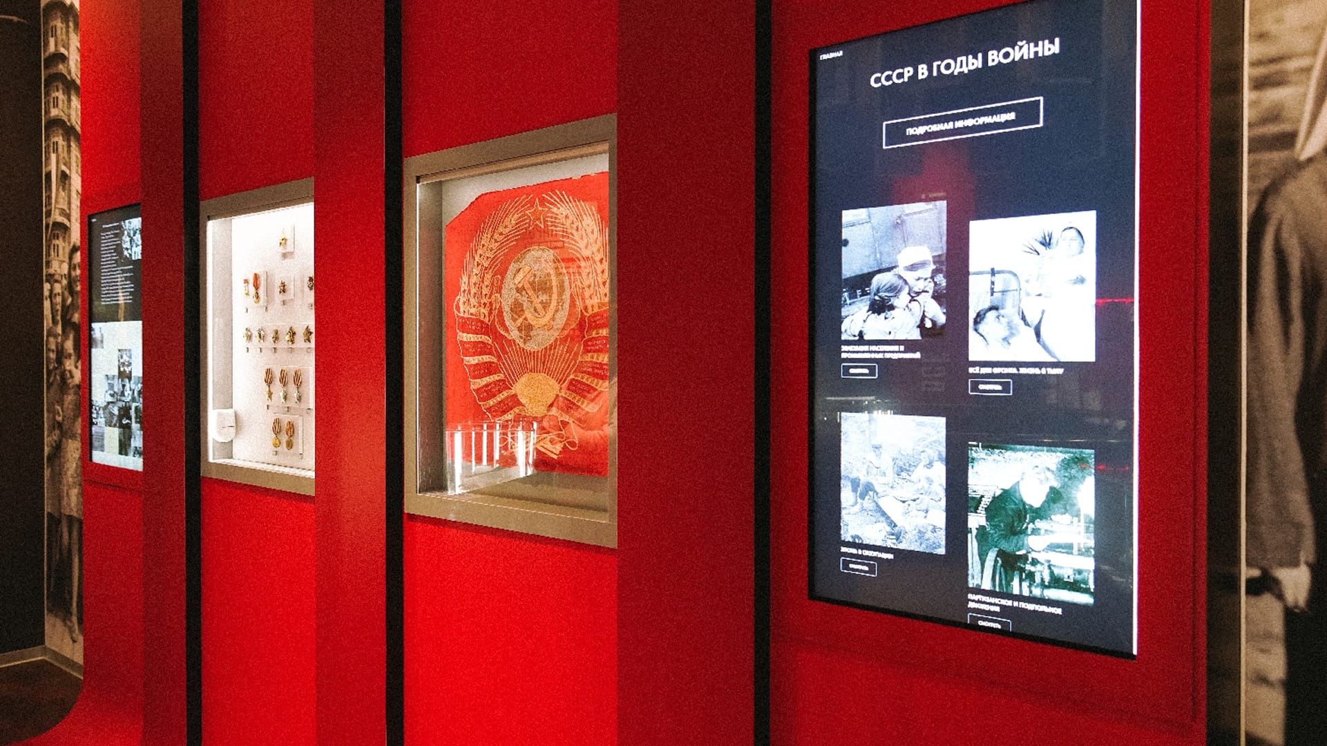
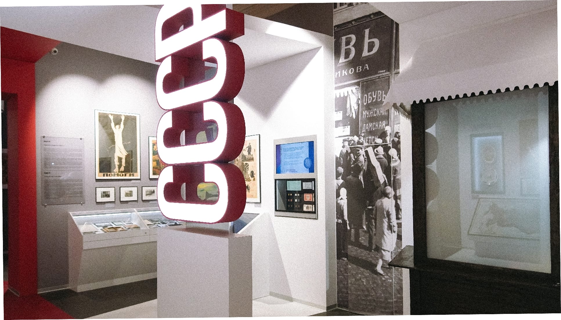
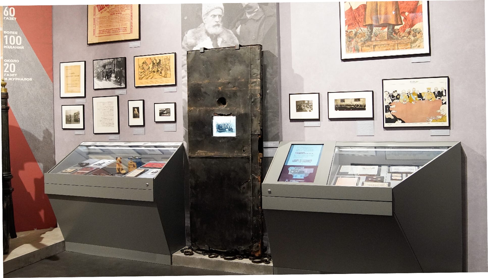
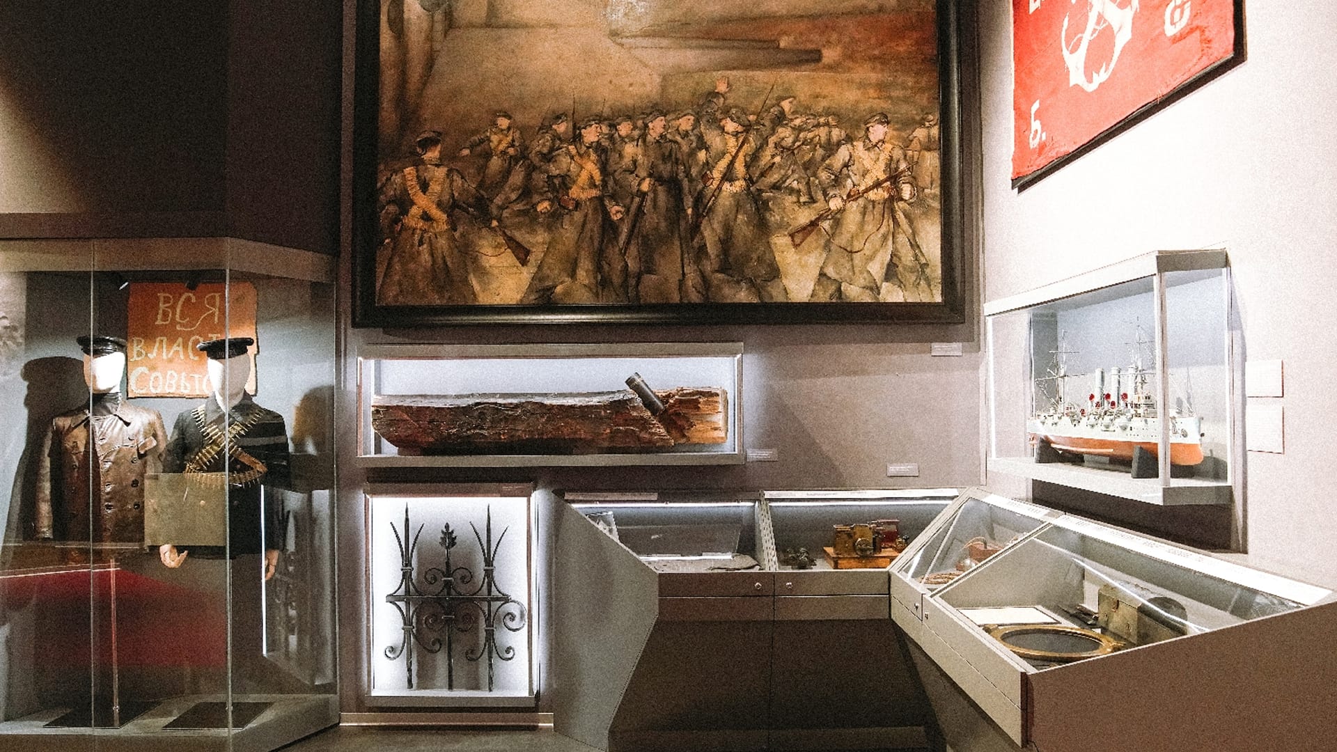
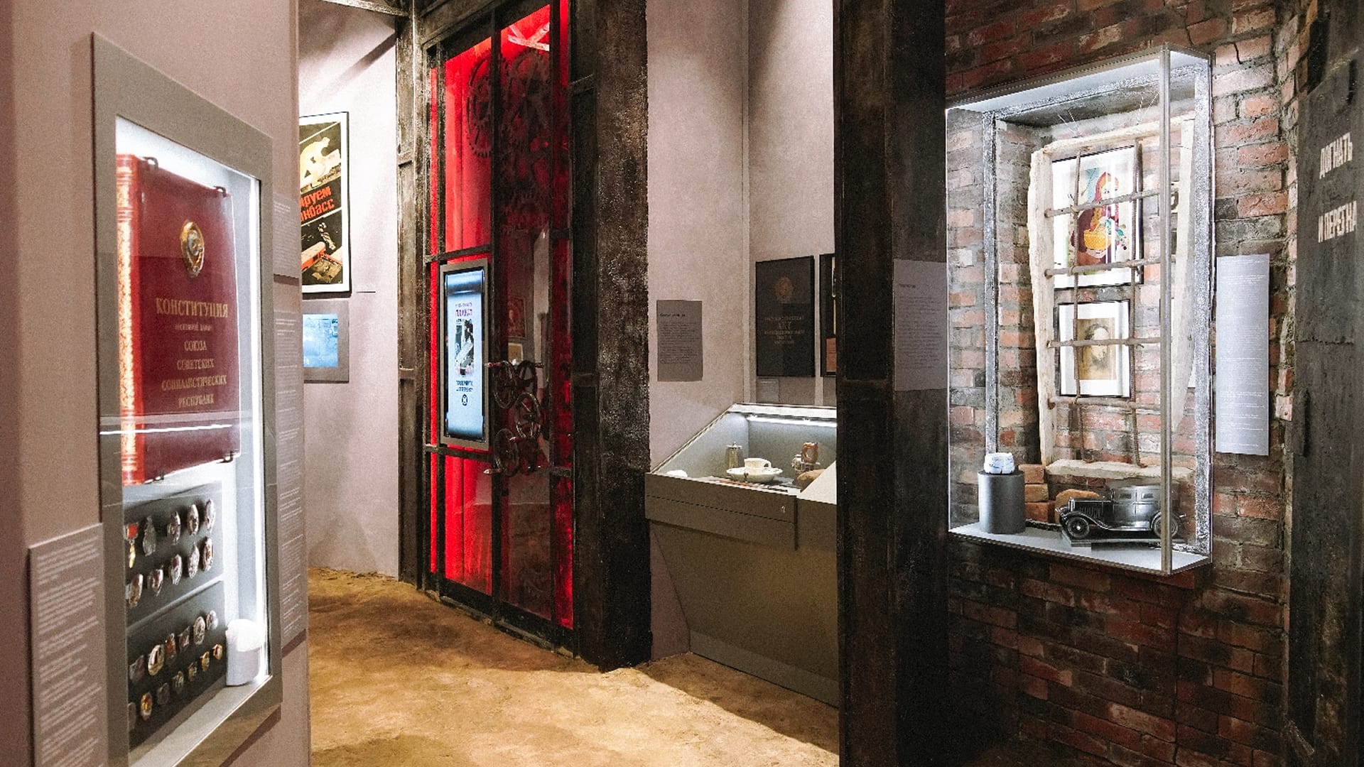
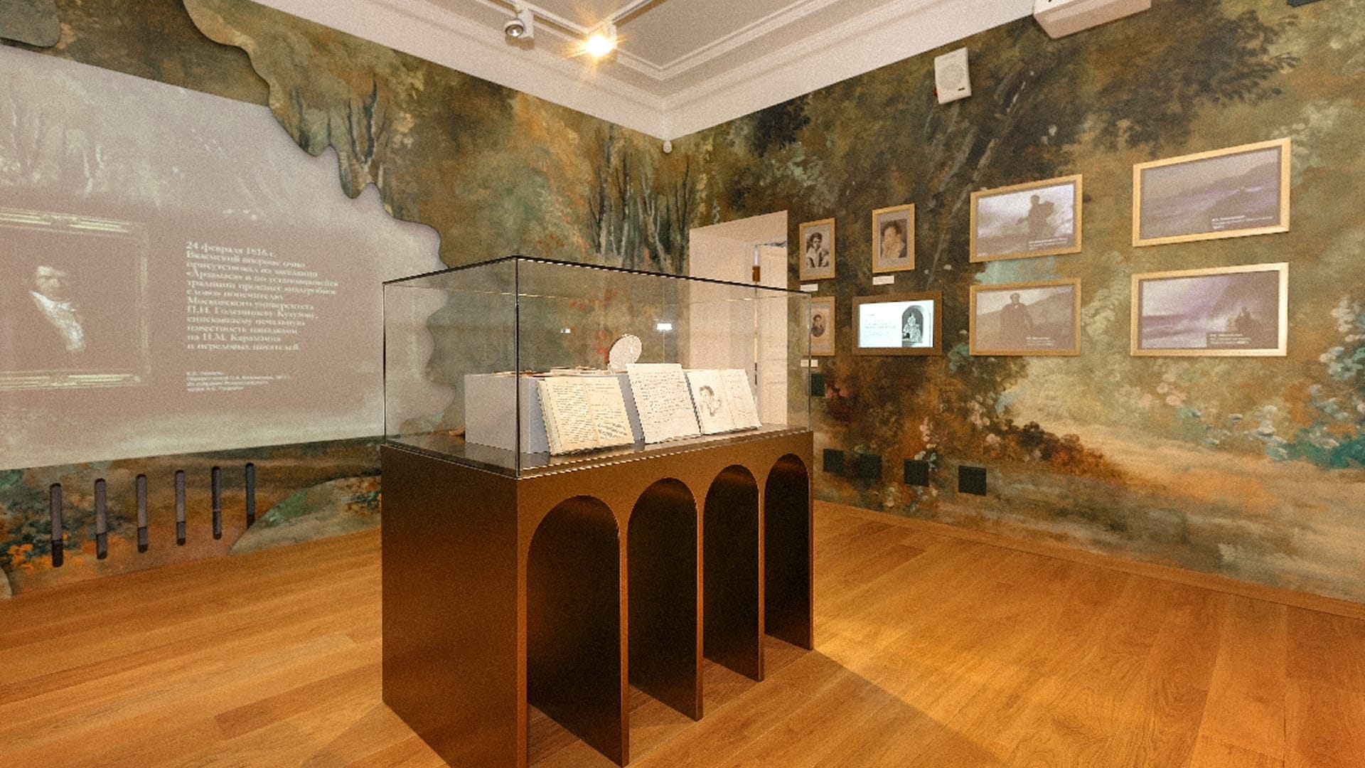
Electronic labels. A display case with touch-sensitive glass over coins, banknotes, tokens and badges, with a screen beside it. The visitor touches the glass above an object and its photograph and description appear on the screen. There are two such cases — in halls No. 9 and No. 11.
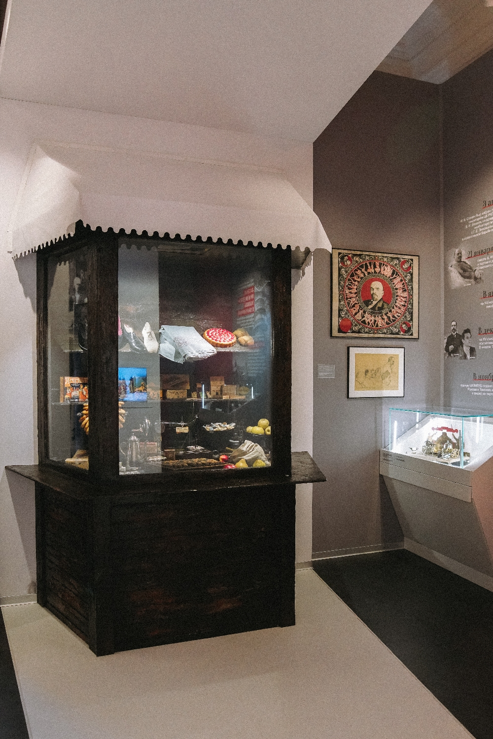
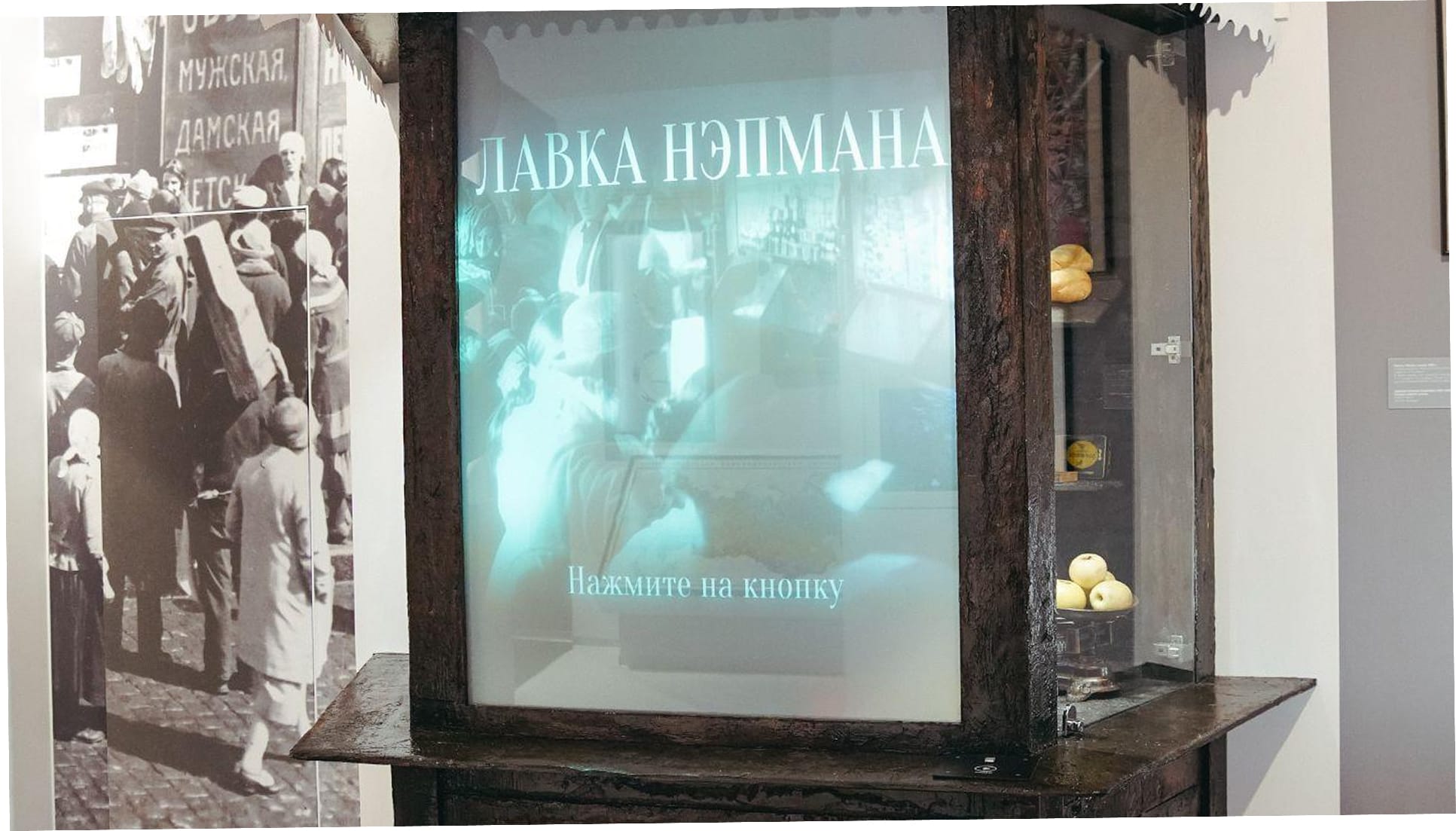
“The NEPman’s shop”. In the 1920s hall, a transparent screen is built into the window of a shop full of goods. In standby it shows the words “The NEPman’s shop” and “Press the button”, and the goods on the shelves are visible through the screen. When the visitor presses a button on the counter, a video plays on the screen over the shop window. We programmed the button to start the videos.
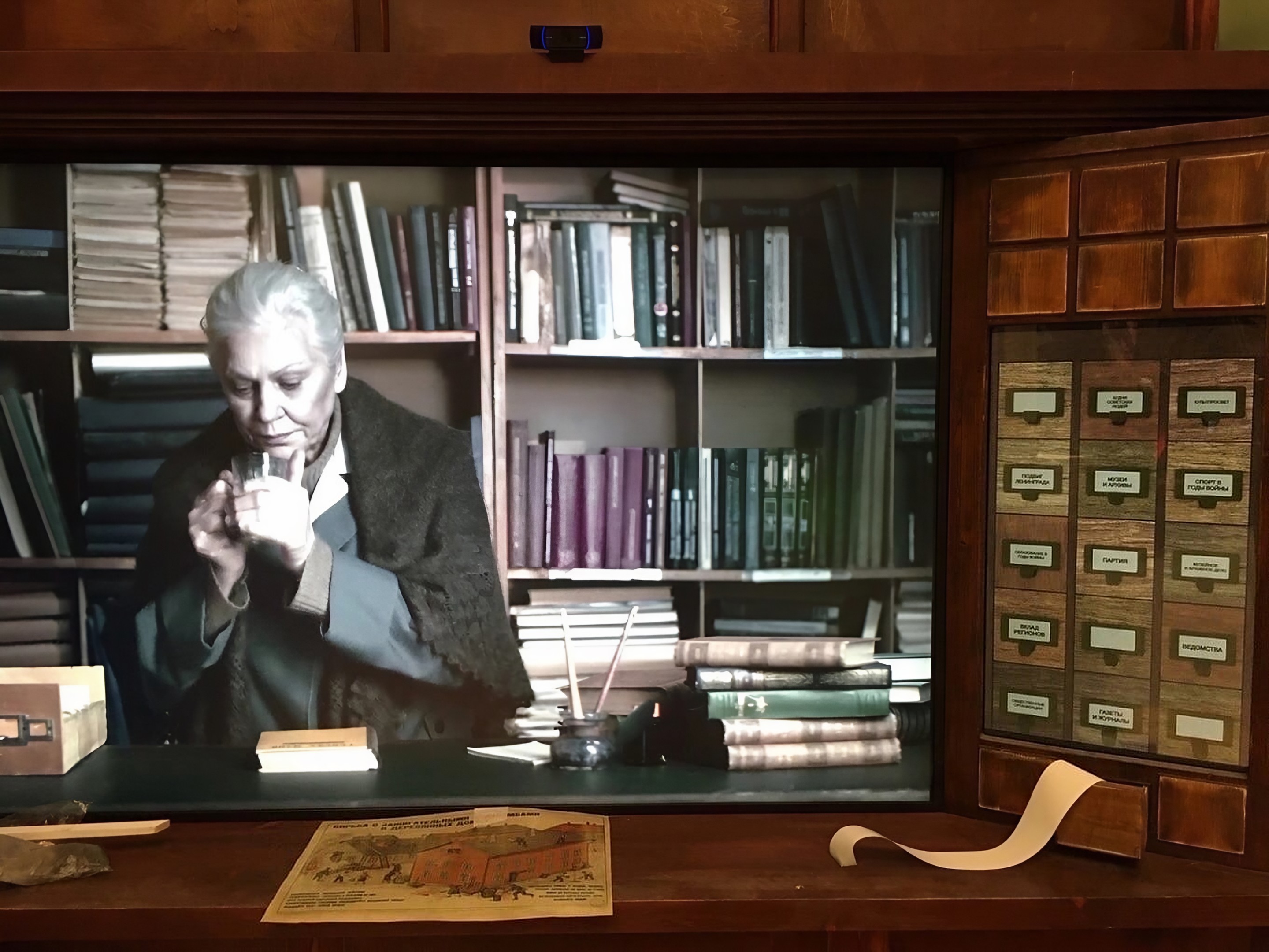
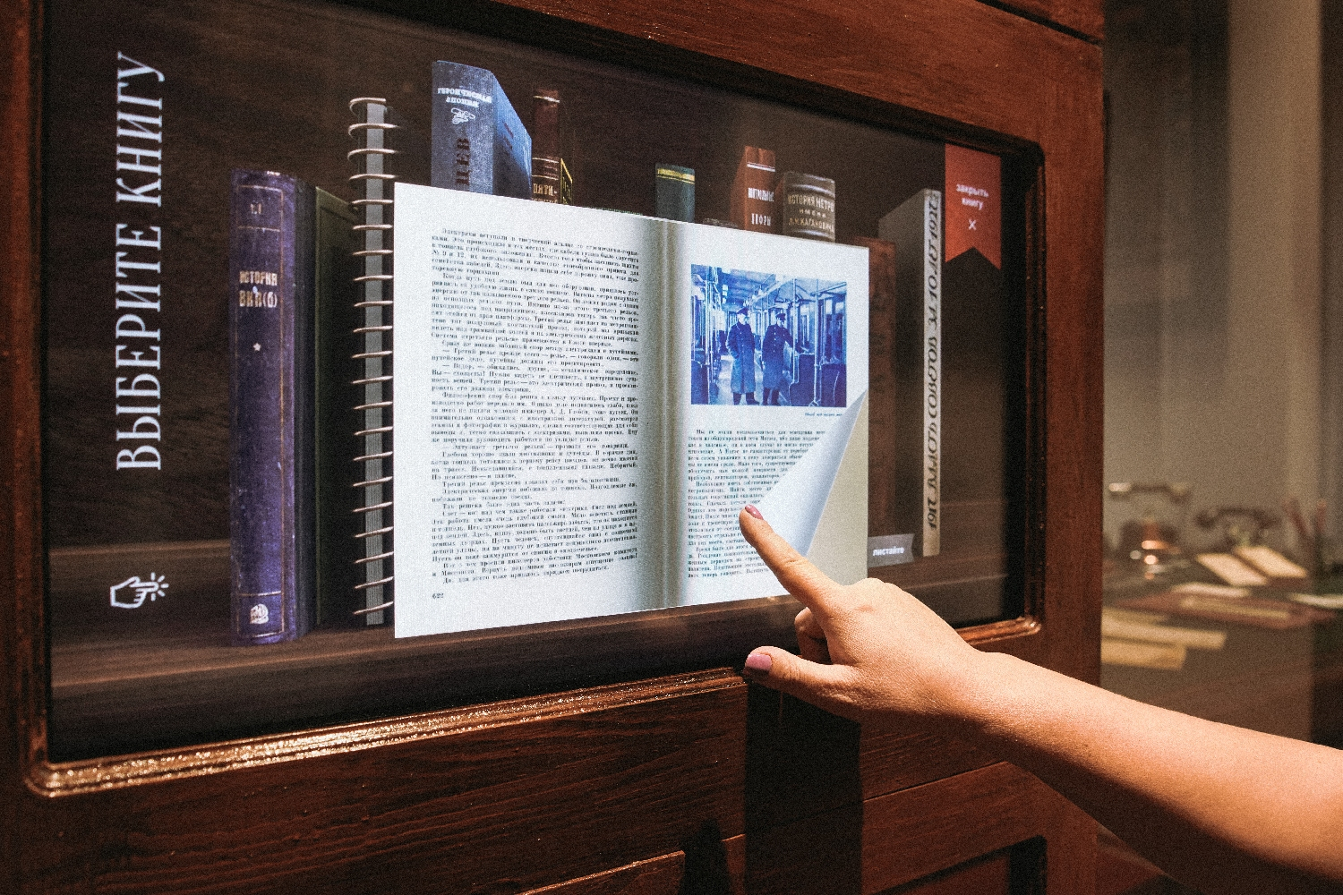
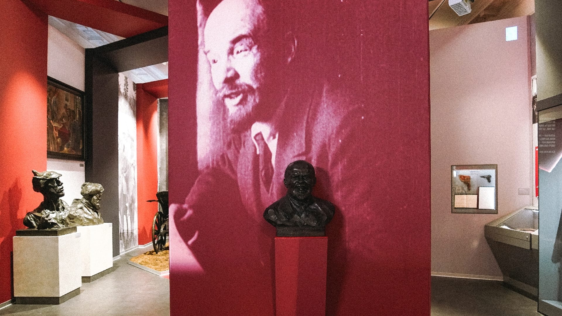
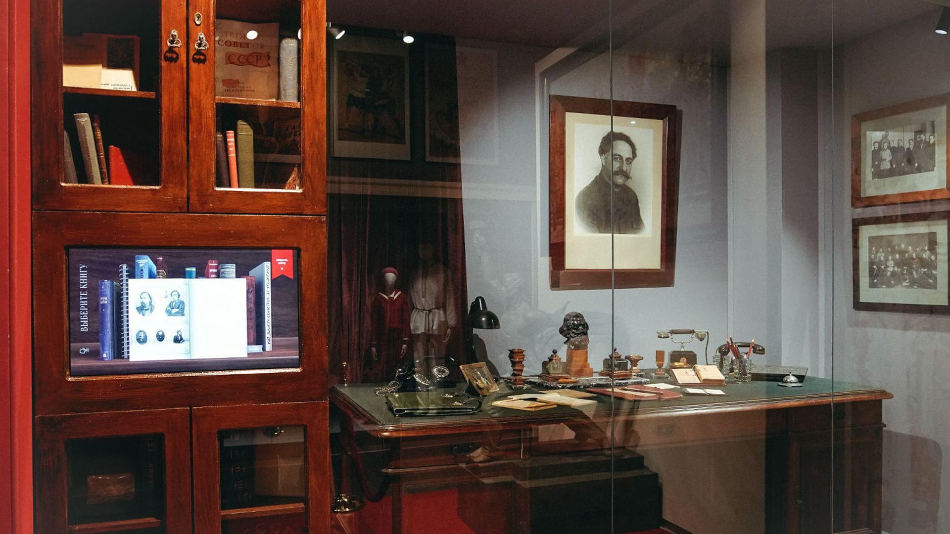
G. K. Ordzhonikidze’s study. In a reconstruction of the People’s Commissar’s study — with a desk and a portrait — a screen with a virtual “Choose a book” shelf is built into the bookcase: “History of the All-Union Communist Party (Bolsheviks)”, “History of the L. M. Kaganovich Metro” and others. Tapping a book opens it as a spread; the pages turn, and the book can be closed and another one chosen.
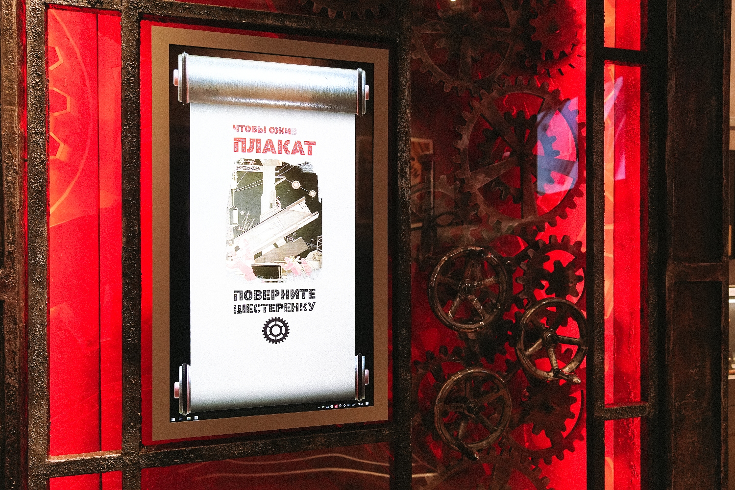
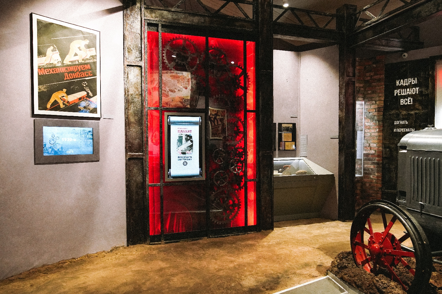
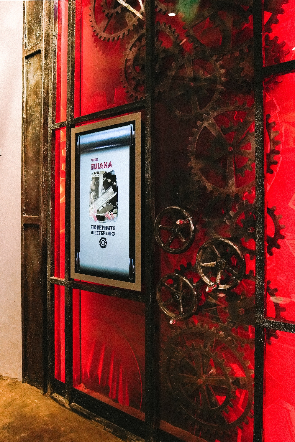
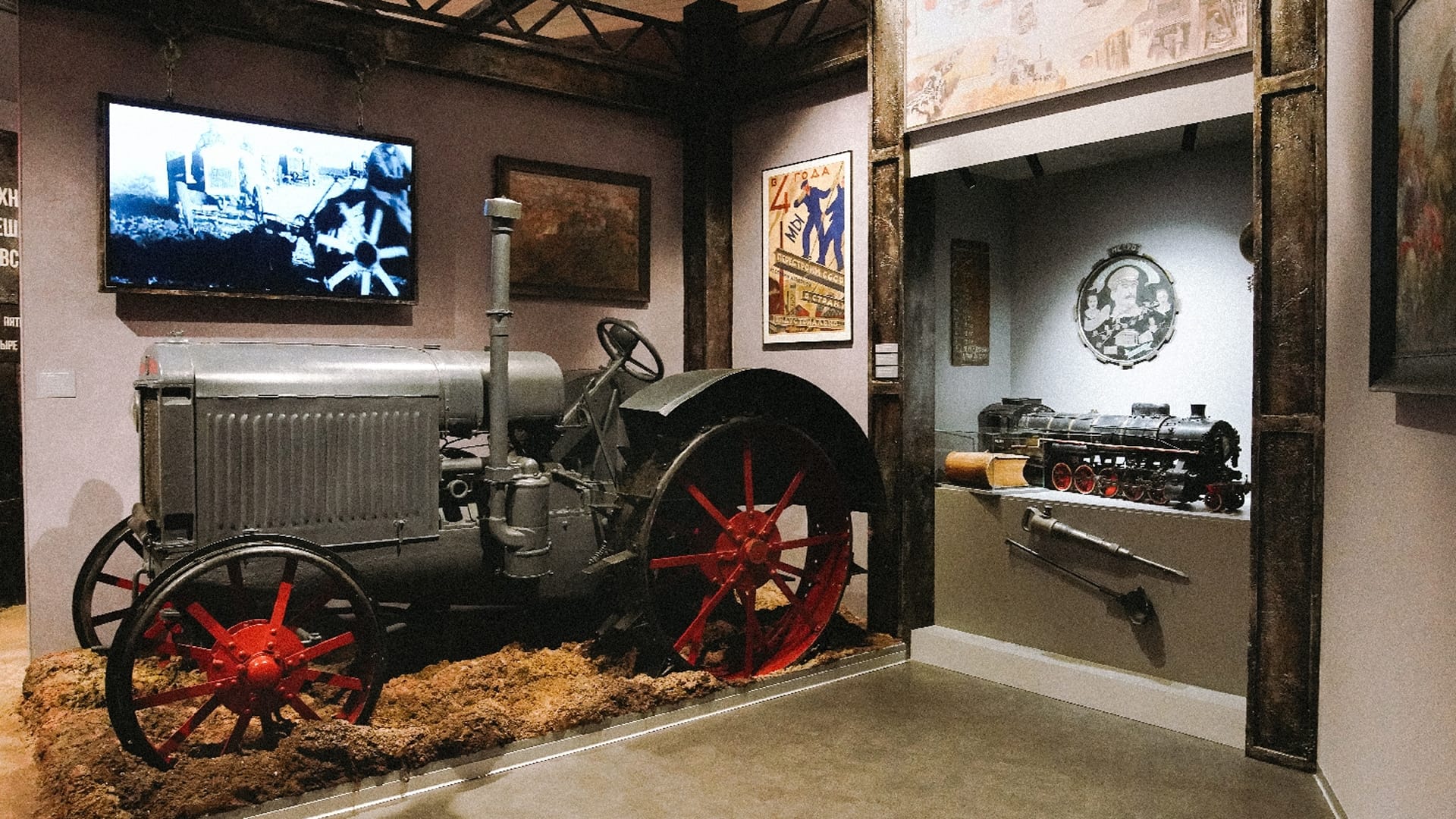
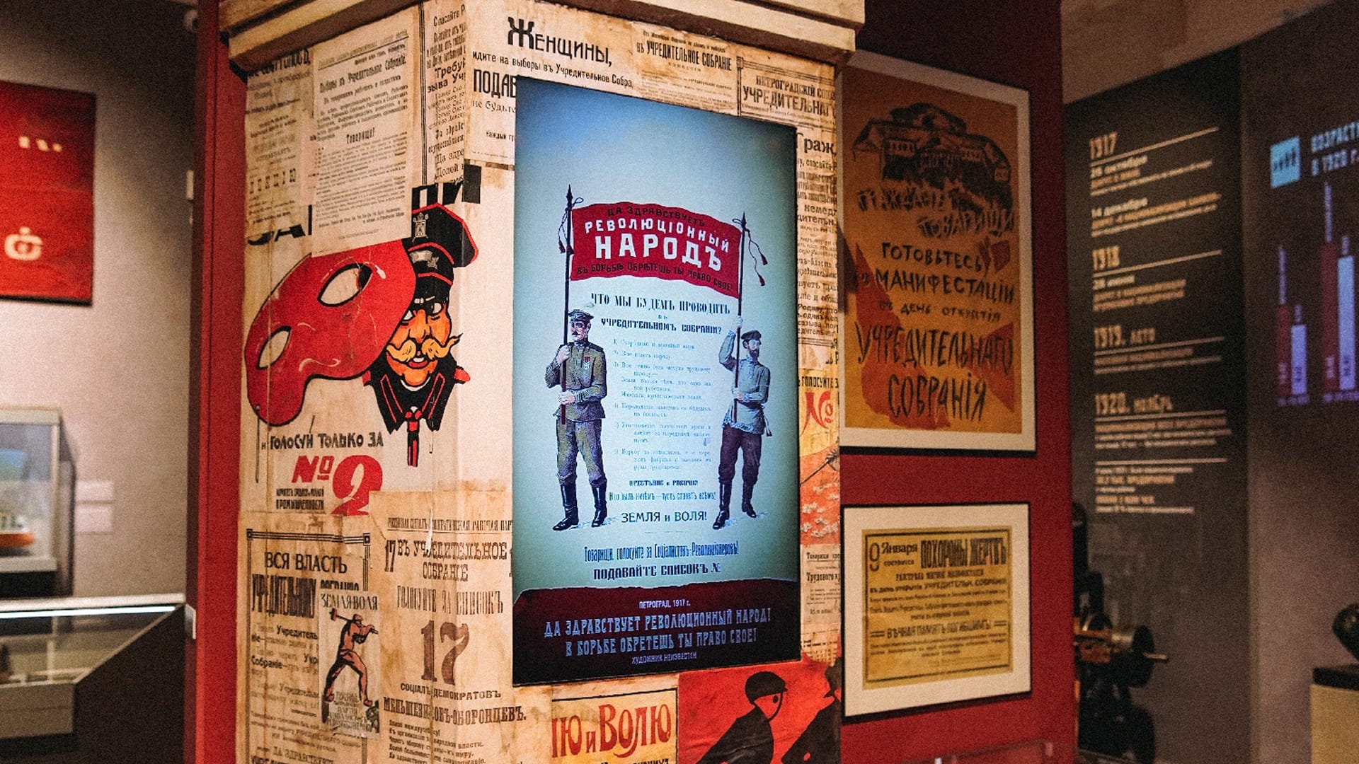
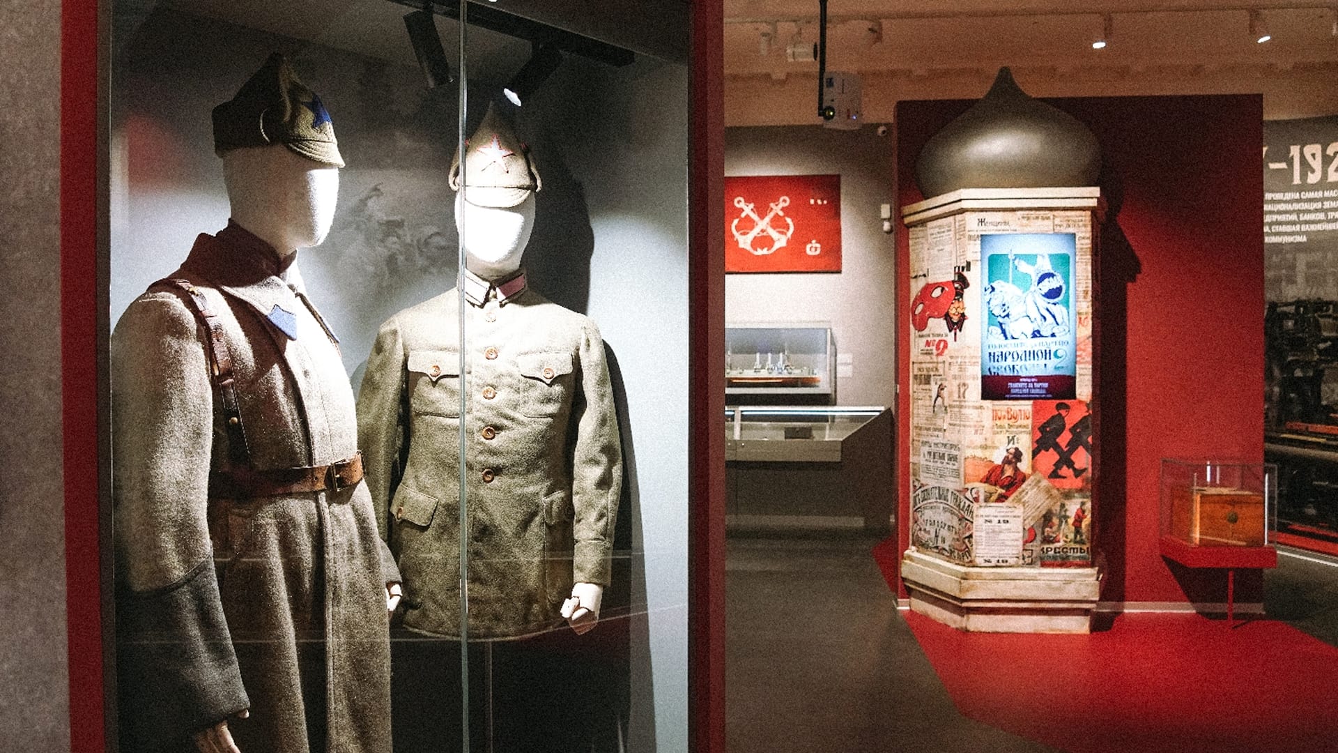
“Gears”. A scroll-shaped screen is built into a three-dimensional composition of gears and wheels lit in red: “Turn the gear to bring the poster to life”. When the visitor turns a wheel, a 1930s poster comes to life on the screen with a caption giving its title, artist, city and year. Among the posters are “For socialist rationalisation, against slavish work rates”, “Sportswoman” and “The five-year plan — a step towards socialism”.
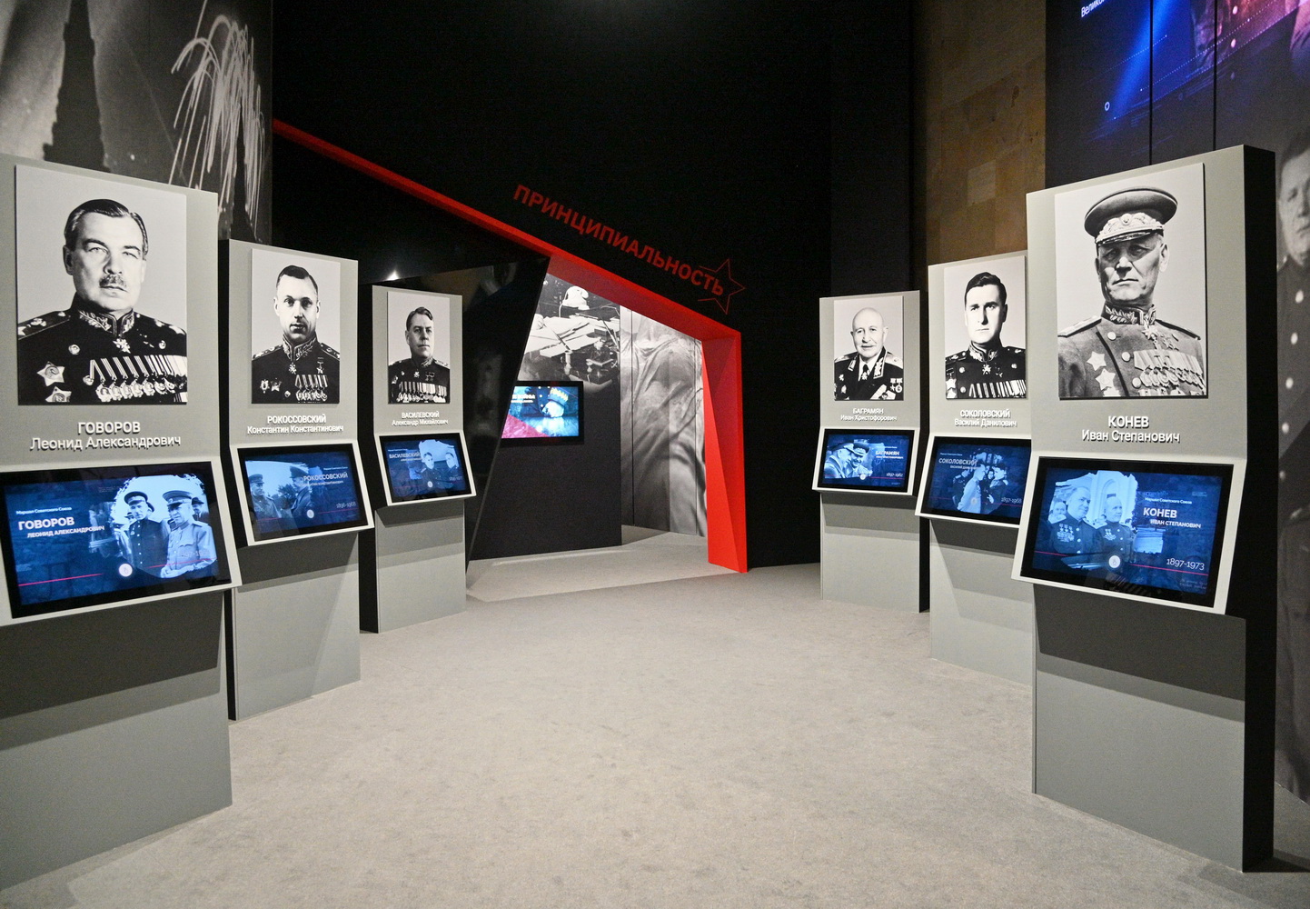
“The collectivisation of agriculture”. A touch screen on collectivisation: sections with images, historical notes, periods and events.
“Heroes of the new society”. A touch screen on the new ideals of the 1930s: pilots, polar explorers, border guards, celebrated workers and collective farmers, the GTO fitness programme and Osoaviakhim — photographs, infographics, texts.
We built a content management system for the materials of all the exhibits.
Interactive map of the Civil War
The map was created with the support of the Presidential Fund for Cultural Initiatives and the autonomous non-profit organisation “Centre for Public Education”. The content — events, photographs, documents, biographies — was prepared by museum staff and experts from the Russian Historical Society. We built the software: a single platform that runs both the installation in the hall and the website, and a content management system through which the museum fills the map.
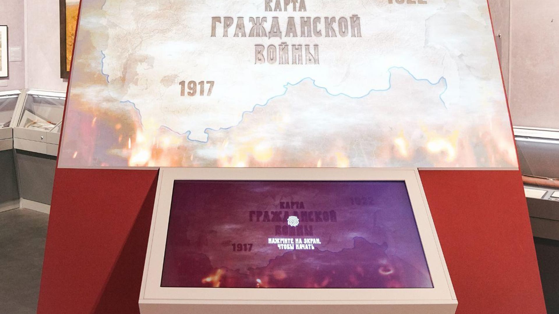
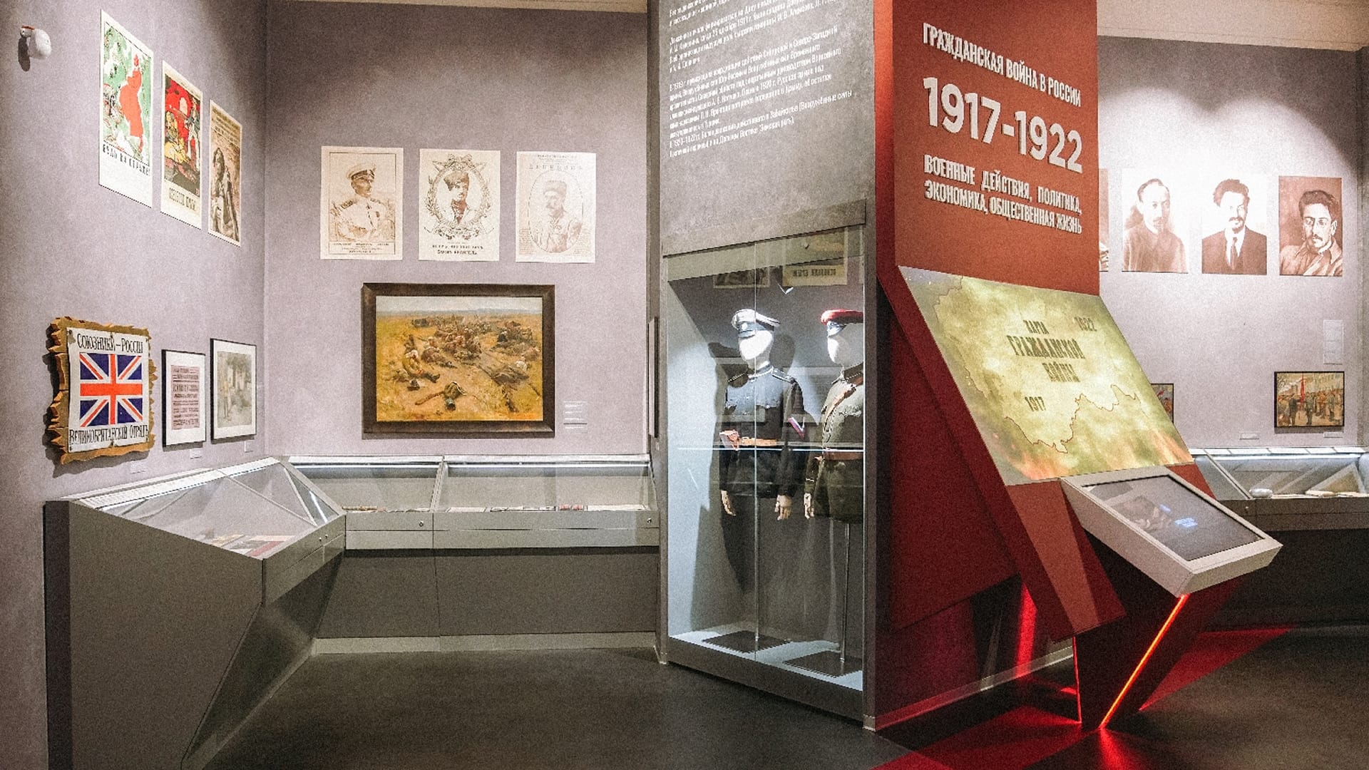
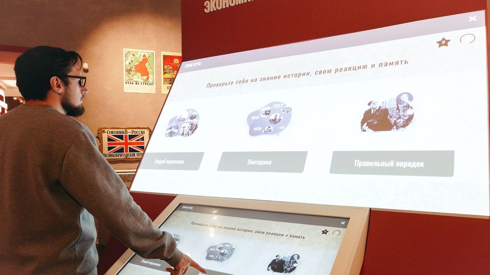
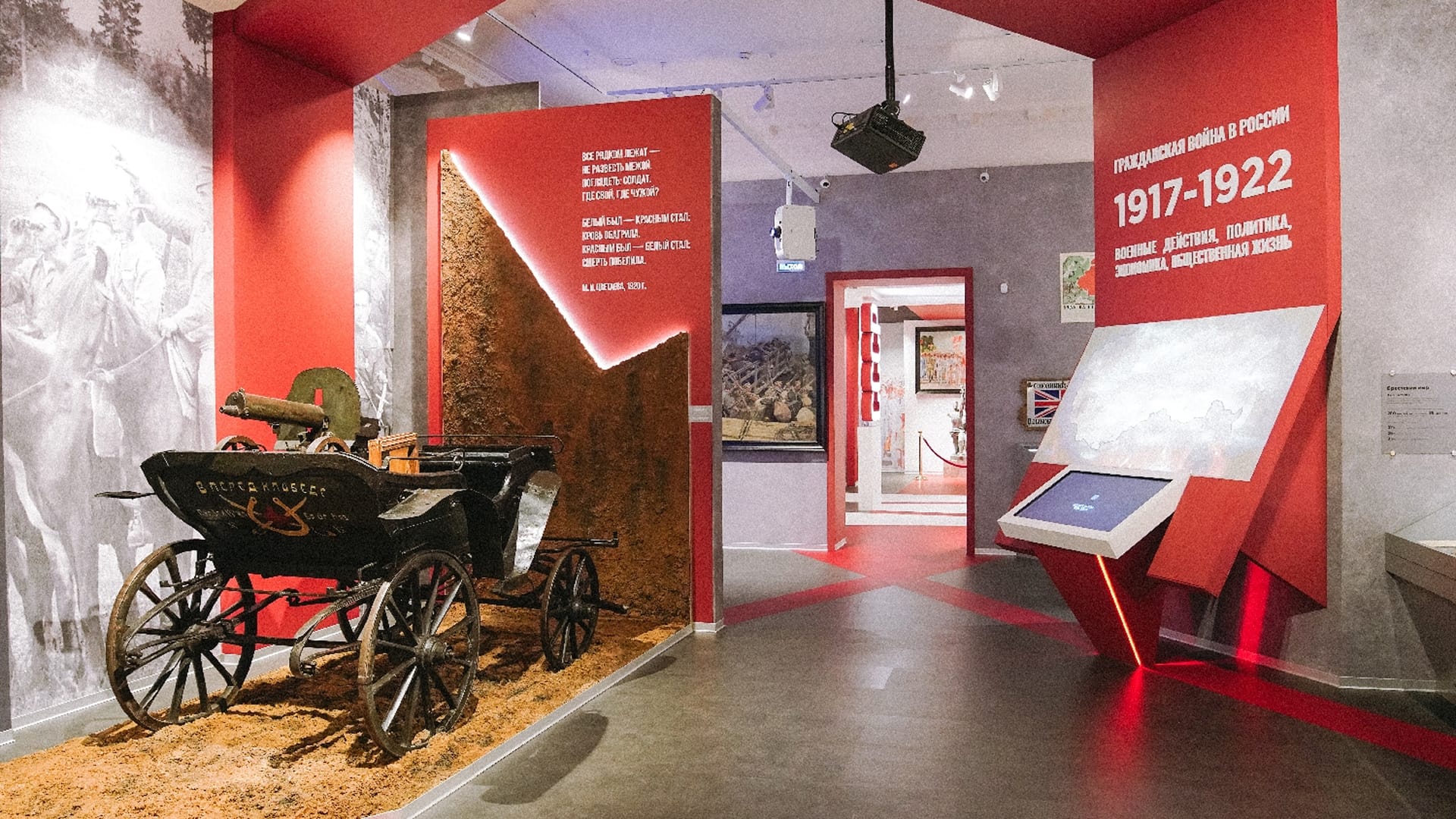
The installation in the hall. Under the heading “The Civil War in Russia. 1917–1922”, the map is projected onto an inclined panel, with a touch console in front of it showing the same image. The visitor controls the map on the console, and everyone standing nearby can see it. In standby, both screens show the title “Map of the Civil War. 1917–1922” and the prompt “Touch the screen to start”.
The map. Three layers — “War”, “Politics”, “Economy” — are switched with buttons at the top. At the bottom is a timeline from 1917 to 1922 divided into stages: the visitor chooses a period, for example “January 1919 — March 1919”, and events from that time appear on the map as markers for cities and regions showing the number of events. Each event has a place, dates and a description, for example “Tsaritsyn, July 1918 — February 1919. Three attempts by the Cossack Don Army to advance on Tsaritsyn”. There is search and zoom.
Mini-games. “Test your knowledge of history, your reactions and your memory”: “Guess the character”, “Quiz” and “Right order”.
Web version. The same map in a browser, with the same layers, timeline, search and mini-games. Findings can be shared on VK, Odnoklassniki and Telegram.
Content management system. A database and an interface for museum staff: through it the museum itself adds events, materials and people to the map.
Map of the battles of the Great Patriotic War
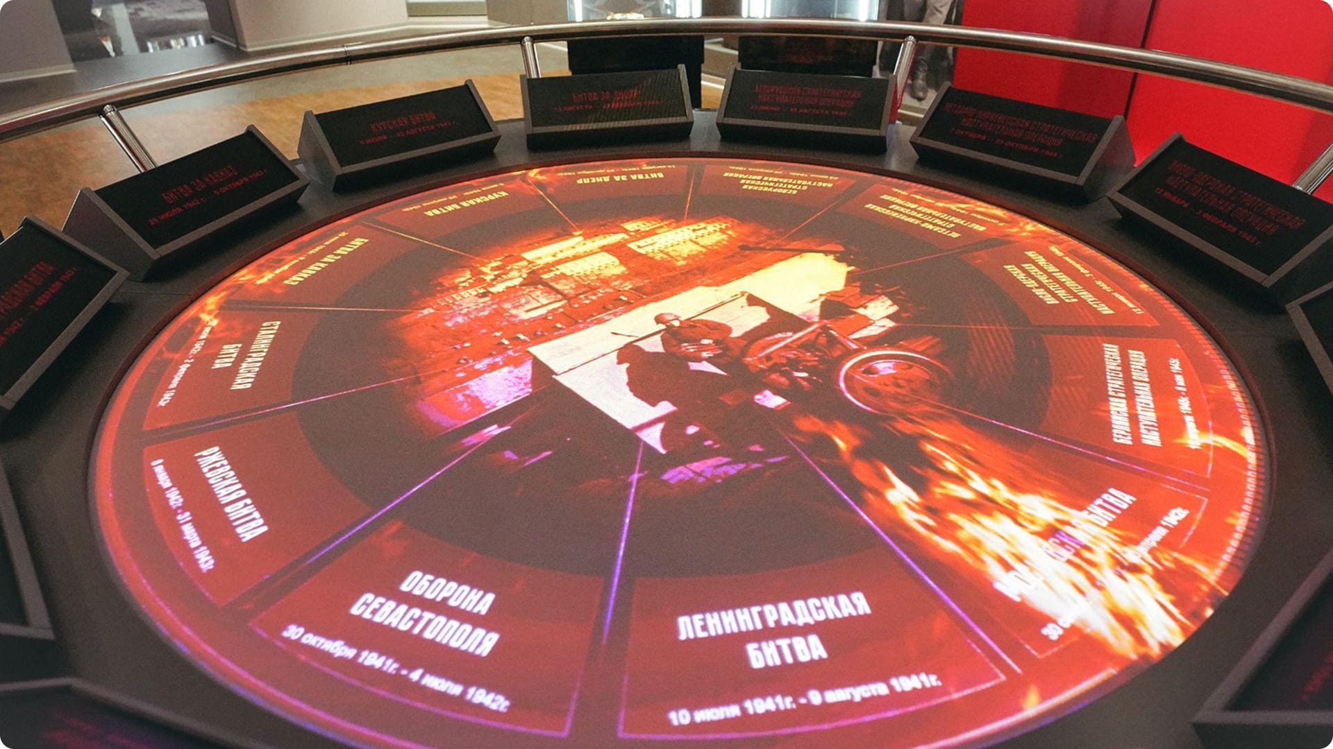
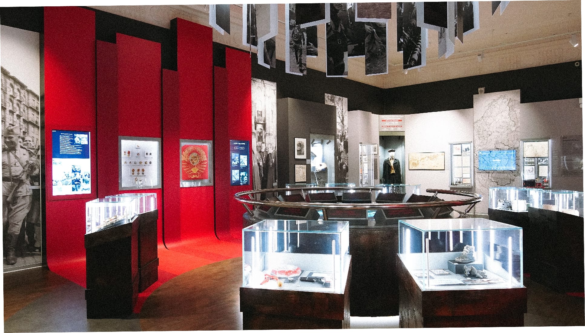
In the section on the Great Patriotic War stands the interactive map “Major battles of the Great Patriotic War” — a round table in the centre of the hall. We built its software: the “clock” map of twelve battles, the battle pages with their sections, and video playback.
Main screen. A “clock” map of twelve sectors: the Battle of Moscow, the Battle of Leningrad, the defence of Sevastopol, the Battle of Rzhev, the Battle of Stalingrad, the Battle of the Caucasus, the Battle of Kursk, the Battle of the Dnieper and four strategic offensive operations — Belorussian, Petsamo–Kirkenes, Vistula–Oder and Berlin. Around the edge of the tabletop are twelve lightboxes with the same names and dates. Battles are selected with a spinner and buttons on a console by the table.
Battle page. The name, the forces on both sides and one large figure — for example, “The Nazi occupation of Kyiv lasted 778 days”, or “Duration of the battle — 200 days” for Stalingrad. Around it are five sections: “Balance of forces at the start of the battle”, “Commanders and heroes”, “Documents and photographs”, “Events and facts”, “Losses”. “Events and facts” contains cards with an archive photograph and text, paged through with arrows.
Battle video. It fills the whole tabletop: a title card with the name and dates, then newsreel footage. Around the edge runs a ring of years from 1941 to 1945.
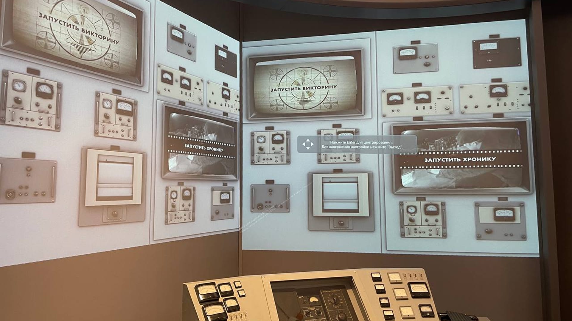
“Sharashka”. In Hall 14 we programmed a control panel that starts a video projection about a nuclear reactor.
How it is built
The exhibits are controlled not only by touching a screen: touch-sensitive glass over the objects in the display case, a button on the shop counter, wheels on “Gears”. Screens: the display case in Hall No. 9 has a 43″ touch frame; Hall No. 11 has a 32″ screen and a 32″ touch frame; the study, 27″; “Collectivisation”, at least 43″; “Gears”, a 43″ panel.
The Civil War map is a single platform for the hall and the website: under the technical specification it runs on the server and on visitors’ devices, and materials come from the content management system. In the hall the controls are on the touch console and the image is projected above it; the projector hangs from the ceiling in front of the stand. We packaged the content management system in a container and deployed it on a server.
The battle map is projected onto the round tabletop from above: the projector hangs over the table, at the centre of a suspended arrangement of photographs. The lightboxes with the battle names stand in a circle on the rim of the table; the sector labels on the map face the edge, each towards its own lightbox.
Result
The exhibition “Russia and the USSR from 1917 to the early 1950s” opened on 14 November 2022, and to visitors on 15 November. In its announcement of the opening, the museum called the interactive Civil War map a key point of the new exhibition, and wrote that the map “Major battles of the Great Patriotic War” had been created specially for the section on the war.
On 15 February 2023 the museum presented the web version of the Civil War map. At that point the map held “more than 1000 events, several dozen characters and around 700 photographs”. The web version is live — checked in September 2026.