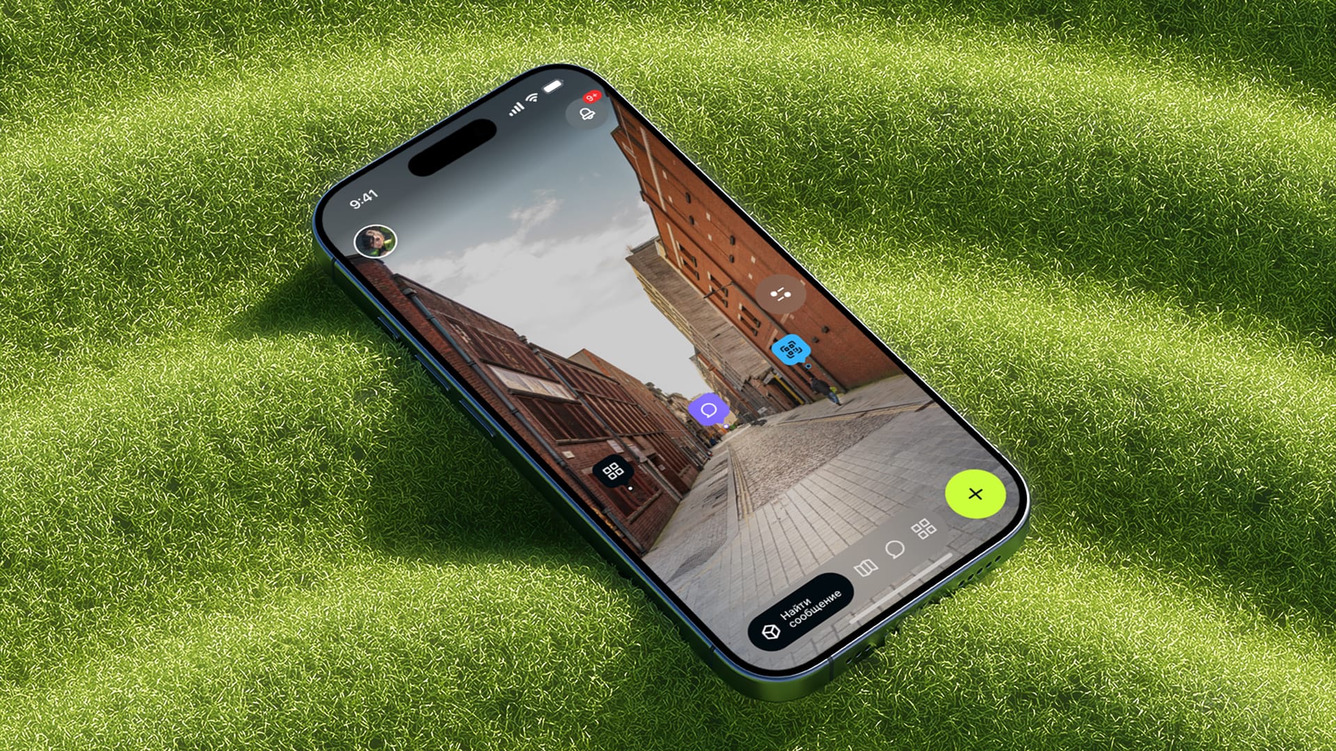
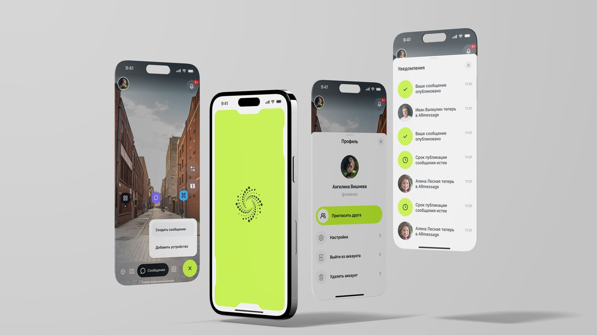
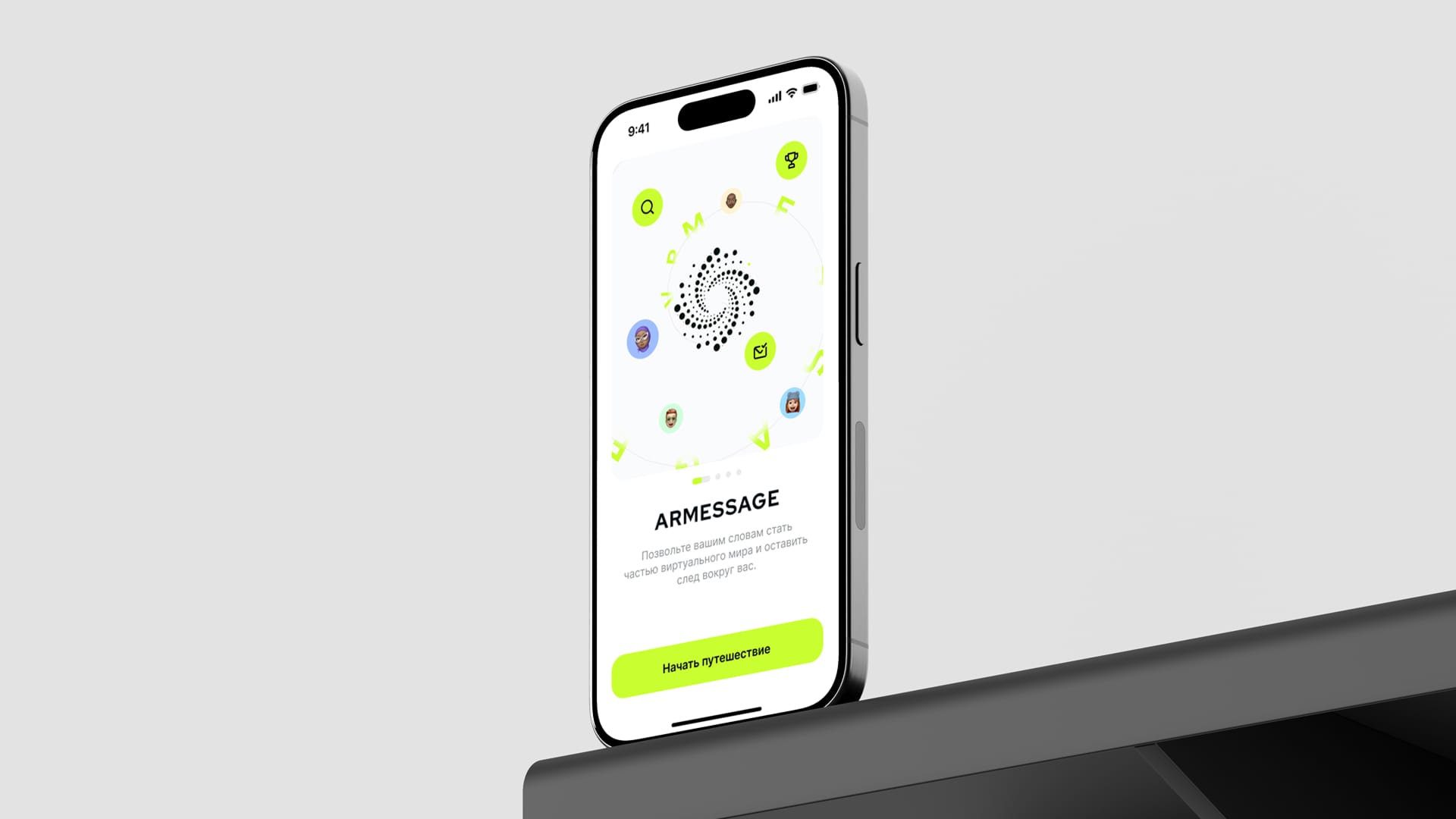
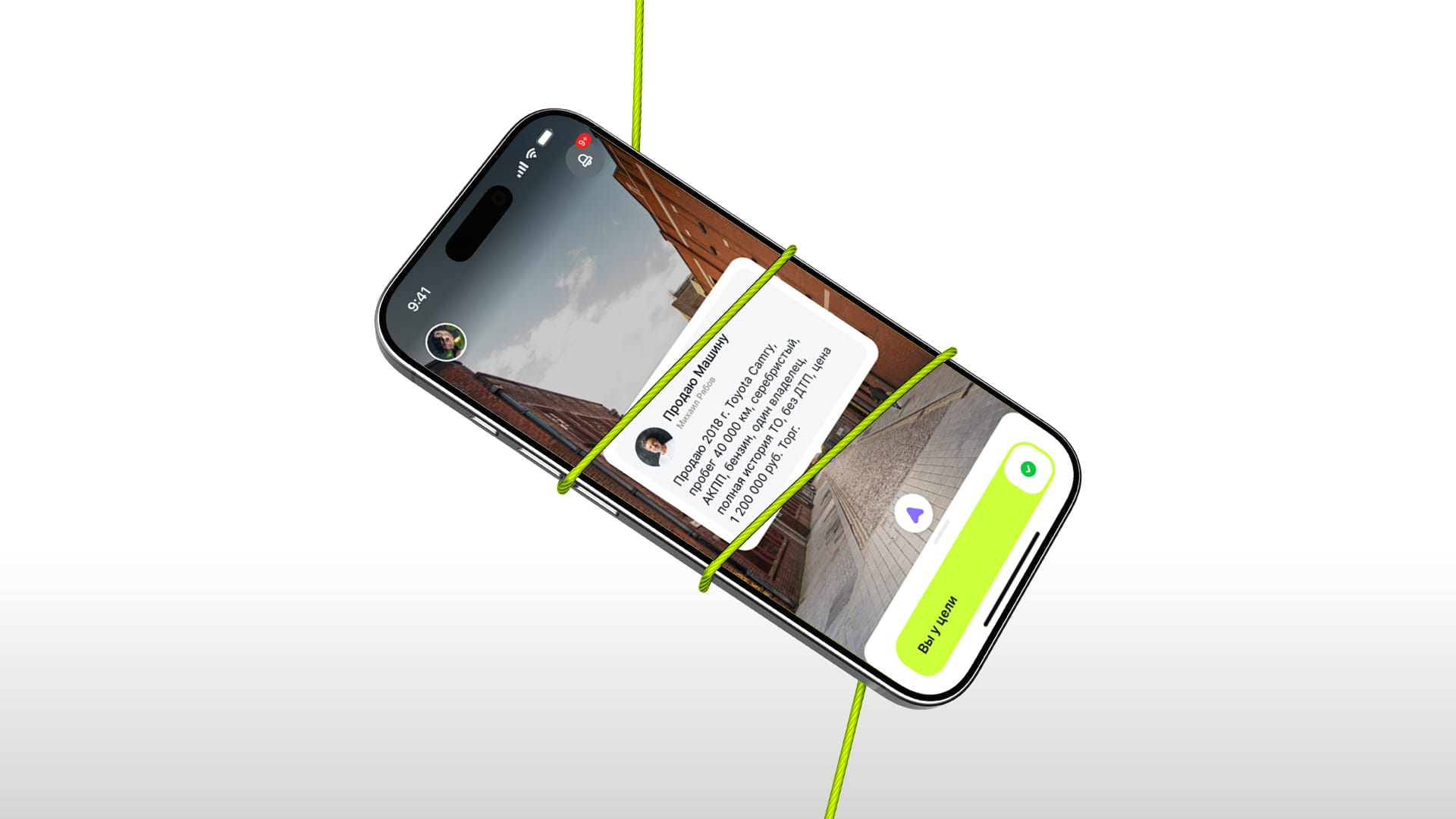
8Vision Studio has developed the concept of an ARGPS geo-tagging application designed to work with spatial data and navigation in an urban environment. The project was aimed at creating a convenient digital tool for orientation, search and visualization of objects in real space.

The project was aimed at creating a convenient digital tool for orientation, search and visualization of objects in real space.

Within the framework of the concept, user scenarios, the logic of geo tags and the structure of application interfaces were worked out. The solution relied on the use of geolocation, digital maps and visual markers for navigation and interaction with space. 8Vision Studio was responsible for developing the product concept, user experience, and visual approach of the ARGPS application. The team has formed the interface structure, interaction scenarios, and the overall logic of the service.

The application concept was developed as a scalable solution designed for use in various urban and infrastructural scenarios. The product architecture involved working with hundreds of geo-tags and supporting many user scenarios.

The ARGPS concept laid the foundation for the further development of a digital product in the field of geo-navigation and spatial services. The project demonstrated the potential of using geo-tags as a tool for working with the urban environment and infrastructure.
